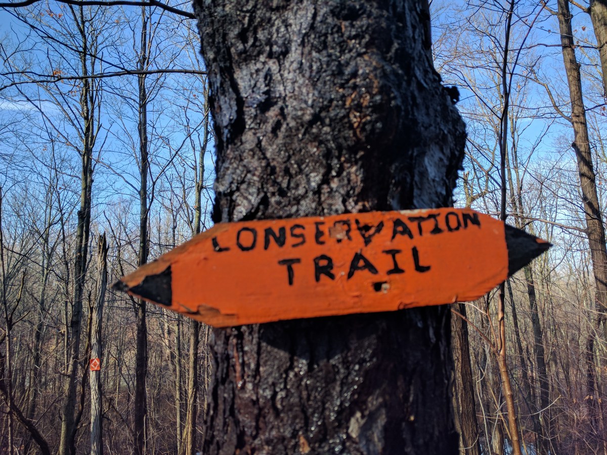
White blazes mark the path of the Appalachian Trail. You can find them on trees, rocks, telephone poles, the road, guard rails, on buildings and more. When I see a white blaze my heart skips a beat and my mood instantly improves. I couldn’t get to the Appalachian Trail white blaze this year so I found another trail with a white blaze. The Finger Lakes Trail.

Most of this next paragraph is shamelessly stolen from the FLTC webpage. The Finger Lakes Trail System includes the main Finger Lakes Trail (FLT) that is routed from the Pennsylvania-New York border in Allegany State Park to the Long Path in the Catskill Forest Preserve. The main FLT is 580 miles long. There are six branch trails (I just completed the Letchworth State Park Branch Trail on August 22) and 29 loop trails and spur trails that extend from the main FLT. All of the branch, loop and spur trails currently total 412 miles. So that means all together the Finger Lakes Trail System offers 1,000 miles of hiking. I better get my boots on!
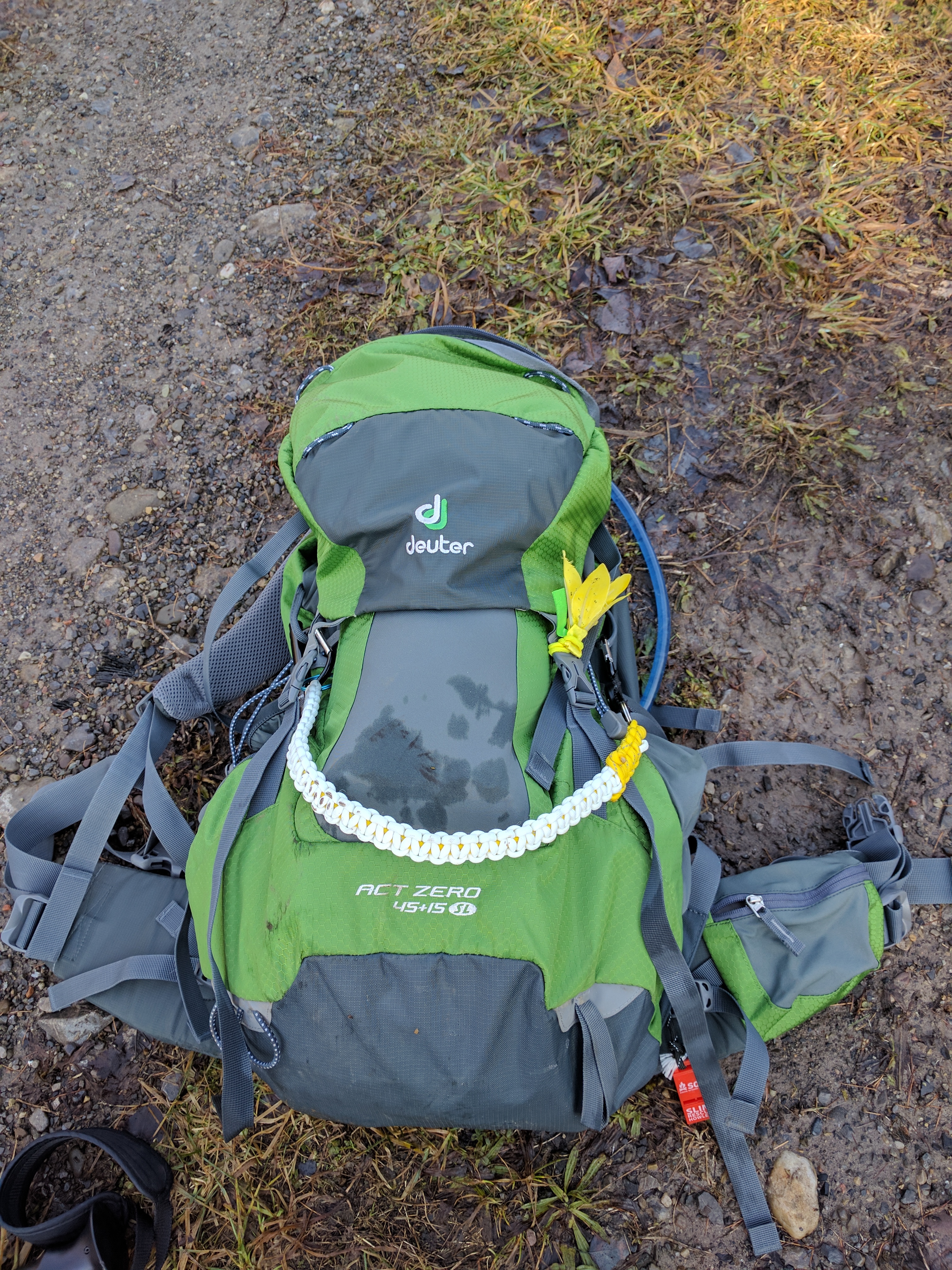
So I did! Well, I wear Altra trail runners not boots, but I put them on last week and packed my backpack for a 55ish mile week long journey on the Finger Lakes Trail. My good friend, Jim (who was also supposed to complete the Appalachian Trail this year, but couldn’t) and I took separate cars and we met at the east end of Robert Treman State Park at a trail head where the FLT meets a parking lot. We left my car there and took his truck to the FLT trail head near Todd Road. This is where Jim calculated we would be by mid-week and would need a food (and whiskey) re-supply. We hiked in about a half mile near a bivouac site and hung the bear bag. We both prayed that it wouldn’t be messed with by people or animals. At this point we drove the rest of the way past Watkins Glen State Park to Sugar Hill State Forest for our first night on trail. My nerves were rattling.
The next couple of days we walked through the town of Watkins Glen and Watkins Glen State Park. We enjoyed a fabulous apple donut at Tobey’s Donut Shop as the FLT passes right by the front door!

I didn’t even know yet how good that donut will be. 


white blaze on the phone pole 
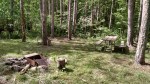
Creepy shelter in Watkins Glen 
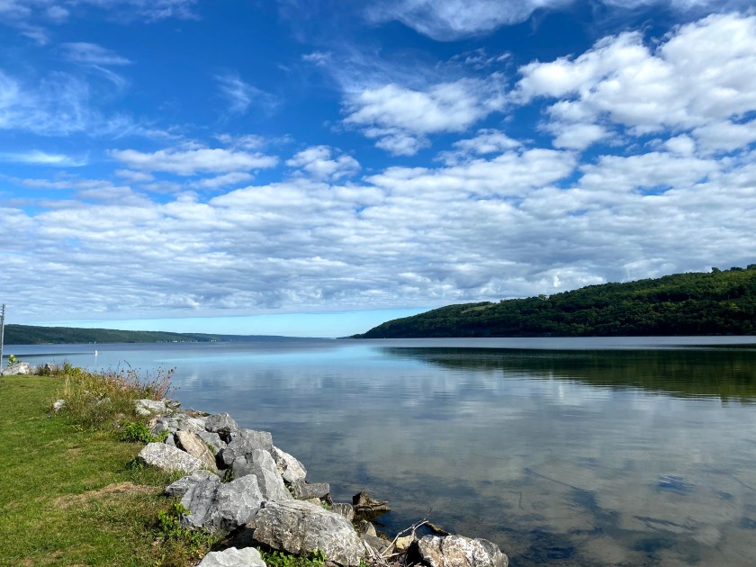
Punch Bowl Lake Dam 
Watkins Glen 
Watkins Glen 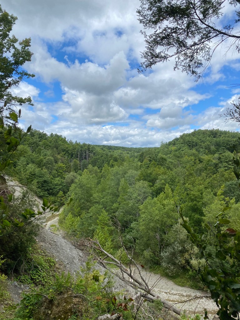
Watkins Glen 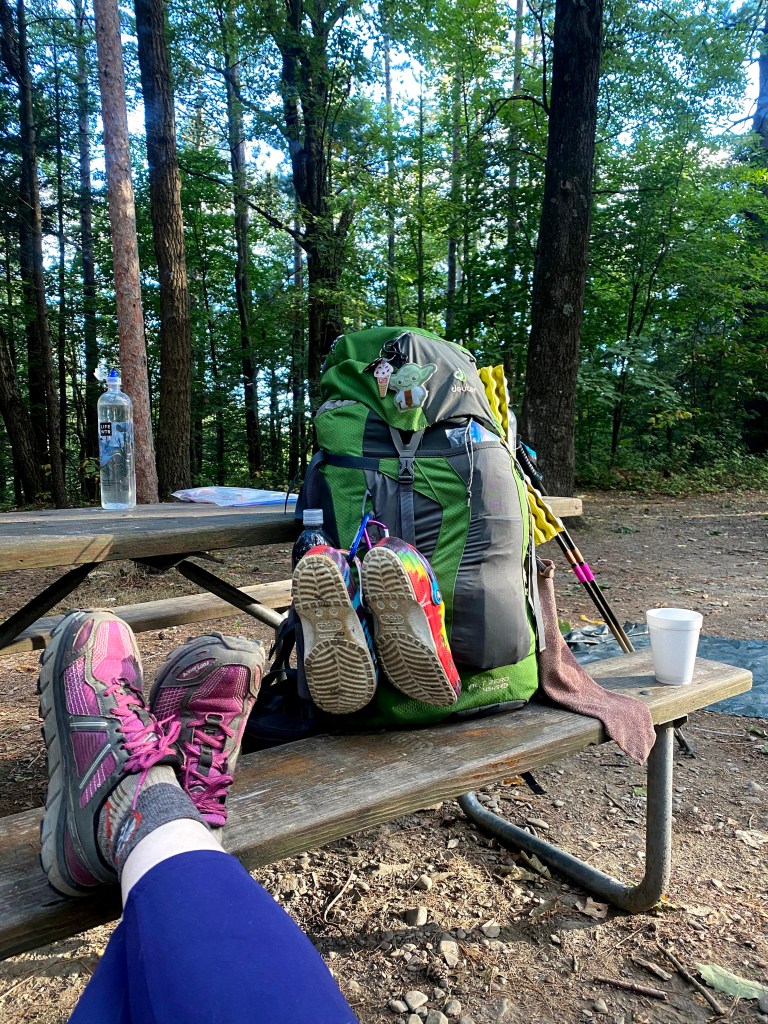
Got a shower at the campground. A nice neighbor gave us cups of coffee. 
Looking down at Watkins Glen
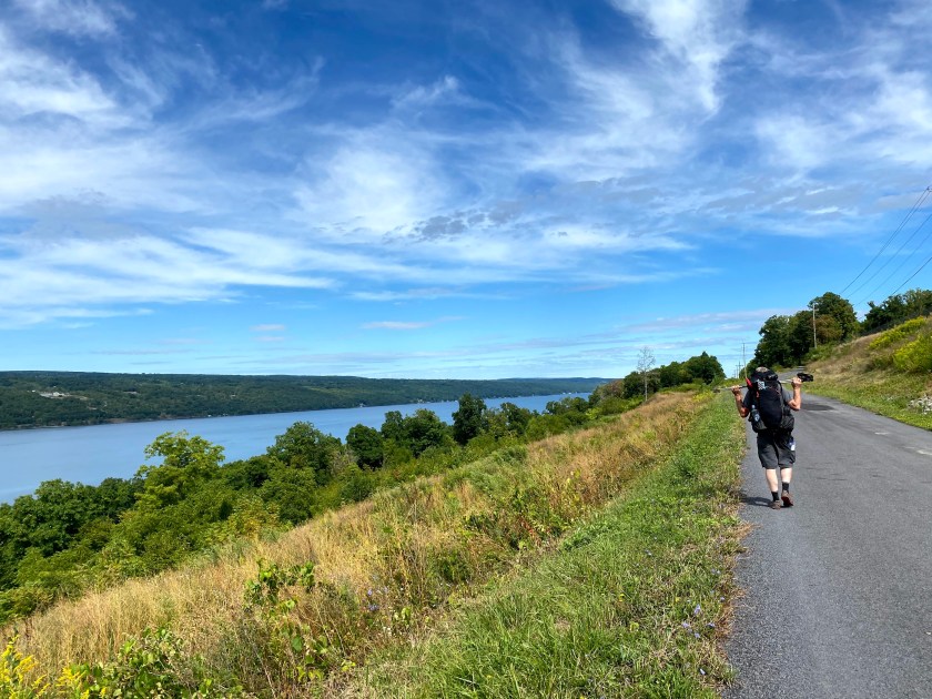
This section had some insane uphill road walks. We kept at it though and Jim fed me Jolly Ranchers to motivate me. I sang him songs to motivate him but I think that just made him hike faster to get away from me. So many road walks….

at least this one is flat, for now 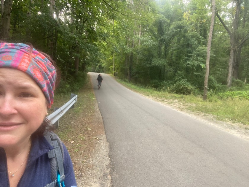
Jim didn’t like my singing. 
Jim contemplates his life choices. 
Still smiling somehow 
gorgeous views
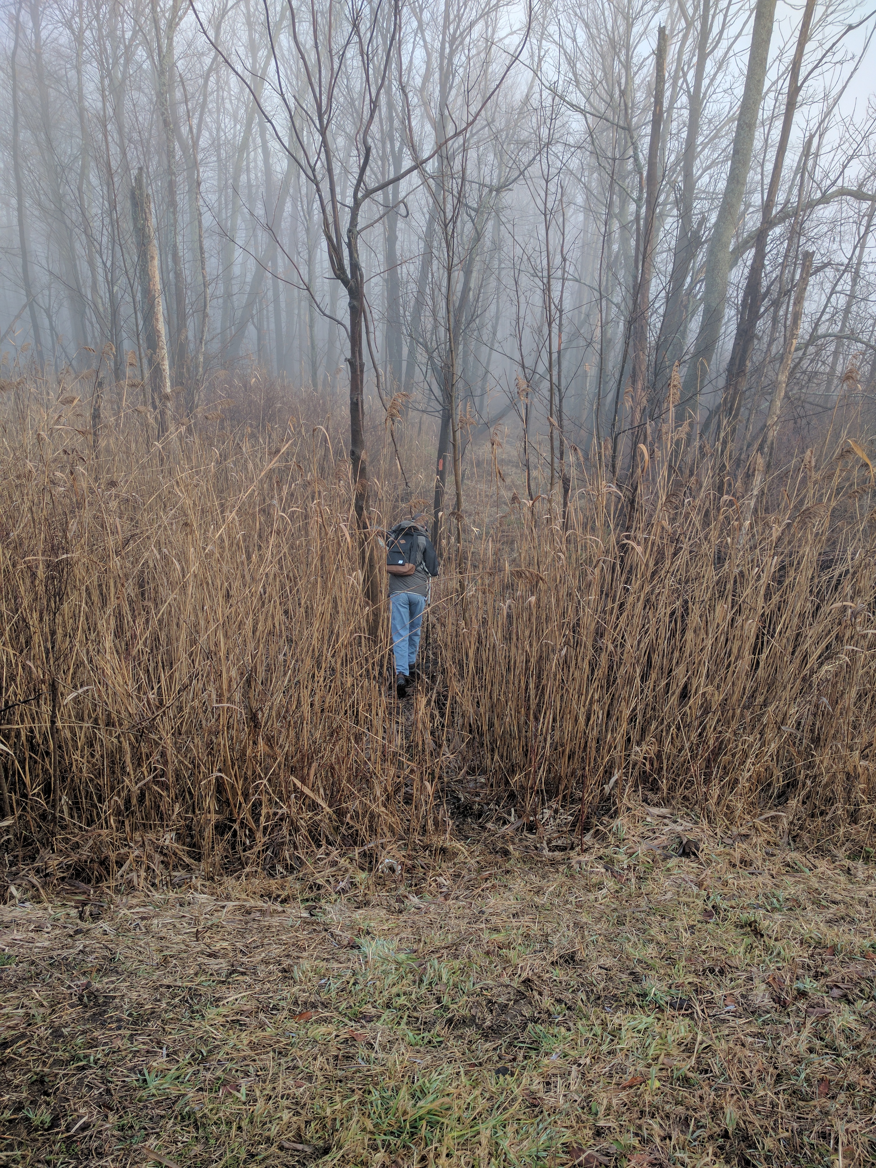
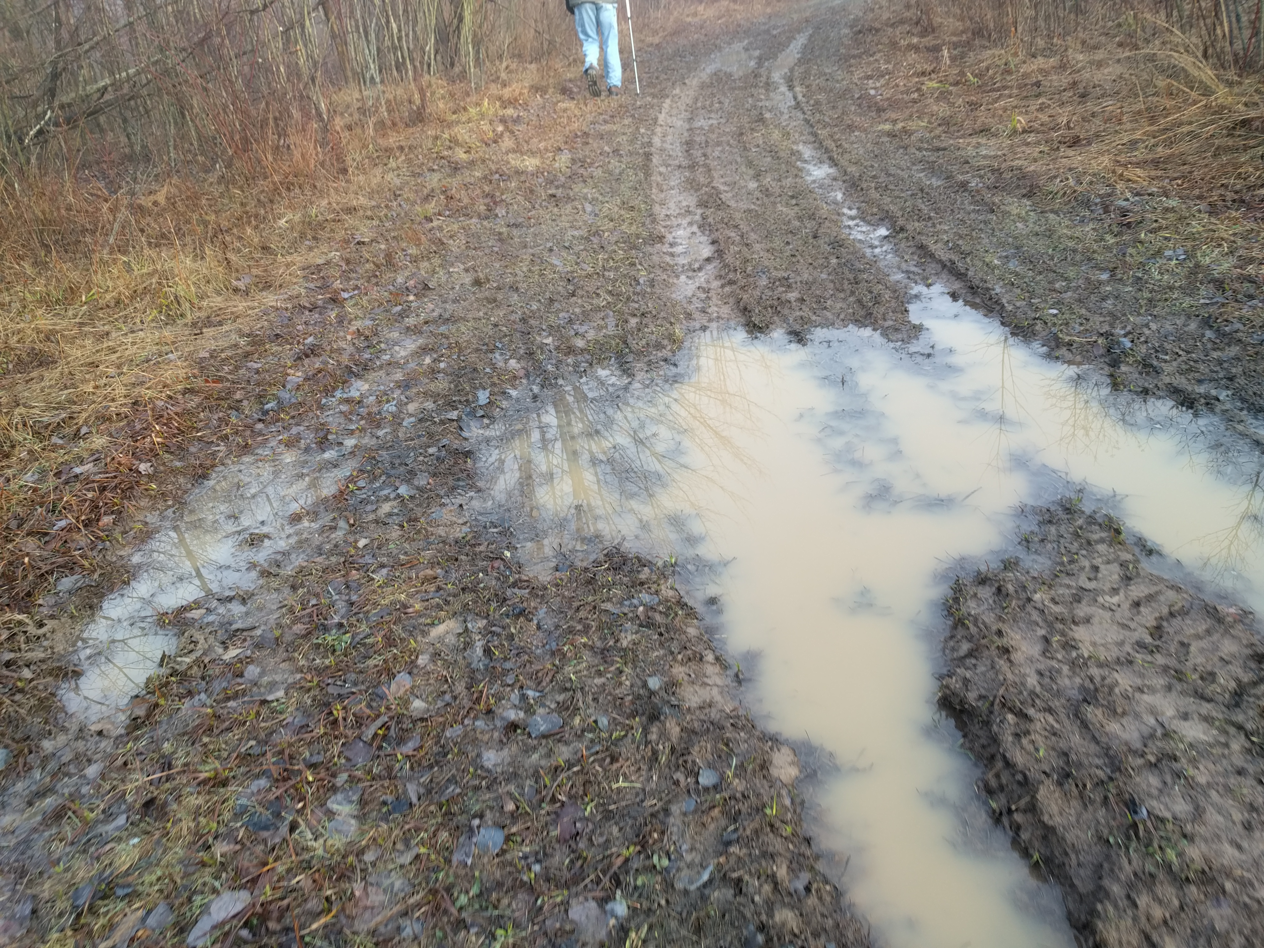
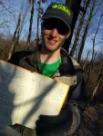
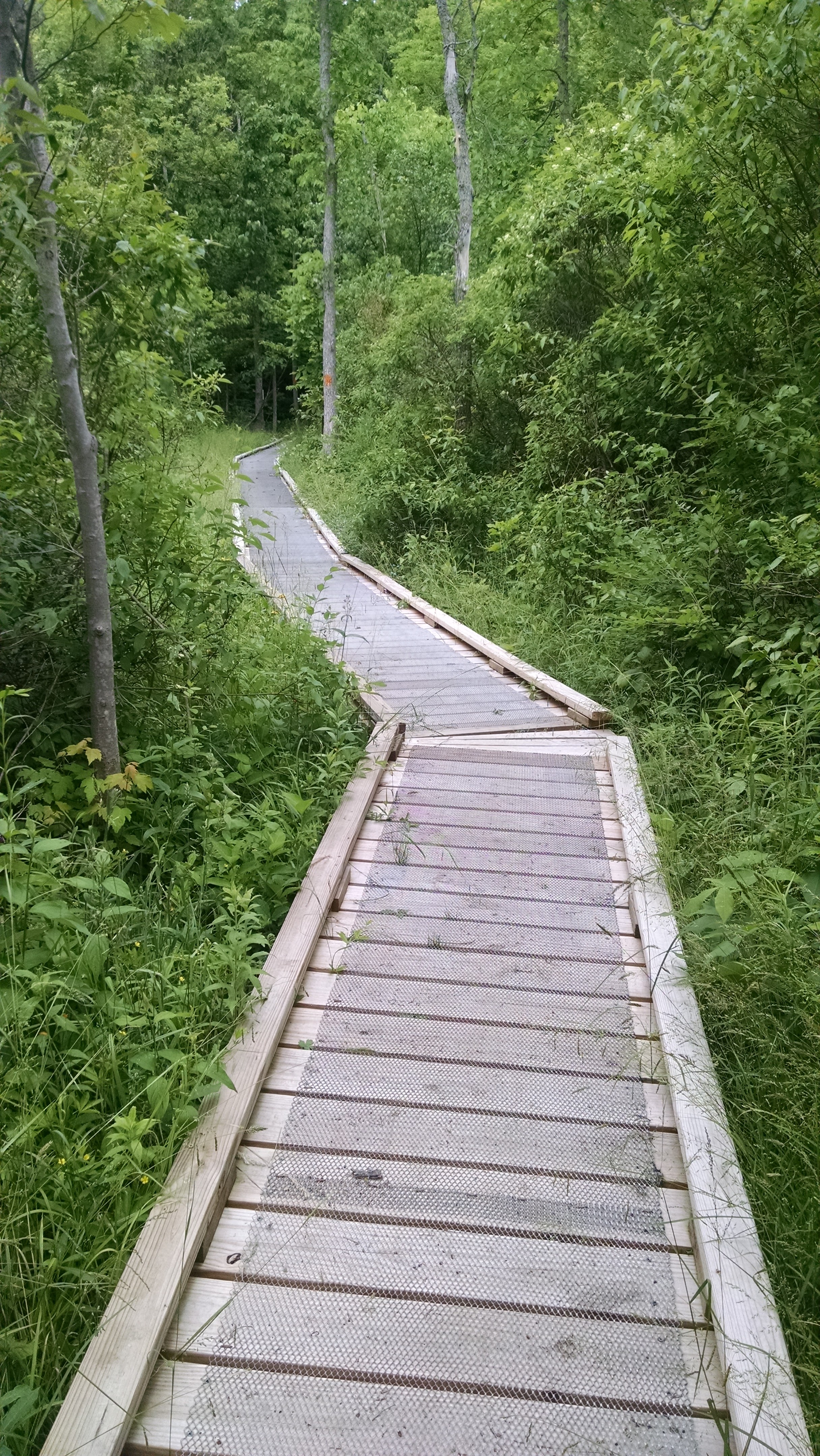
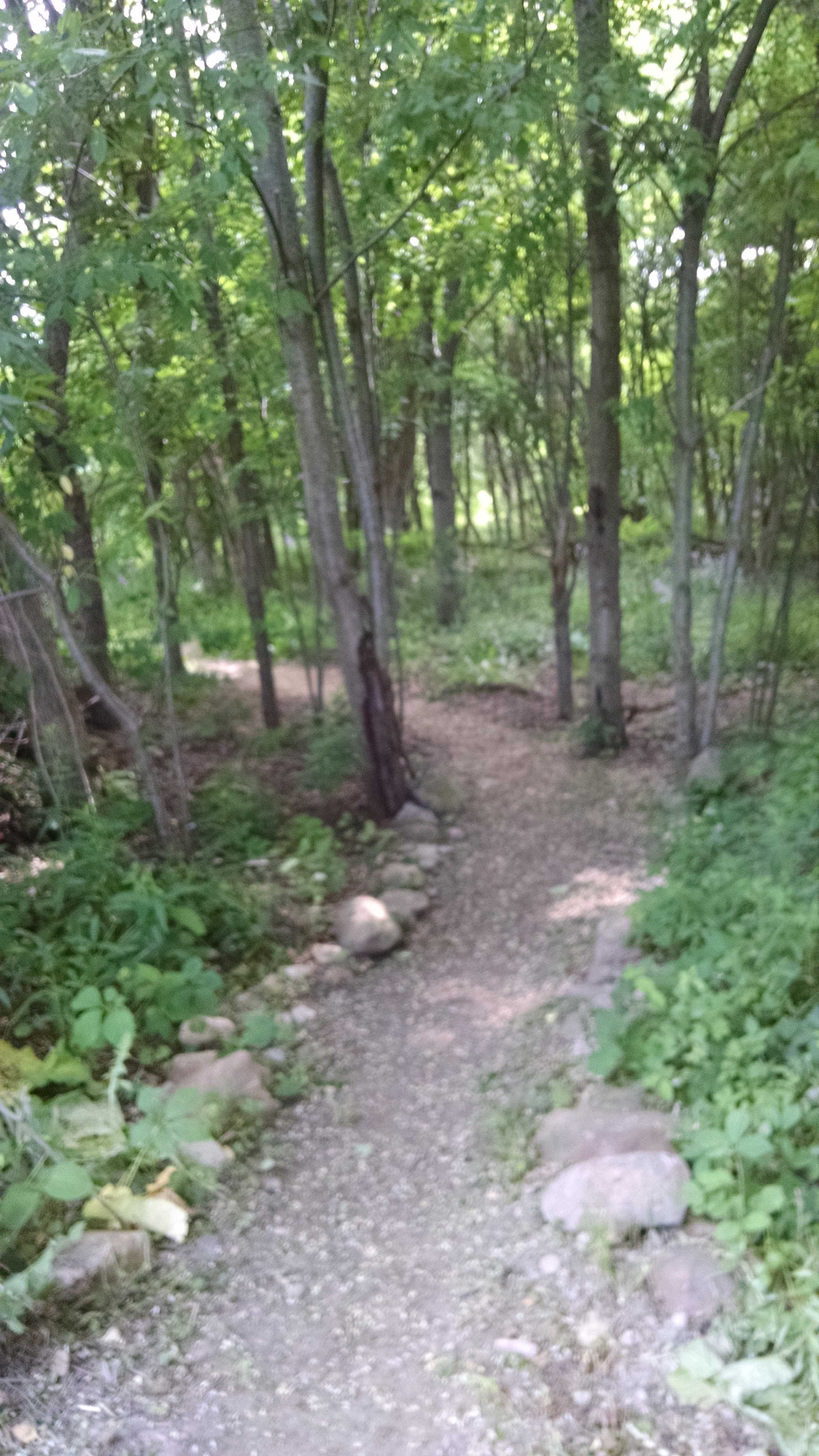
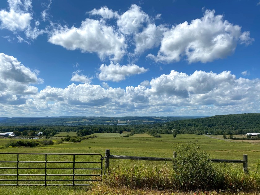
The trail was beautiful no matter where we were. Even the road walks took us past pastures of cows, hay fields, and views of the mountains around us. I highly recommend purchasing the FLT maps. There were times we didn’t think it provided enough information about water sources and bivouac sites, but they were helpful with some descriptions so we knew what to look forward to. Jim and I referred to the map a lot! Sometimes as a distraction from being out of breath or sometimes because we couldn’t find a turn. One section of trail would have blazes on every other tree and another section would be lacking blazes at crucial turns. Luckily we were never lost, just not exactly on the trail, haha!
I earned this view. 
My next fixer upper. 
Saw quite a few of these. 
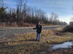
Trying to use our legs to attract a ride…didn’t work. 
Veterans Park 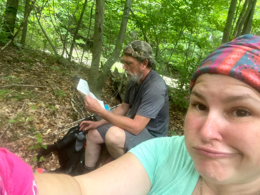
Looking at the map again. 
I earned this view. 
Don’t forget to stop and smell the flowers.
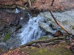
We made it to the resupply bear hang we left and were relieved that it was exactly as we left it. At this bivouac site there was a ravine that had a beautiful creek running through it. We took time here to wash up. I couldn’t remember the last time I went swimming in the creek, but now I can. The water was cold but so refreshing and it felt so good to be sort of clean! Unfortunately, the feeling of clean didn’t last long.


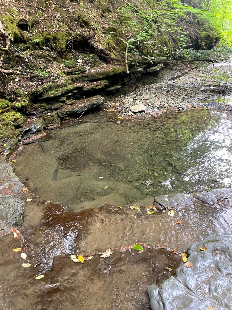
Perfect swimming hole. 
My personal spa.
We were glad to meet some super nice people on trail. One stand out is, Asha. She is 27 years old and is hiking 40 days on the FLT with no particular agenda. Her pack was bigger than she was! We spent a couple nights at the same campsites together, but she was faster than us. She said that her mentor was bringing her a resupply from Watkins Glen and we told her about the amazing donut we had. A day later as Jim and I were trudging on a snowmobile path (instead of the correct FLT path) we heard our names being called. We bushwhacked to the actual trail and found Asha walking toward us with a paper bag. Yes, she asked her mentor to bring us apple donuts and Asha had waited for us to pass by so she could give them to us. It was a definite highlight of our trip!


After a couple really long days, Jim and I revamped our mileage for the last few days of our trip. Jim had factored in a “zero day” mid week. A zero day is when you don’t hike at all that day. We were just going to stay at the camp and rest, but we took that day and hiked six miles to the next shelter in order to have smaller mileage days until we finished. It is so important to be flexible with your plans. I am so glad we did it this way and I think Jim was too. We had less stress and we were able to get to our campsites earlier in the afternoon each day so we could take a nap, get cleaned up, do laundry, filter water and relax.

Jim carried a lot of water for us. 
Laundry day. Airing out the stink. 
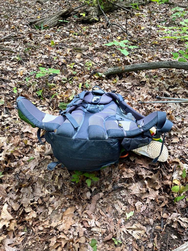
Pack explosion 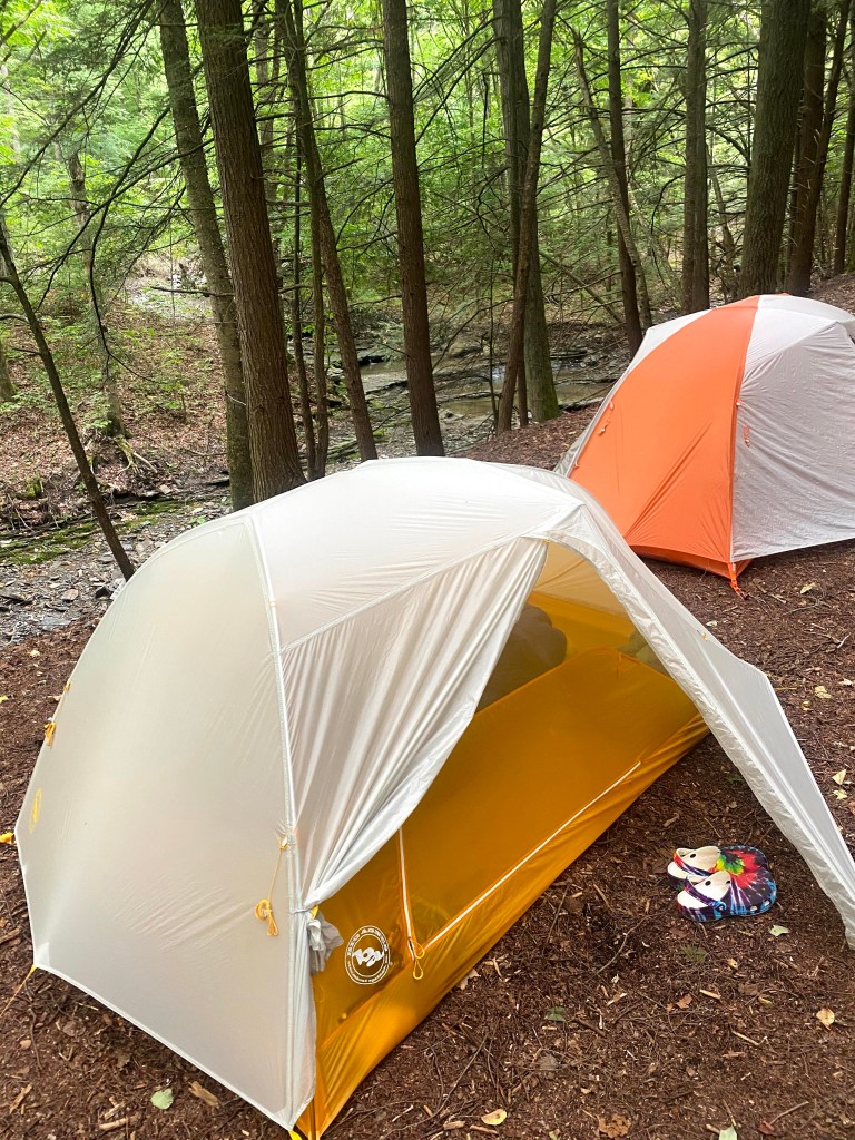
Love the pine bed.
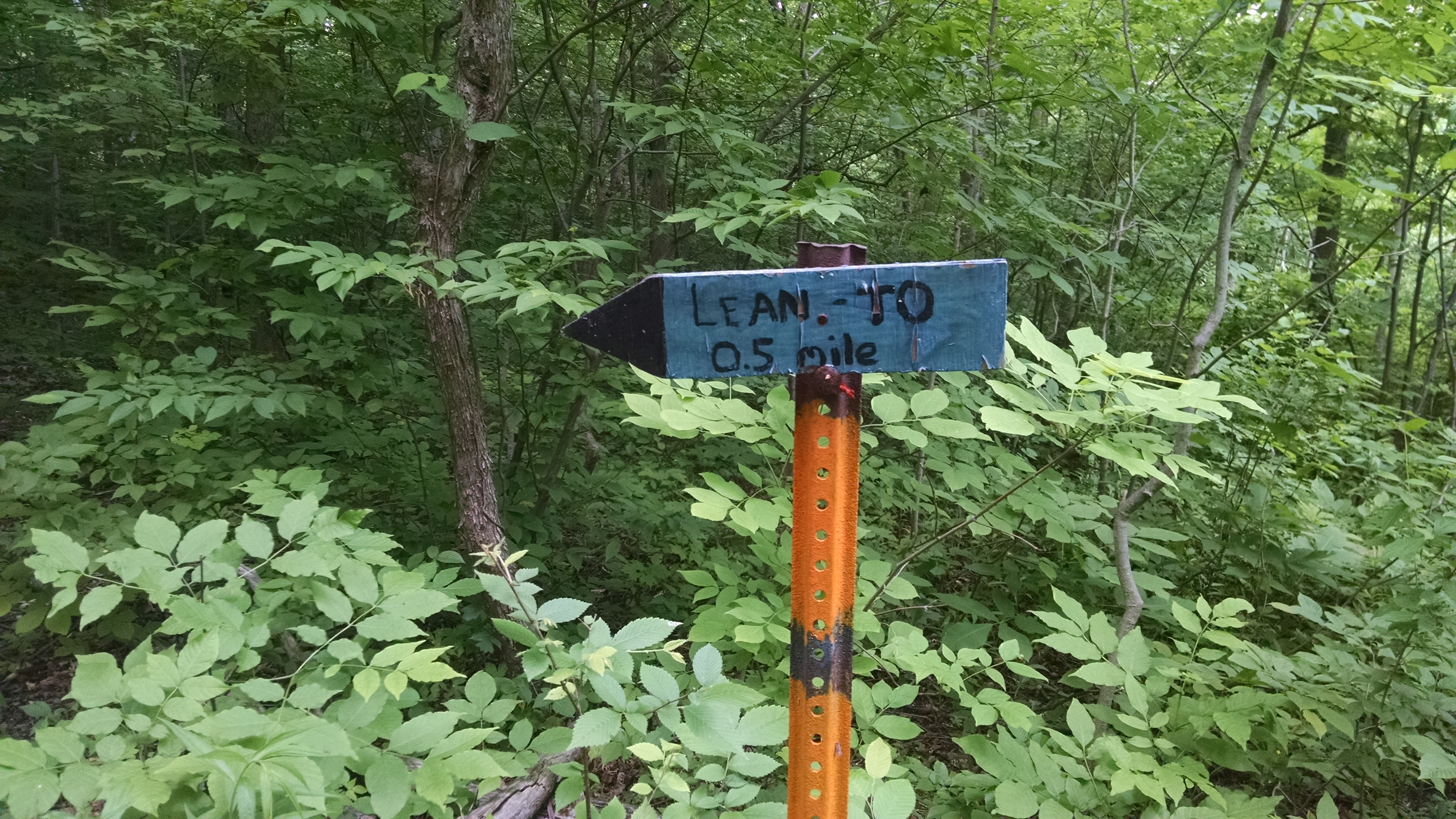
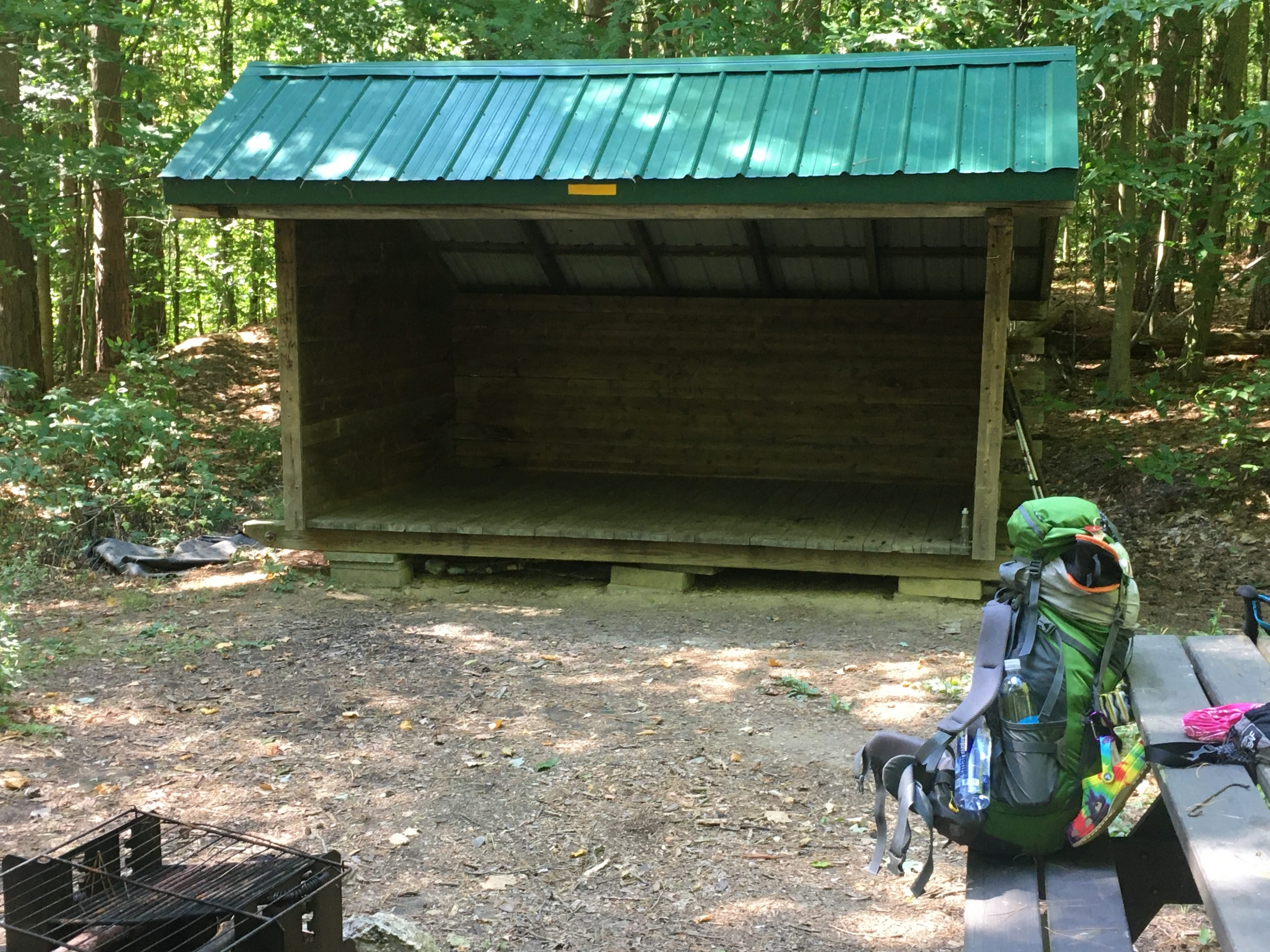
One of favorite days on trail was our last full day. We hiked up to the Locust Lean To which is just before Robert Treman State Park. This shelter is new and has a solar charger for your devices. It also has incredible views! We met some other campers here and enjoyed the company. We were able to set up our tents to overlook the view so we could see the sun rise from our tents. It was amazing.

Open air privy. It was so tall I could barely reach it! LOL! 

Solar charger. 

View from the loo. 
The white flower field is Buckwheat. 
Last fire. 
Dusk 
Mr. Moon keeping me up with his bright shining light. 
Moon from my tent. 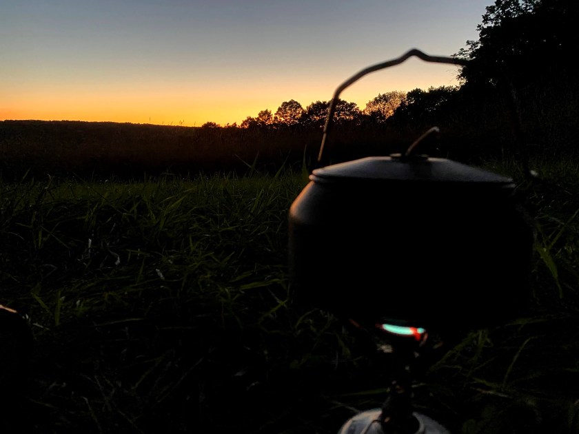
First light. First cup of tea. 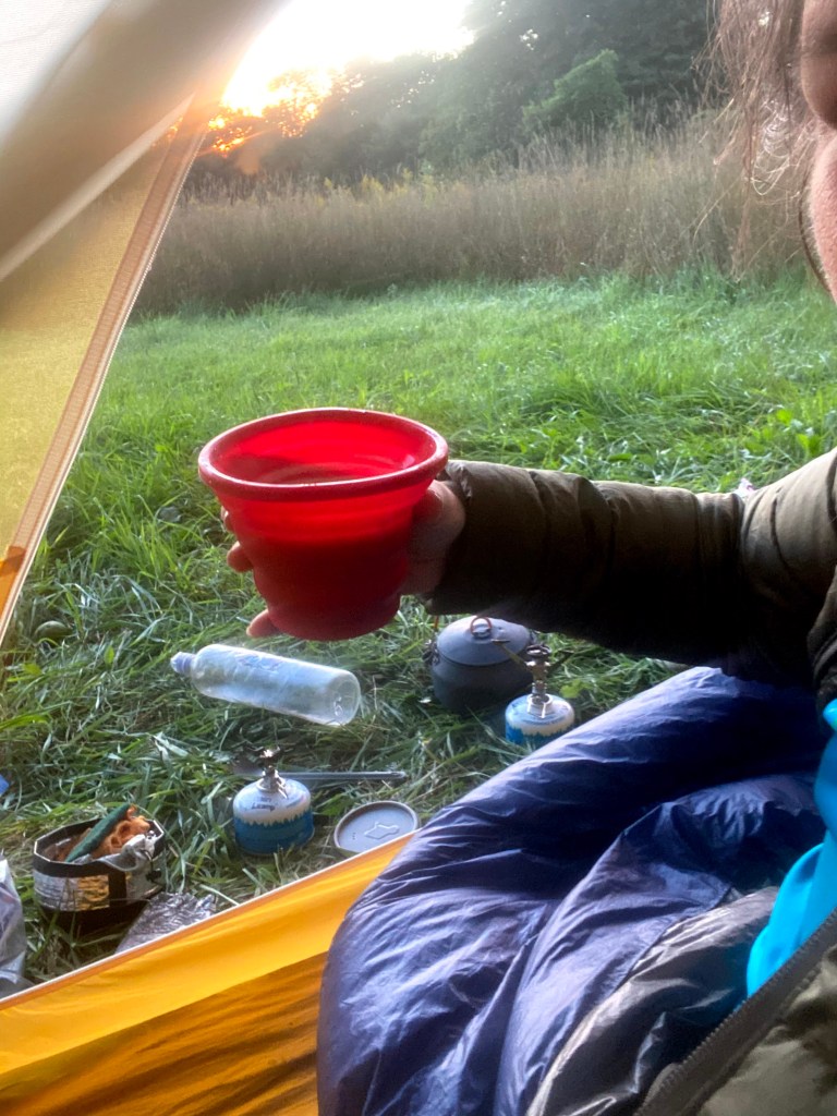
Breakfast! 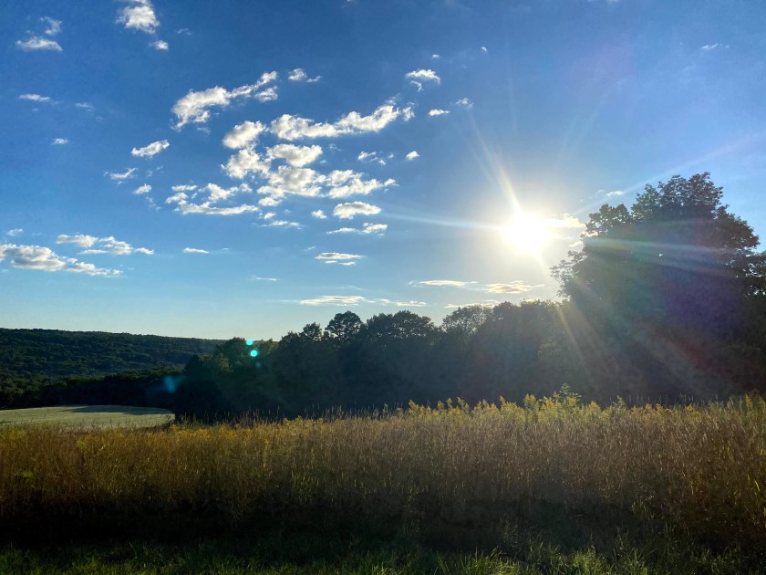
So beautiful.
Our last day was about six miles through Robert Treman State Park. It was mostly down hill. As we got closer to the park we saw more and more people. We made it to the Sierra Shelter and had a little snack here then walked the one mile left to my car. We then had to drive to the beginning at Sugar Hill State Forest to get Jim’s truck.
If I could do anything over again, I would bring a notebook to write memories down. I don’t like using my phone to keep notes. I would also take more baby wipes and whiskey. You know, the important things…
Bonus pictures of random things on the trail.

Wish I had a horse 
show me the way…. 
Needs some TLC like me 
hardwork went into building this 
So glad I don’t have allergies 

Just the essentials. 
No idea what’s happening here 
trail register 
I guess I was in the Texas Hollow State Forest. 
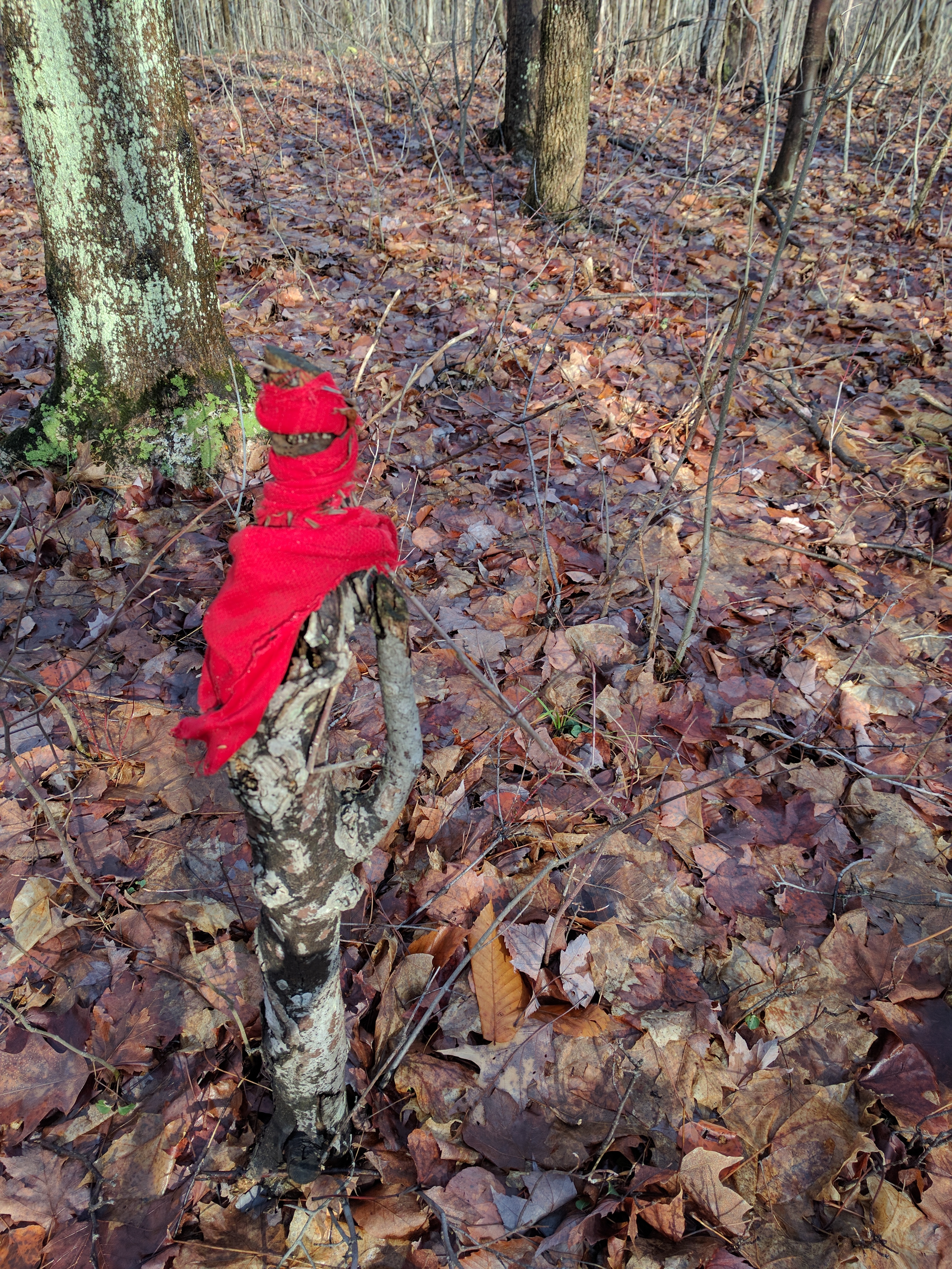
unidentified 
interesting log for the fire 
We signed all the registers 
small log cabin with tiny door and no roof 
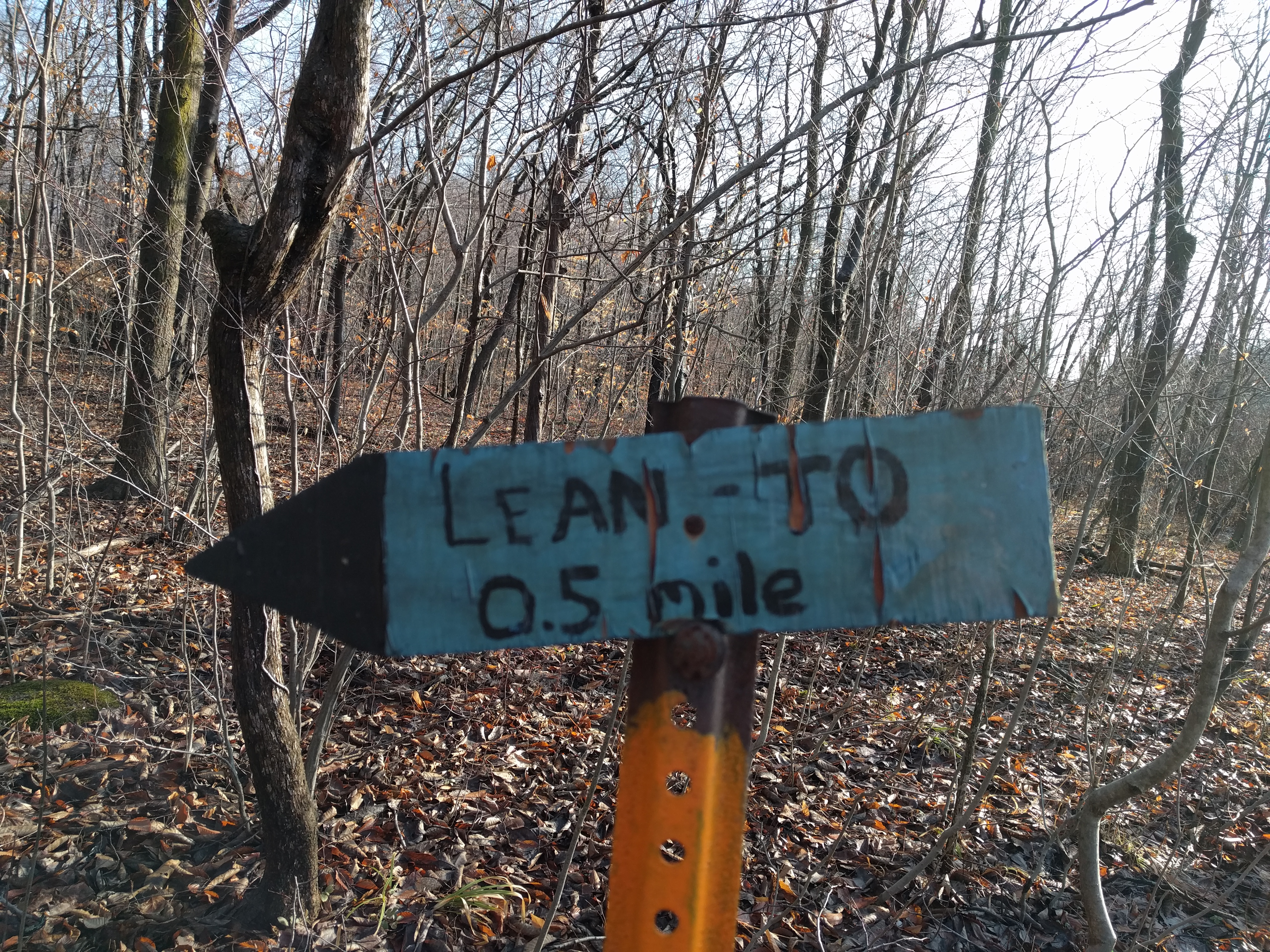
Not enough signs 
Tree eating a sign 
Geocache head stone 
ammo can for the geocache 
Buck Settlement Cemetery 
I was able to get four FLT Passport rubbings.
All Done.
For Now.