Lately I have been reminiscing about the events of the past year. Specifically, my postponed Appalachian Trail thru hike attempt. A year ago I was depressed that the pandemic had sidelined me but then I decided to complete the Western New York Summer Hiking Challenge as fast as I could. Last year, I was so angry about losing my six month hike that I completed all the trails necessary for the challenge within a couple weeks and I was the first challenger to finish all the trails. I hiked away the anger and most of the depression.
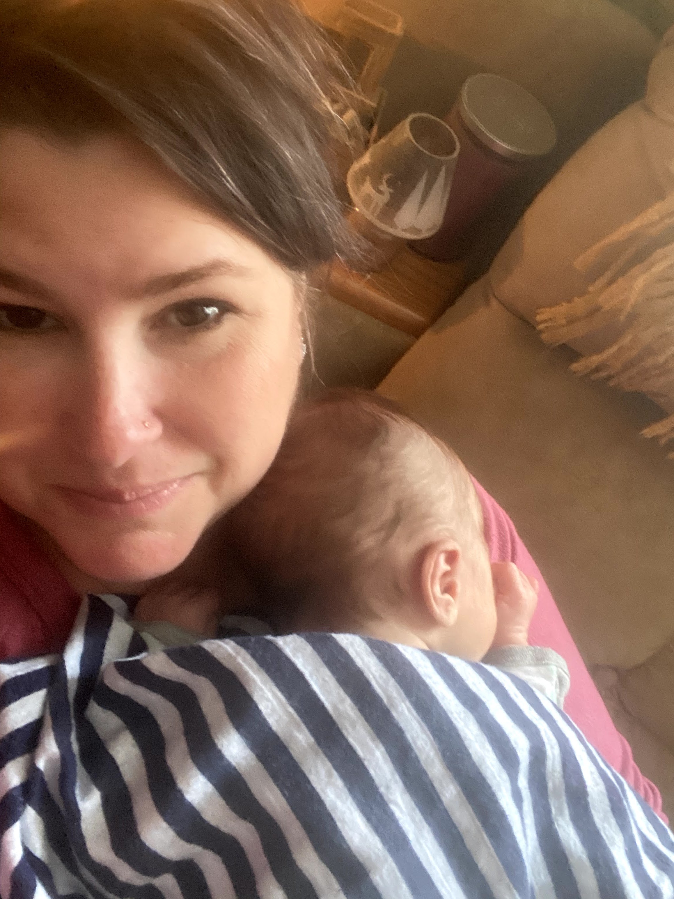
This year, my thru hike was postponed again. Not by the pandemic but by a beautiful new grandson born on March 3rd. He’s the light of my eye and I could never leave him for six months when he is so little. My son and his wife appreciate me being available to help with him, too. So, here I am again another Spring watching hikers leave to begin their thru hike journeys. I must say I am not angry or depressed this year at all. I know my time will come.
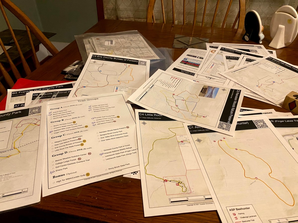
In the short term there are other trails to hike! Again this year Outside Chronicles put together a Western New York Hiking Challenge. Being first to finish the challenge last year was exciting for me. It gave me a goal and a purpose and bragging rights. This year, I had to retain my crown. Signing up for the challenge costs $20 for an individual (you can even register your pet!) and you get a packet of maps and thorough instructions. In order to complete the challenge you must complete 20 out of 32 trails. There are four sections of Western New York with 8 trails in each section. You must complete five trails out of each section. On each trail there is a landmark where you take a selfie to submit to the challenge website in order for the trail to be marked completed. When you finish the challenge you will receive a patch and sticker. Outside Chronicles also donates all profits to different causes. The Winter Challenge raised $36,000 which was donated to Beaver Meadow Audubon Center.

This new Western New York Hiking Challenge will directly benefit the Finger Lakes Trail Conference and the Western New York Land Conservancy. Definitely check out the links above for further information.
The WNY Hiking Challenge started on March 21 and runs until November 19, 2021. So, on Sunday, March 21 I began my first to finish attempt. Now, I really didn’t know if anyone else was even trying to finish first, I just knew that there were A LOT more challengers this year than last year. So, I decided I would try to hike five hikes a day for four days. In a row. I never thought of myself as competitive, but apparently I am as soon as I put on my hiking shoes.
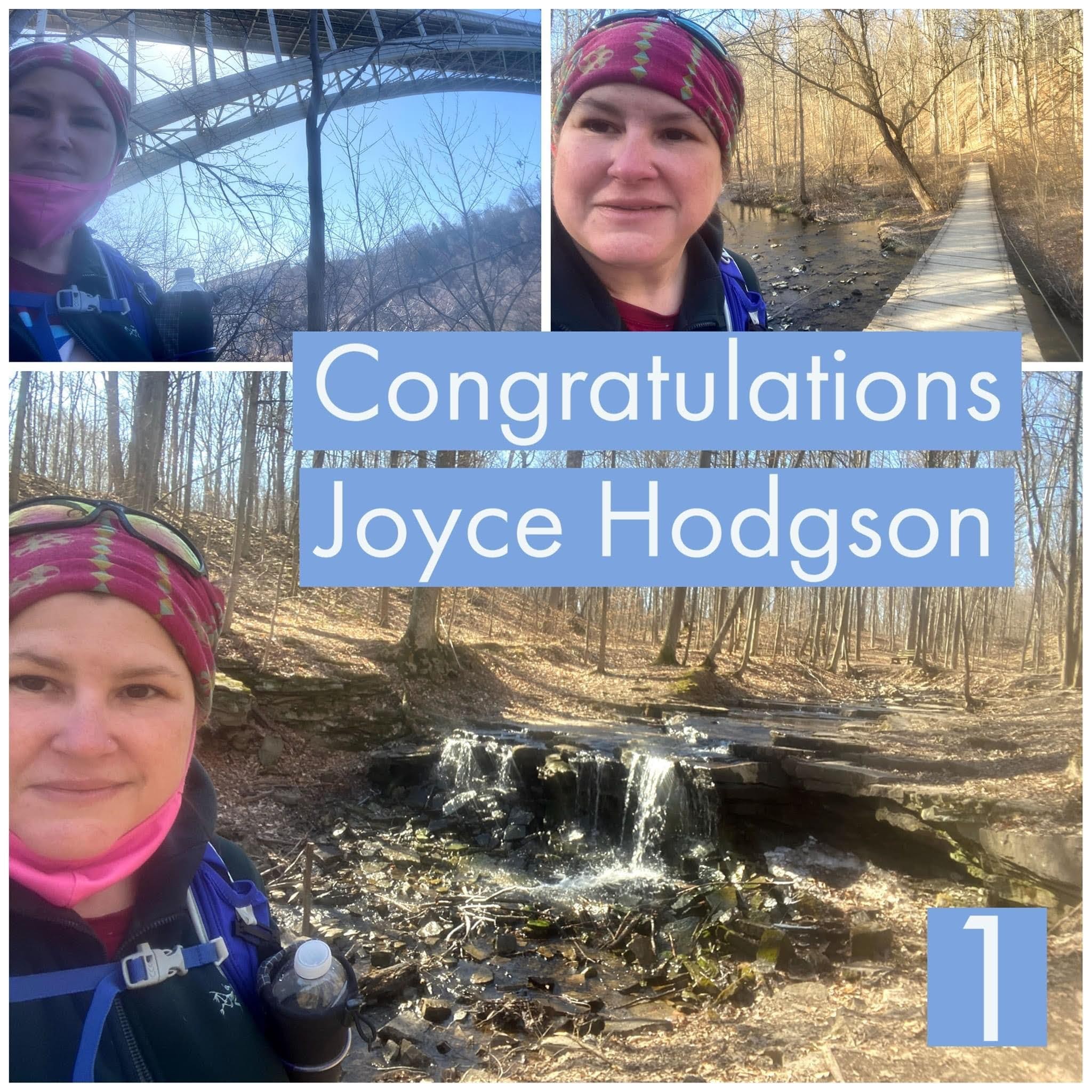
Sunday, March 21, 2021
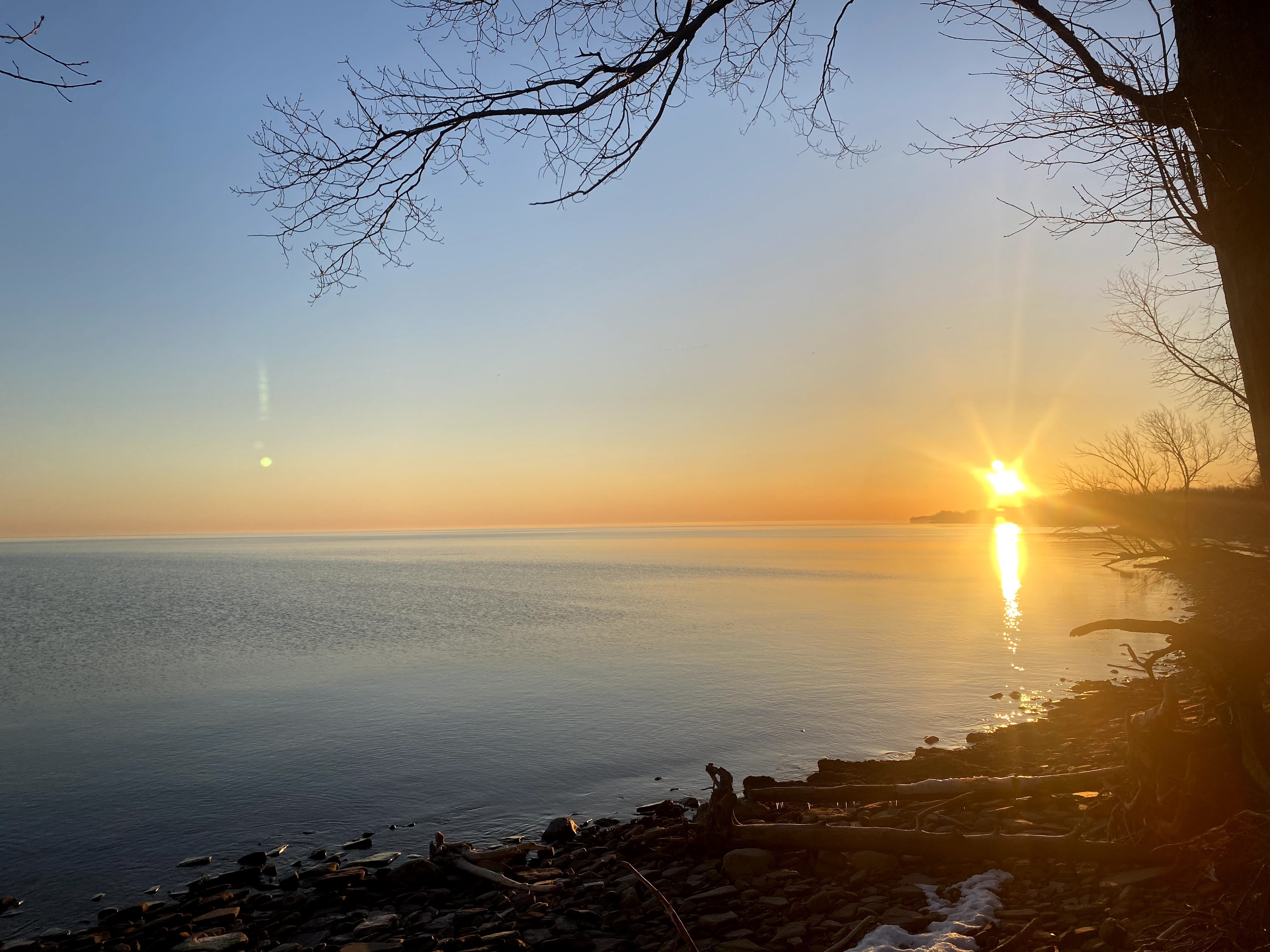
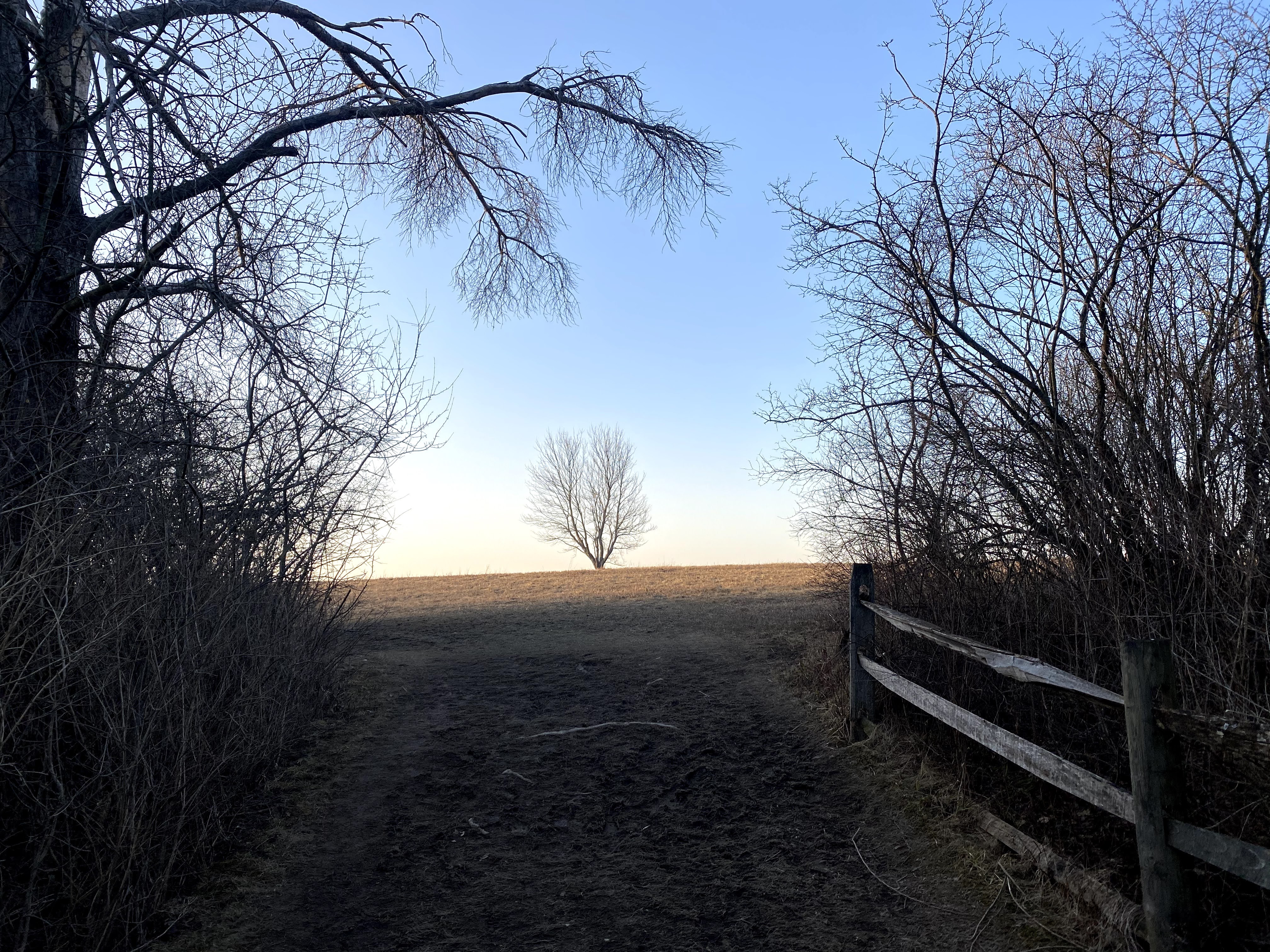
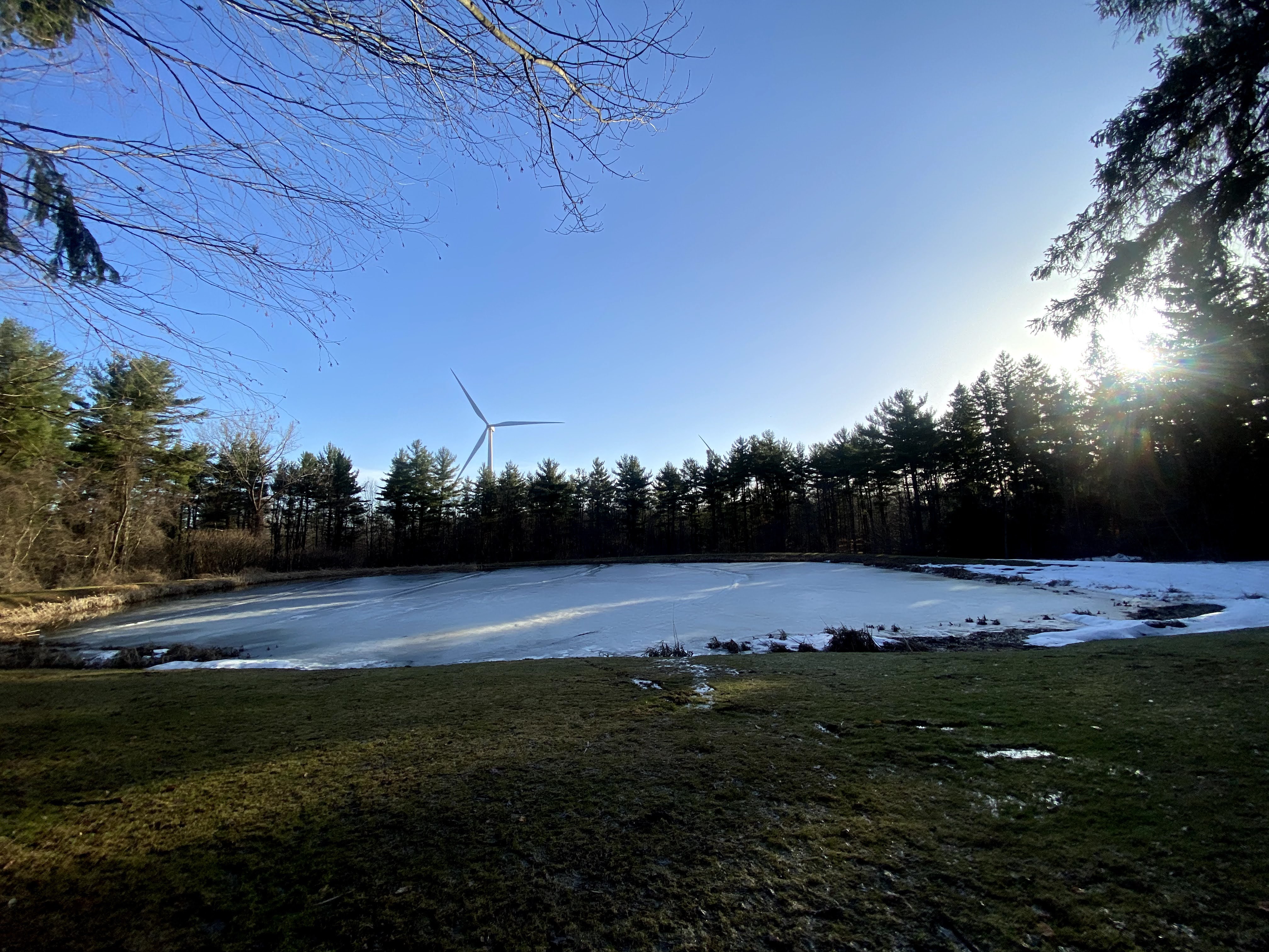
I wanted a grand start so I began my journey in the dark and drove to Golden Hill State Park to see the sunrise. It did not disappoint!


Royalton Ravines was next.


Next up Lockport Nature Trail, Bond Lake and Art Park.

Then I still had a little bit of adrenaline so I went to Tifft Farm.


It was cool how I started the day at Lake Ontario and ended at Lake Erie.
15.3 miles.
I went home, had a hot bath, put bio freeze on my legs and slept like a log.
Monday, March 22, 2021
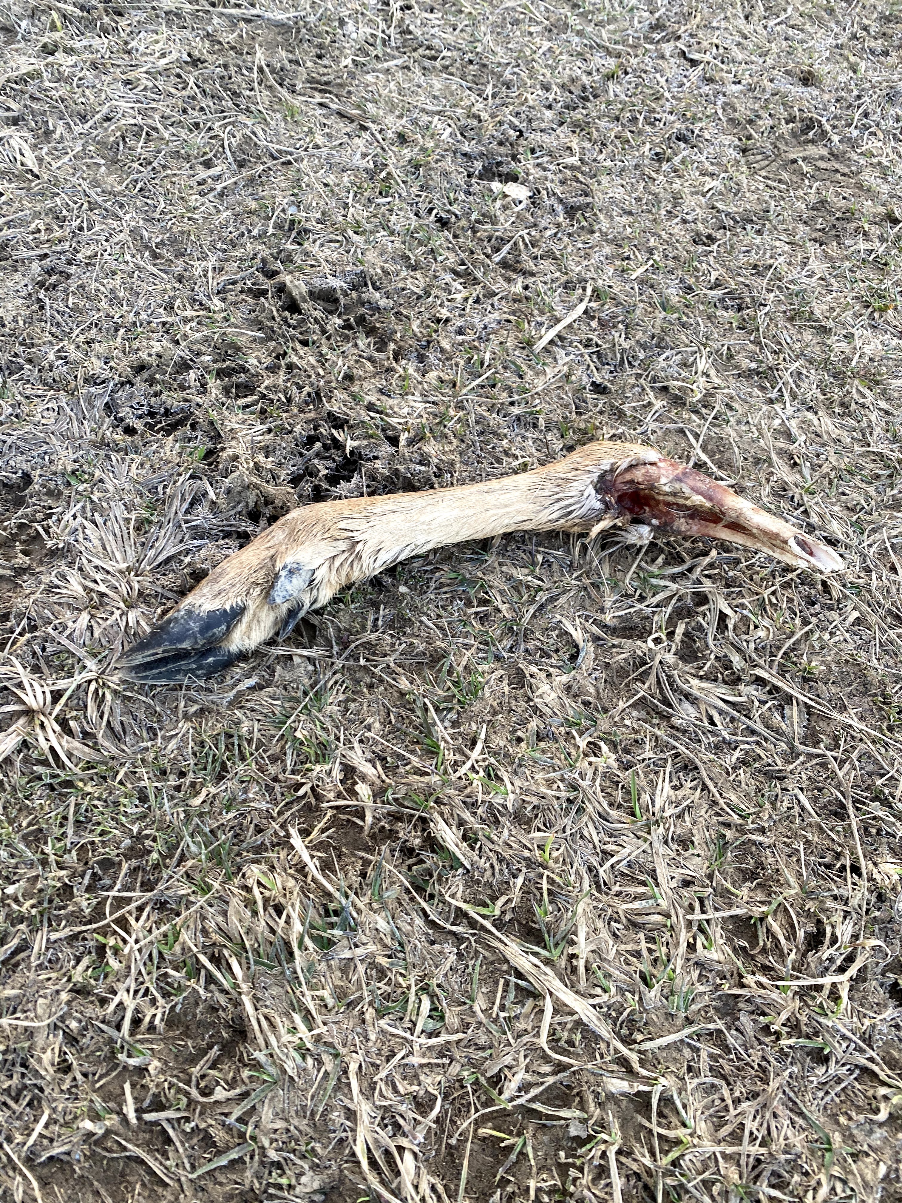
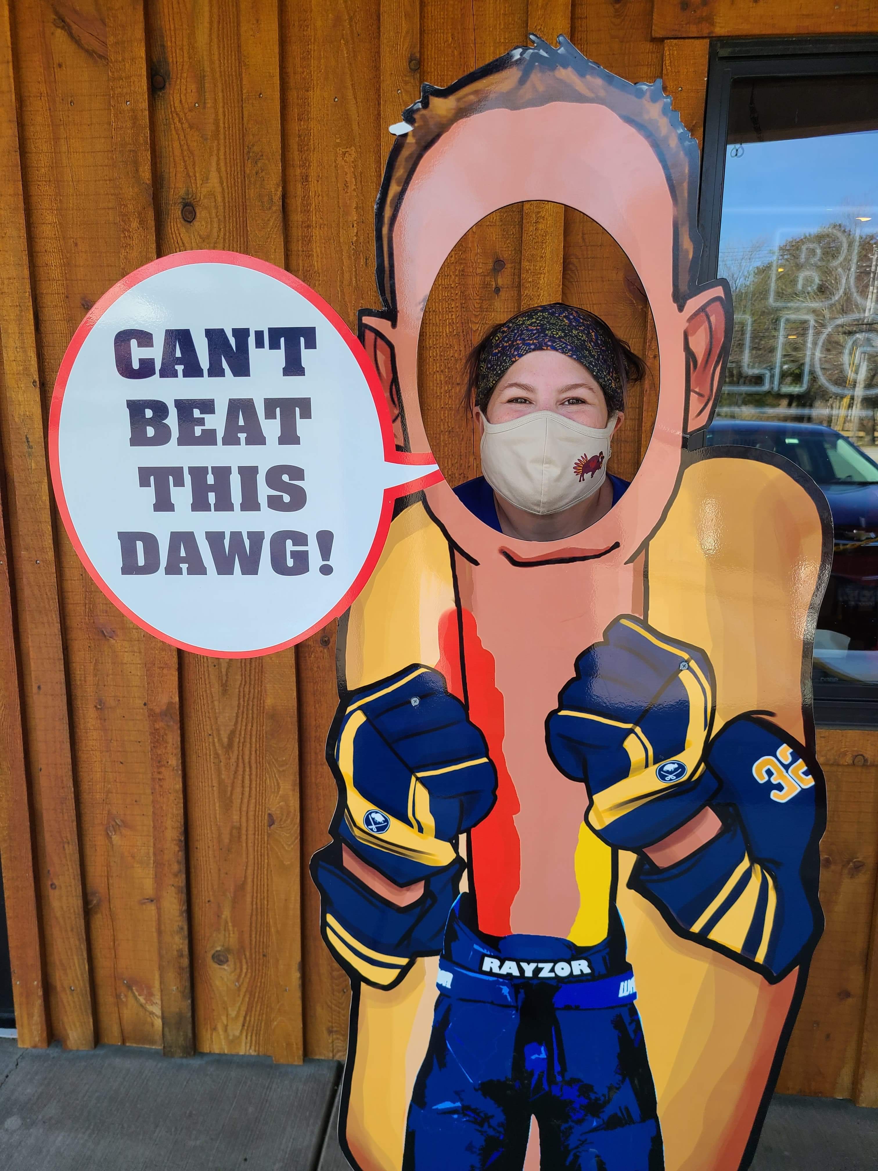
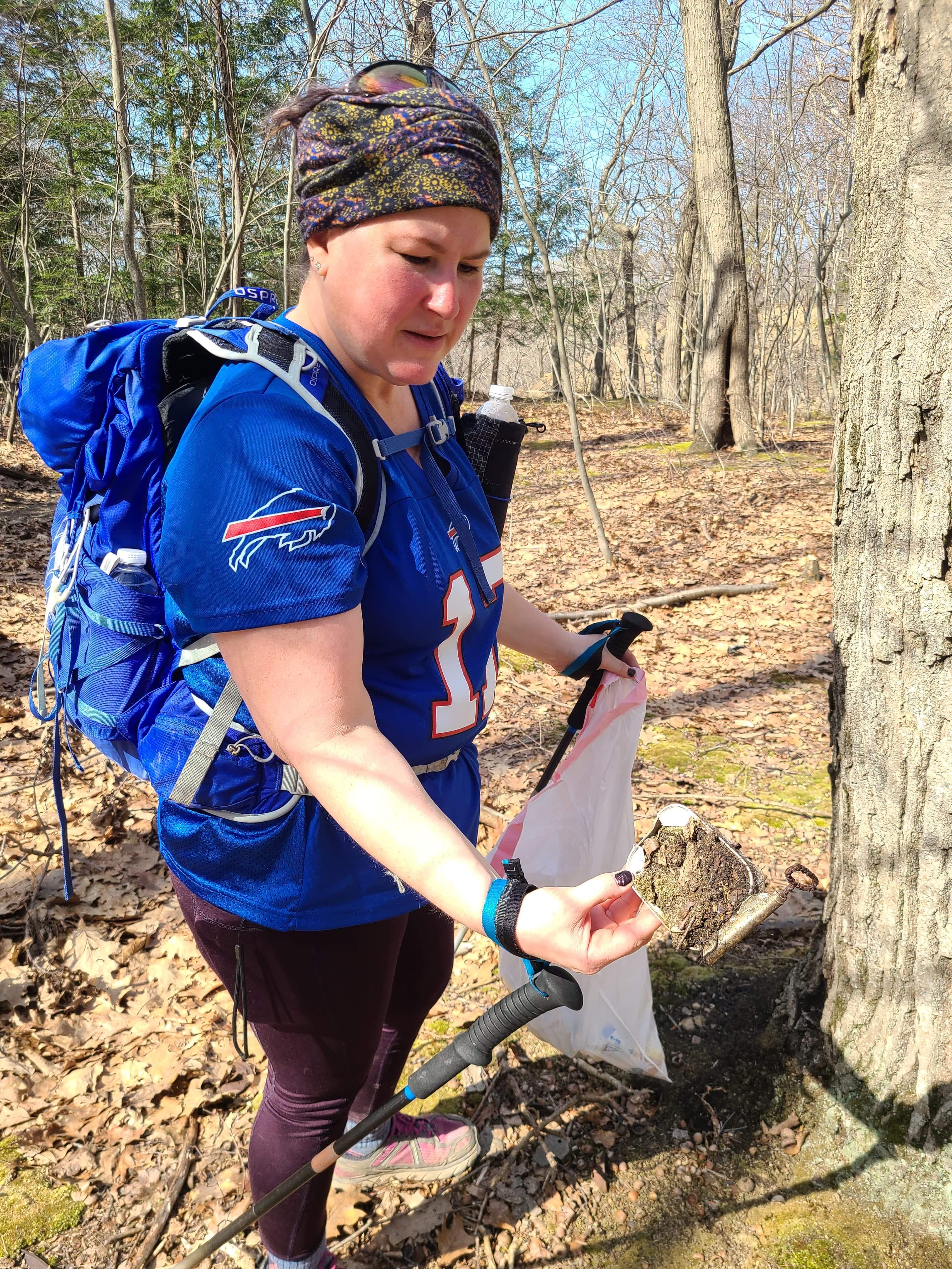
I woke up before dawn again and saw the sunrise at Knox Farm State Park. I have been here many times so I took trails and turns that I haven’t done in the past. I found a deer leg and I used a stick to push it into the brush so an innocent child wouldn’t see it, then I decided to put it right here in my pictures. hahaha! Then I drove to Emery Park and enjoyed the waterfalls there. This was a beautiful hike. After, I met my friend Barb at 18 Mile Creek where we picked up trash including a poopy waterlogged diaper. Gross. Then Barb joined me at Franklin Gulf, too. I have to add that it was wonderful weather. Cold in the morning, but by the afternoon I was in short sleeves. We stopped at Rayzor’s Dawg House in Eden for a bite to eat. Highly recommend!


As I was driving home I realized there was still some daylight left so I visited Iroquois National Wildlife Refuge. It was sunset and so peaceful. It was a wonderful way to end the day.

16.1 miles
I went home, had a hot bath, put Biofreeze on my legs and slept like a log.
Tuesday, March 23, 2021
I woke up again in the dark trying to get to Sprague Brook mound before sunrise. I missed the best part by a few minutes. I absolutely loved this hike. There was a lot of snow still on the trails. I realize now I didn’t take very many pictures because I was cold and tired this morning.


This day was a big driving day. I think I put 150 miles on my car or something outrageous like that. The next park was Chestnut Ridge. I love this hike. There were some sketchy sections with ice and snow still covering some of the narrow paths on the ravines. One false move and splat. Hiking solo I tend to talk to myself sometimes. As I was tediously picking each step on the ice I repeated to myself, “You are brave. You are careful. You will not fall. You will be okay.” It helps me to say positive things to myself when I am worried.

Then I drove all the way over to Genesee County Forest. What a beautiful back country drive.

Then I met my friend Barb again at Beaver Meadow Audubon Center. We explored trails and found a dead deer right off the trail. RIP.


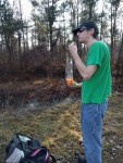
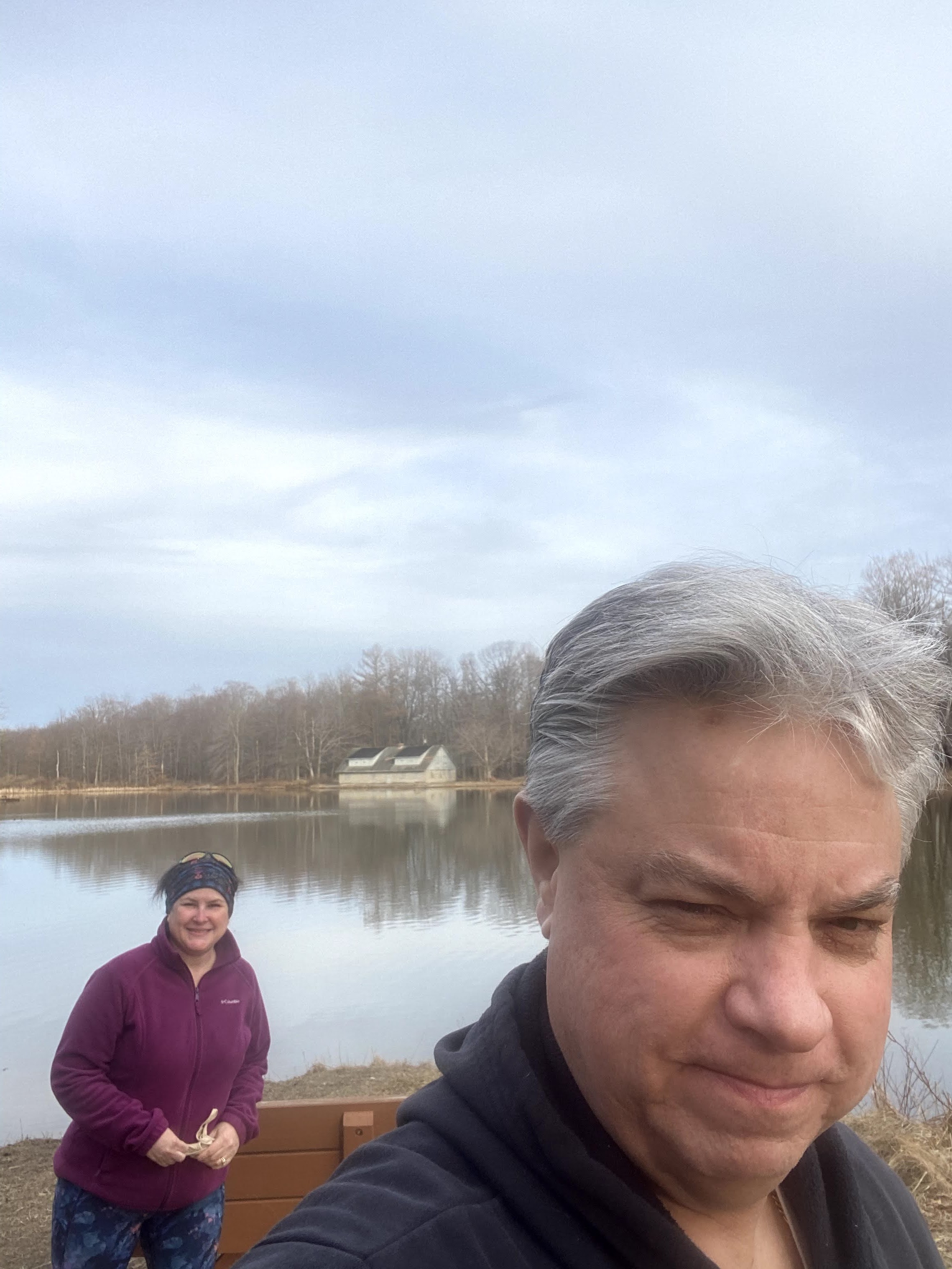
I met my husband at the house around 5:30 and we scooted over to Reinstein Woods Nature Preserve. He likes to hike the more level trails with me.

16.3 miles
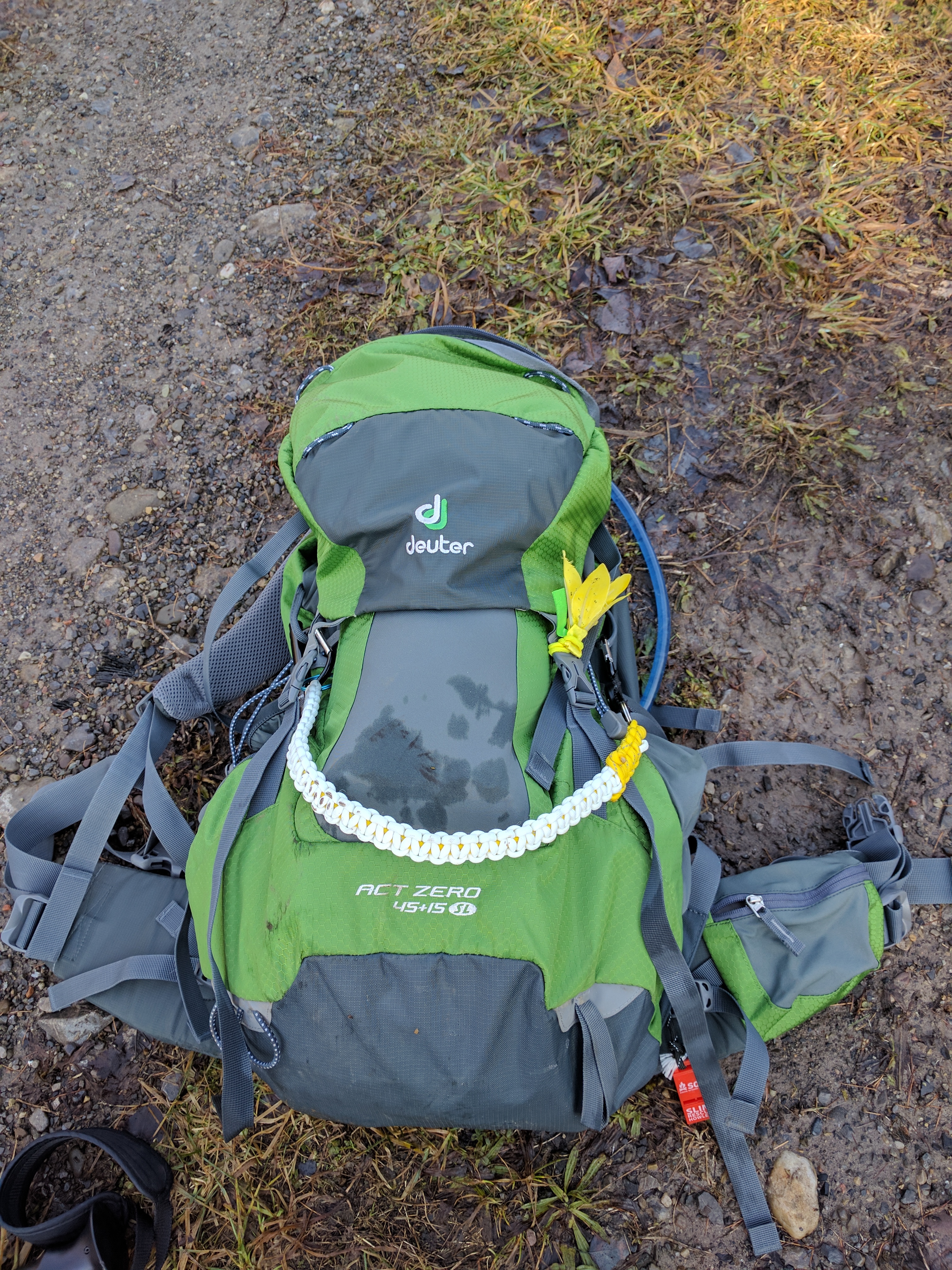
Once I was home I went into overdrive. Wednesday would be my last day. I planned it out that I would spend the night at Eastside Overland Trail to end my challenge hikes. All my backpacking gear is organized, so it only took about an hour to make sure my backpack was ready. I took a hot bath and applied the Biofreeze. When I woke up my phone had a message from my son. My grandson had kept them both up again and they were desperate for some sleep and asked if I could help. I couldn’t say no. I spent the entire day Wednesday being the best Nana I could be. I didn’t miss the trail at all!
Thursday, March 25, 2021
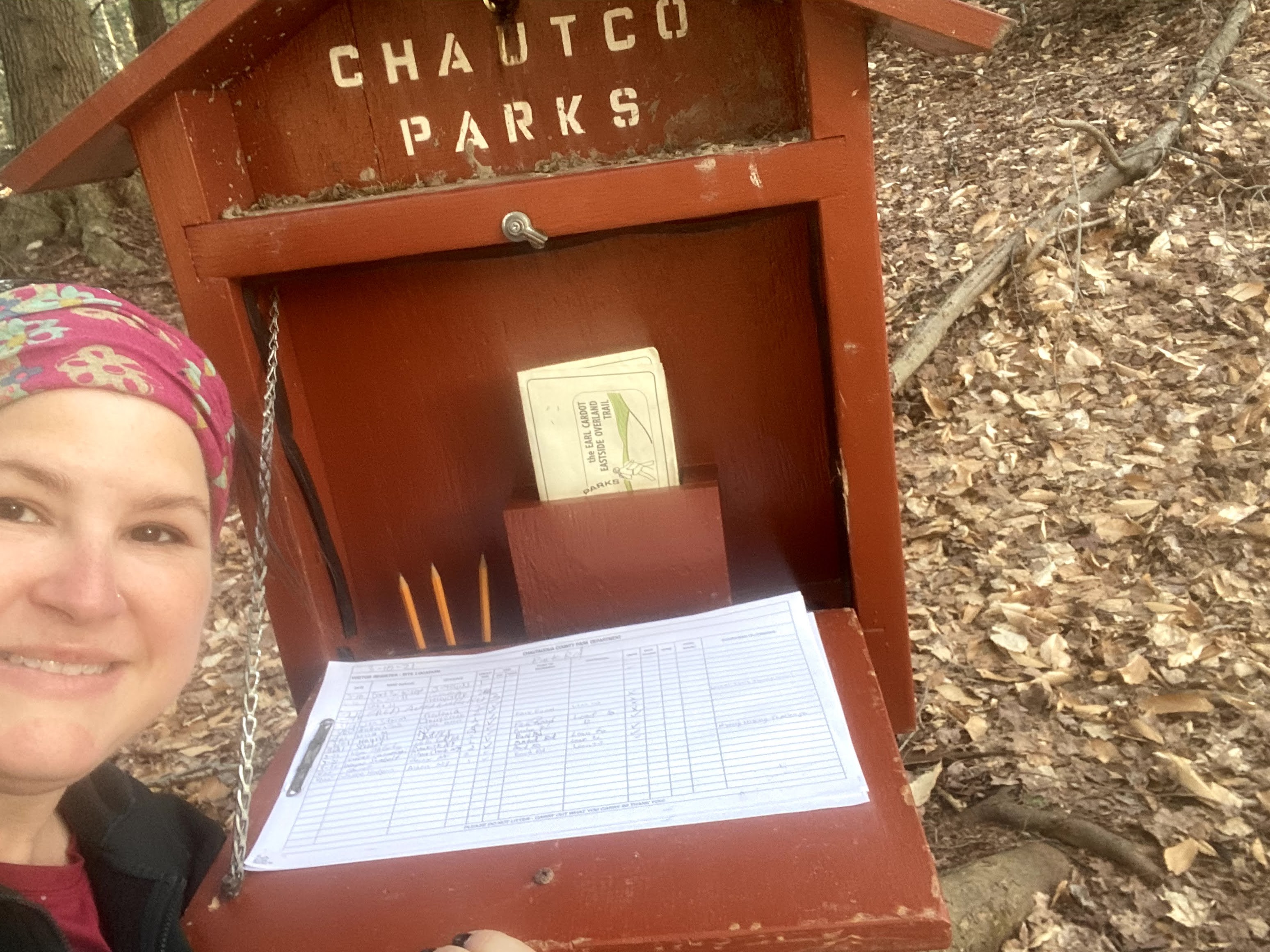
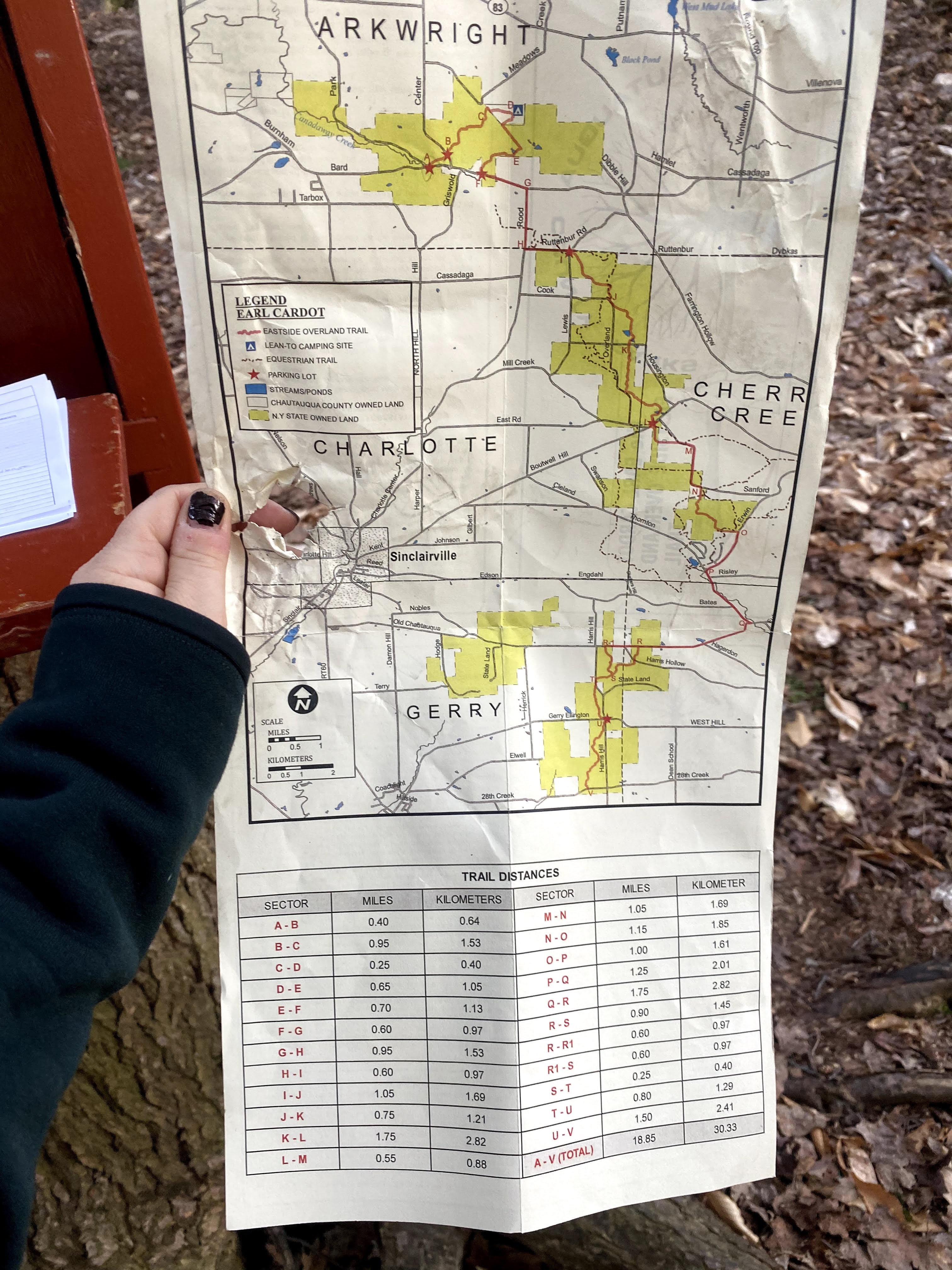
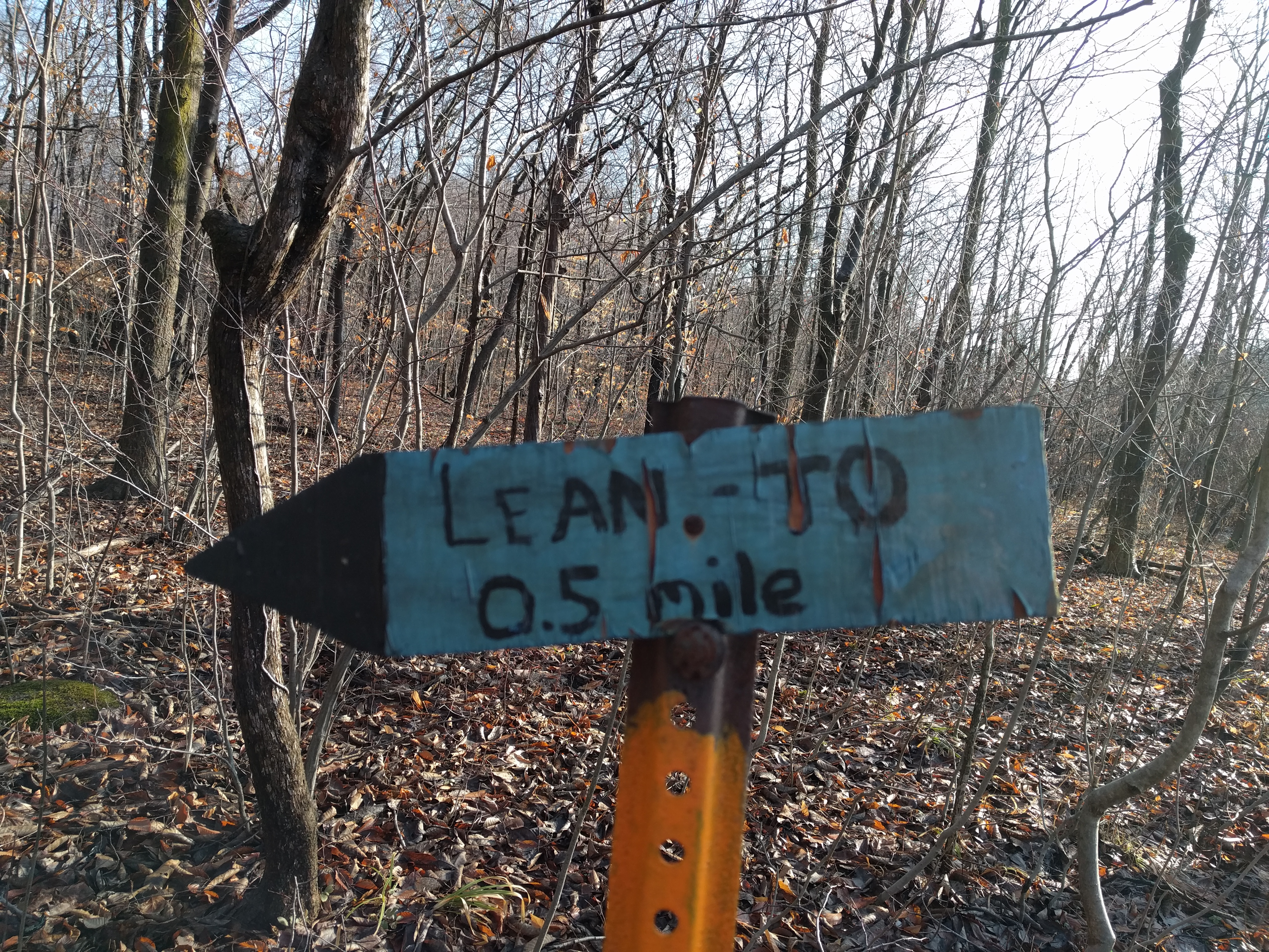
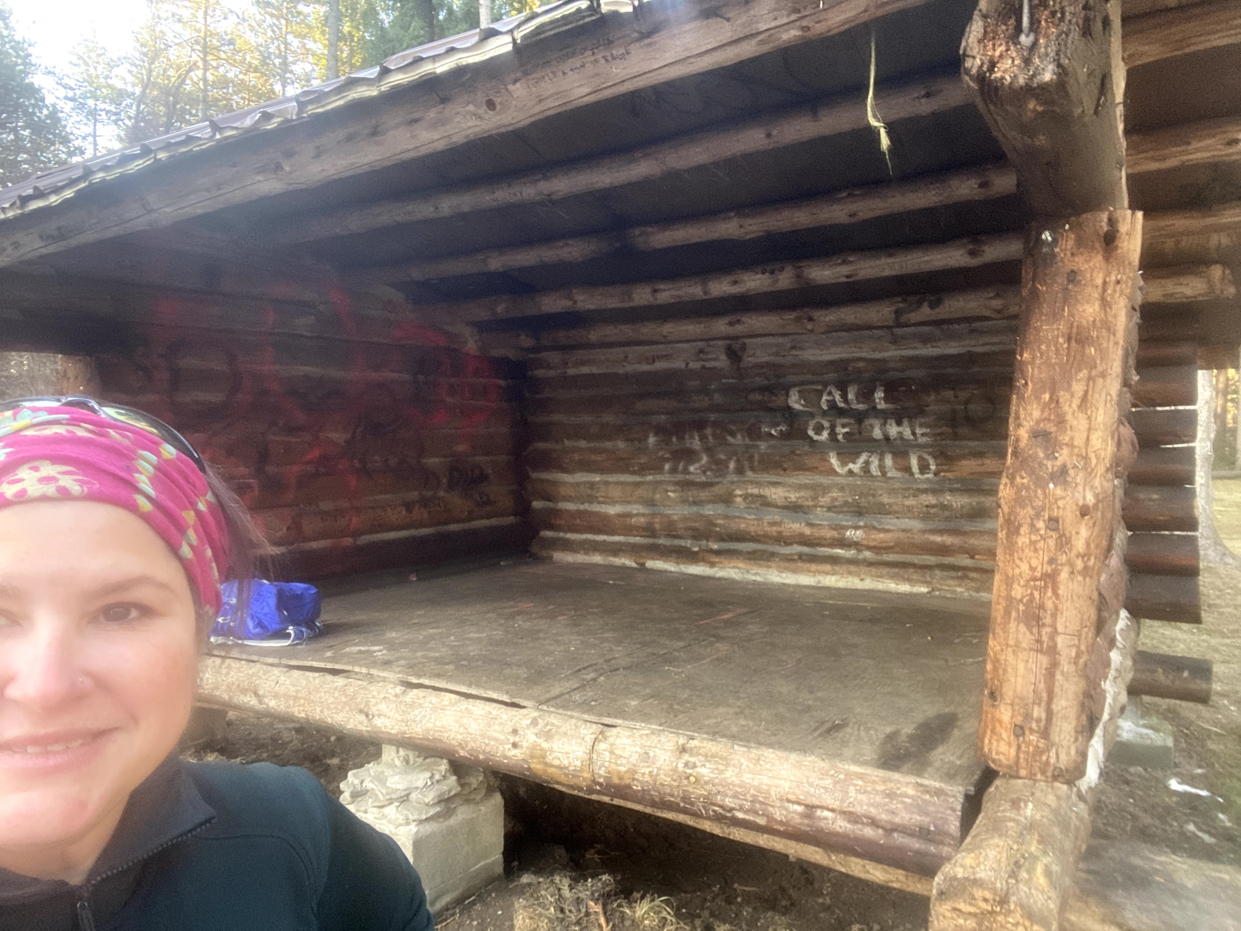
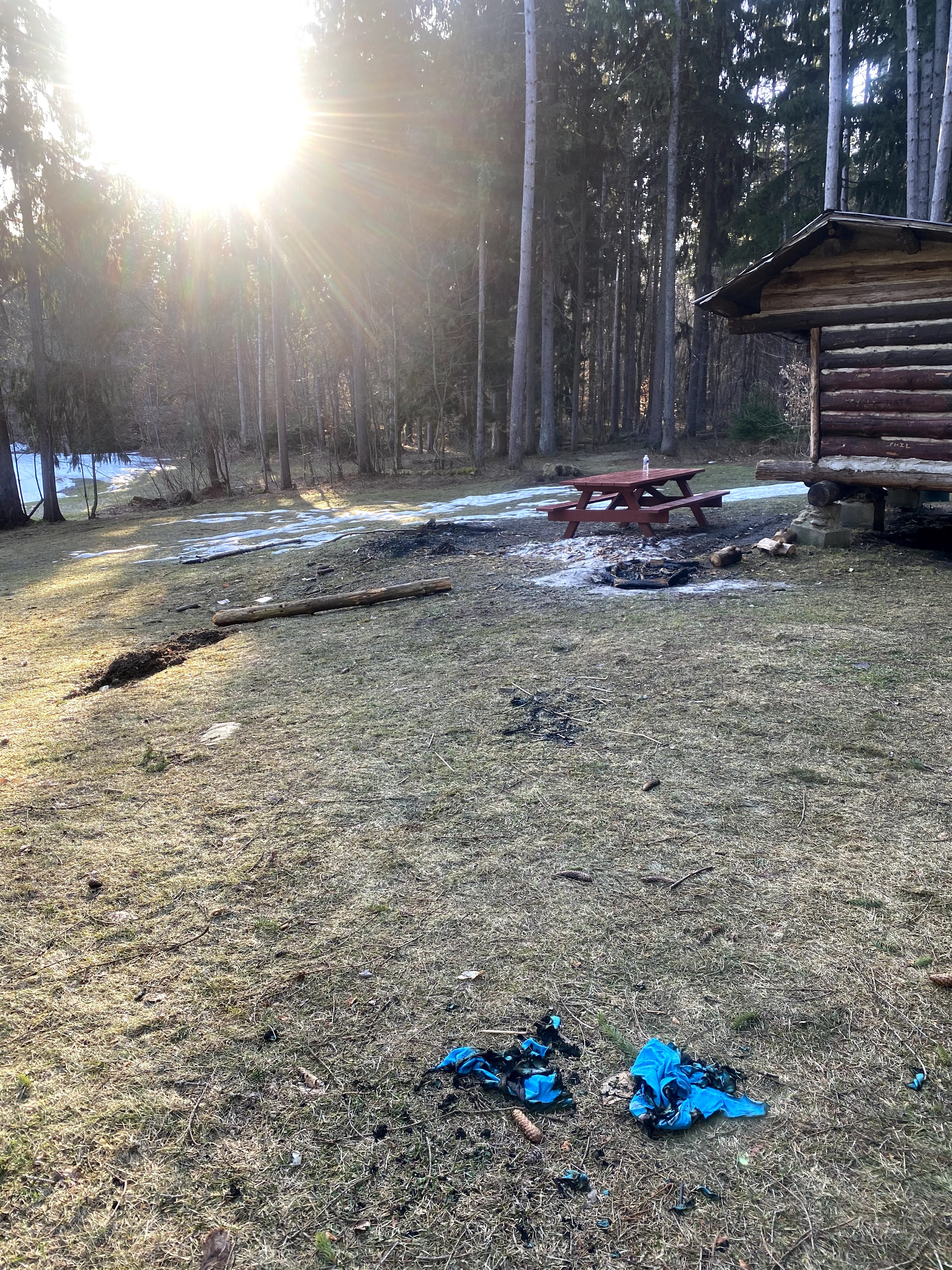
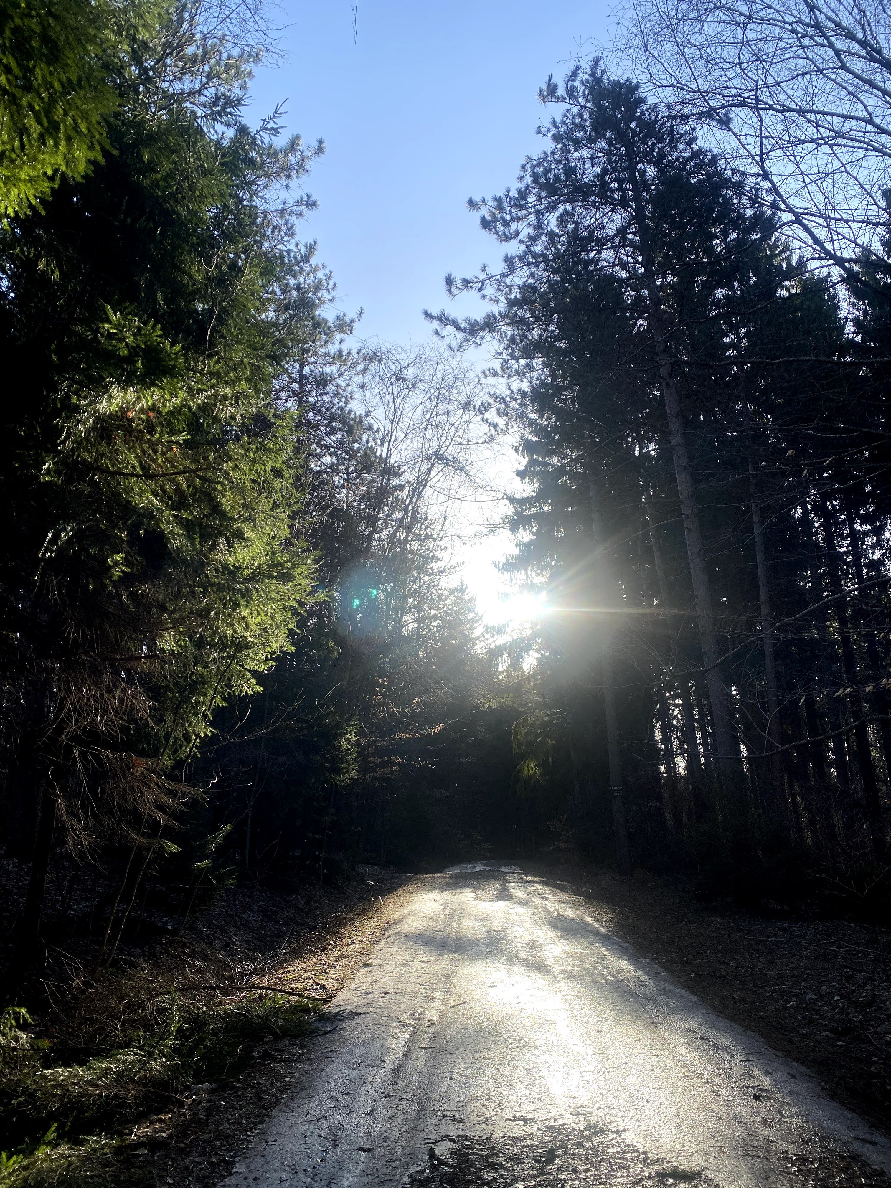
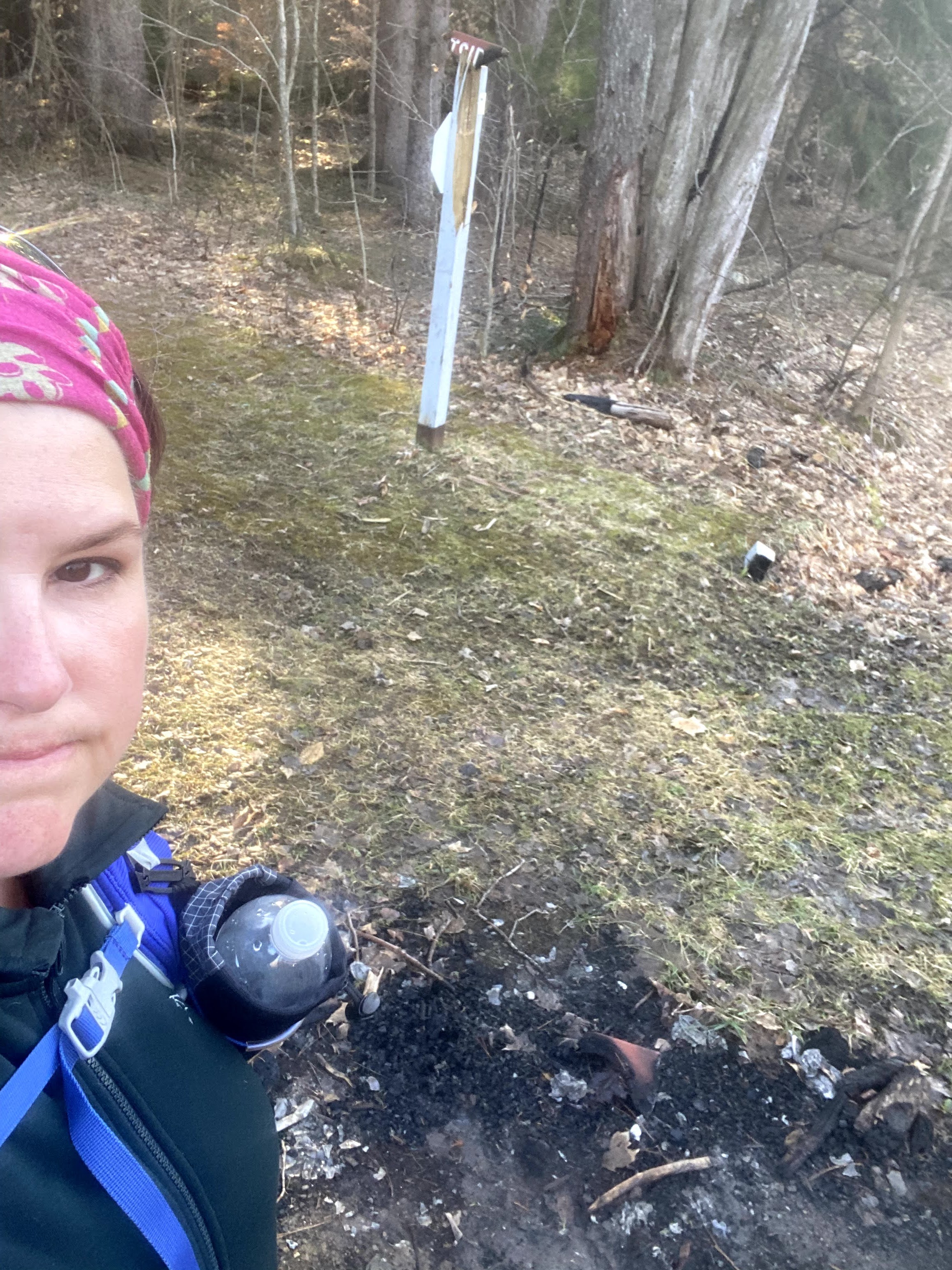
I woke up early Thursday, but not soon enough to see the sunrise on the trail. I decided to start my day at Eastside Overland Trail. It seems like this is a party place and I picked up quite a bit of litter. There was even a burned t-shirt. I hope the person wasn’t in it when it was on fire. One of the important signs indicating a turn off the snowmobile trail into the woods leading to the lean to trail was chopped down and burned as well. If you hike this, make sure you are paying attention.

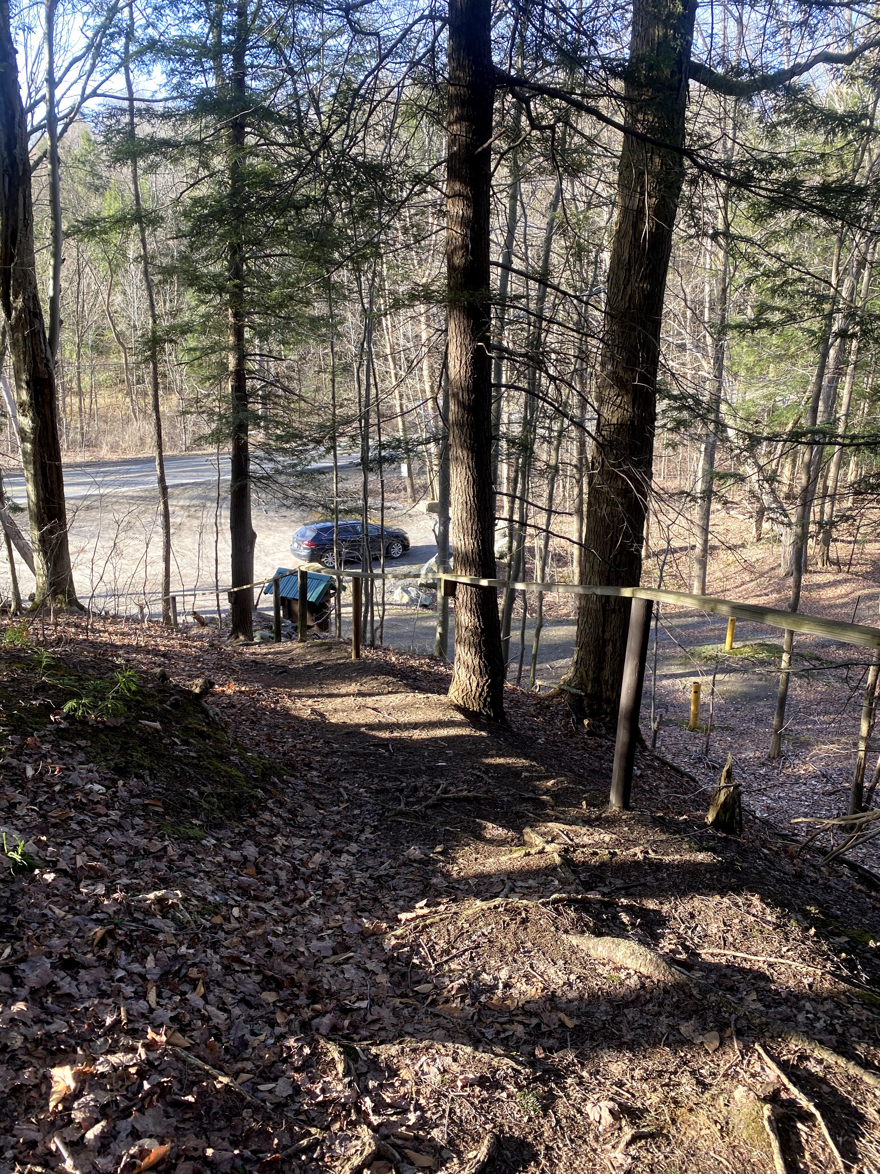
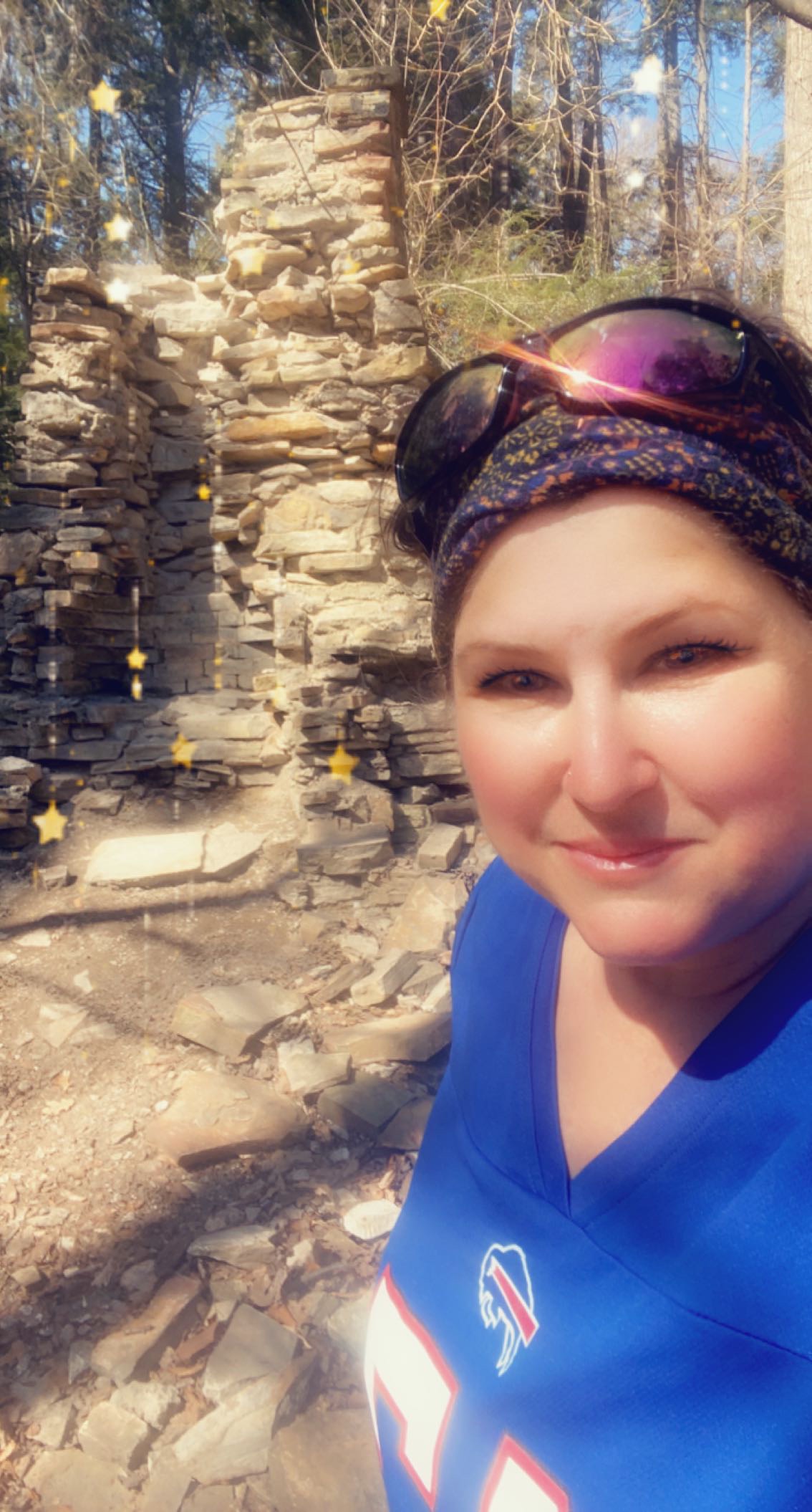
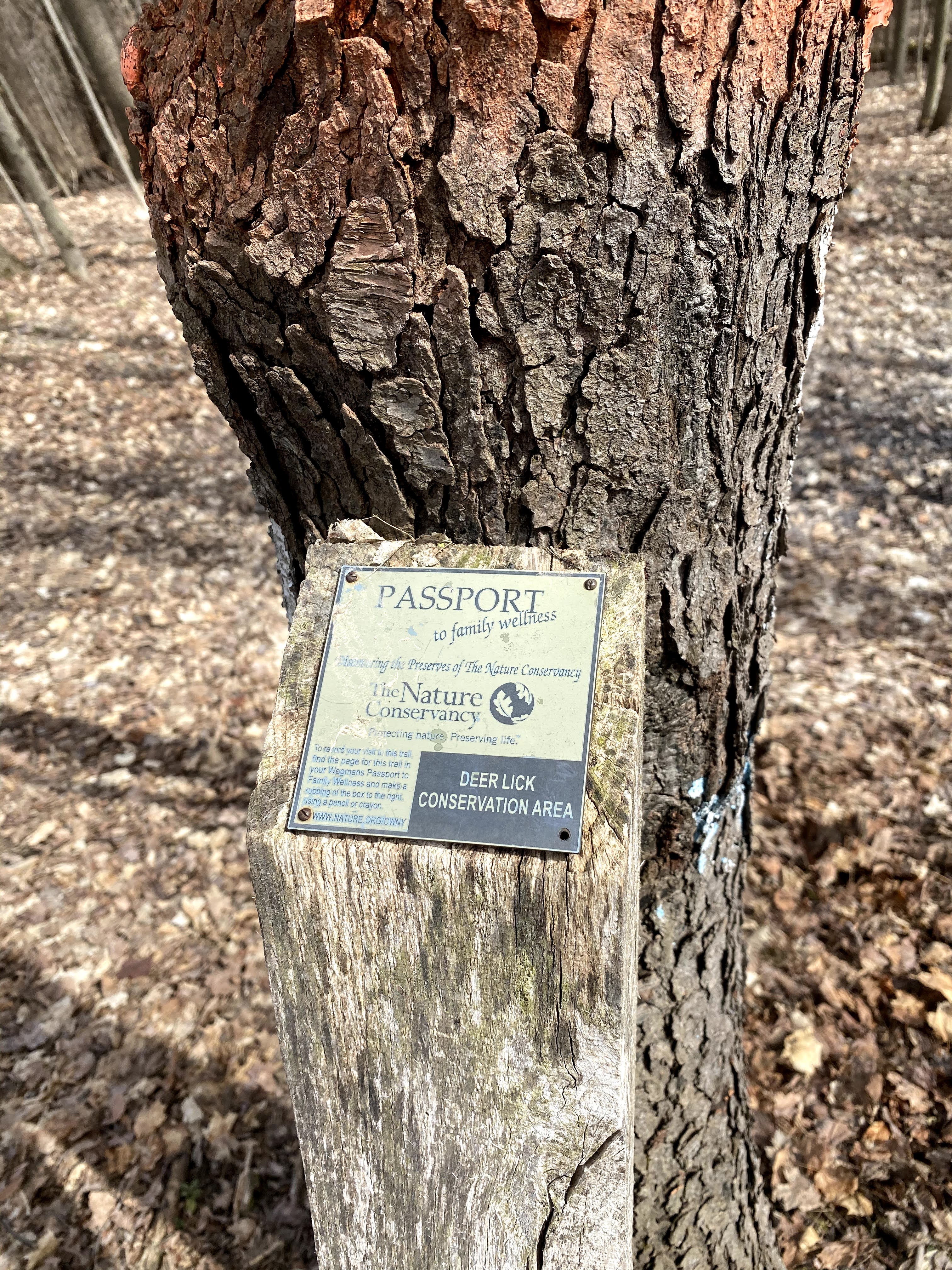
Now onto the Zoar Valley trifecta. Deer Lick, Valentine’s Flats and Holcomb Pond. This was going to test me for sure. I had a little drive to get to Deer Lick so I drank water and ate some food. No one was at the parking lot when I got to Deer Lick. This is one of my favorite hikes – I sure do say that a lot!


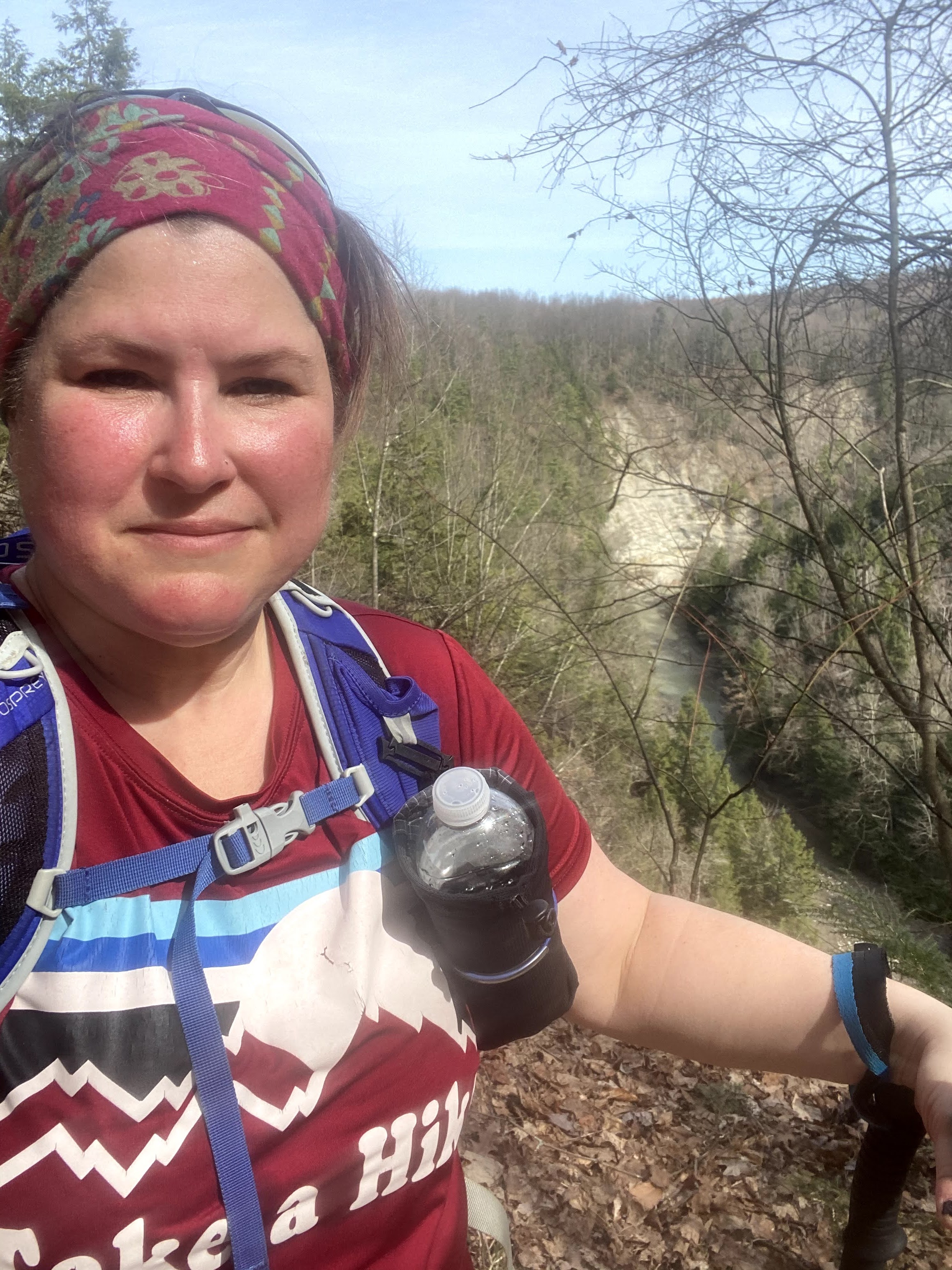
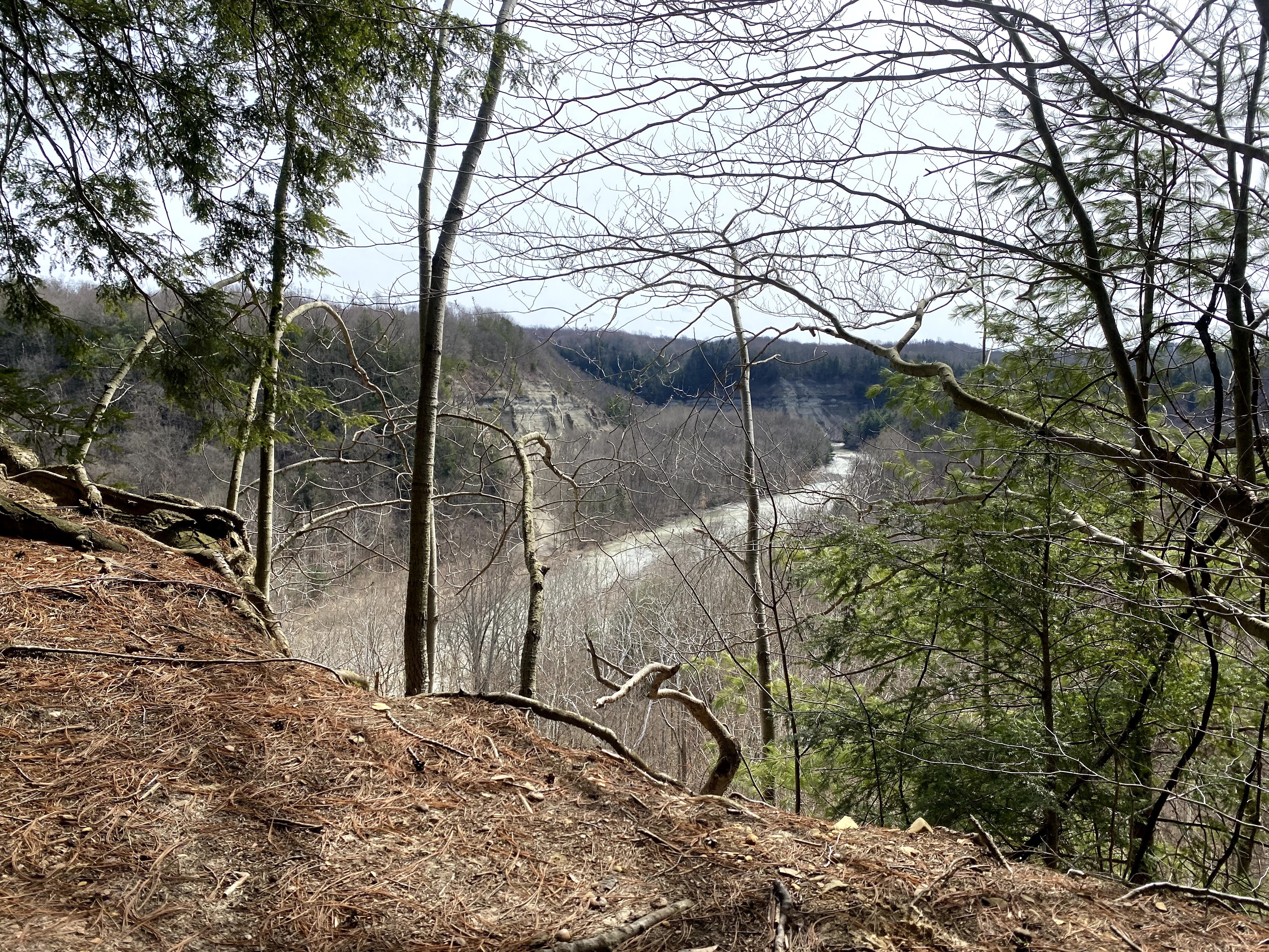
Zoar Valley Valentine Flats is always beautiful. So peaceful before all the crowds start visiting in the summer. I did not climb the pyramid because I was hiking solo and I was already tired and didn’t want to push my luck.


To read a little history of the Thomas Dutton grave, click here.
For my last stop at Holcomb Ponds – I am not going to lie – I was tired. I set off from the parking lot and made my way through the beauty. I forgot about being tired and just took my time and enjoyed the fragrance of the forest. I lingered at the challenge landmark spot – it was moved to around the pond a little directly under some glorious pines. I picked up some trash and ate a snack. Just so grateful to be able to do what I love most.


15.4 miles.
If you have any questions about any of the trails I’ve done, please ask. Most of the trails were frozen, icy and or snowy, but I’m guessing that will change or already has. I hope to meet you on the trails. I have a few more to go to finish all the trails on the challenge! But for now, I can retain my first finisher title!
I used the Avenza app to help me navigate some of the trails. Outside Chronicles has a great tutorial on how to use the app, here. I also used our town printer – Alden Advertiser – to print the maps in color. It only cost $10.00, a heck of a lot cheaper than using up my color ink cartridge on my home printer. One other note, I found that some of the mileage on the maps provided were slightly more or less than my calculations. Just keep that in mind when you hike the trails. The most important part of my success though was my husband, Dave, he supported me, cheered me on, applied the Biofreeze and even walked a trail with me. Thanks, honey. And a special thanks to Outside Chronicles, Mike Radomski.
Happy trails.
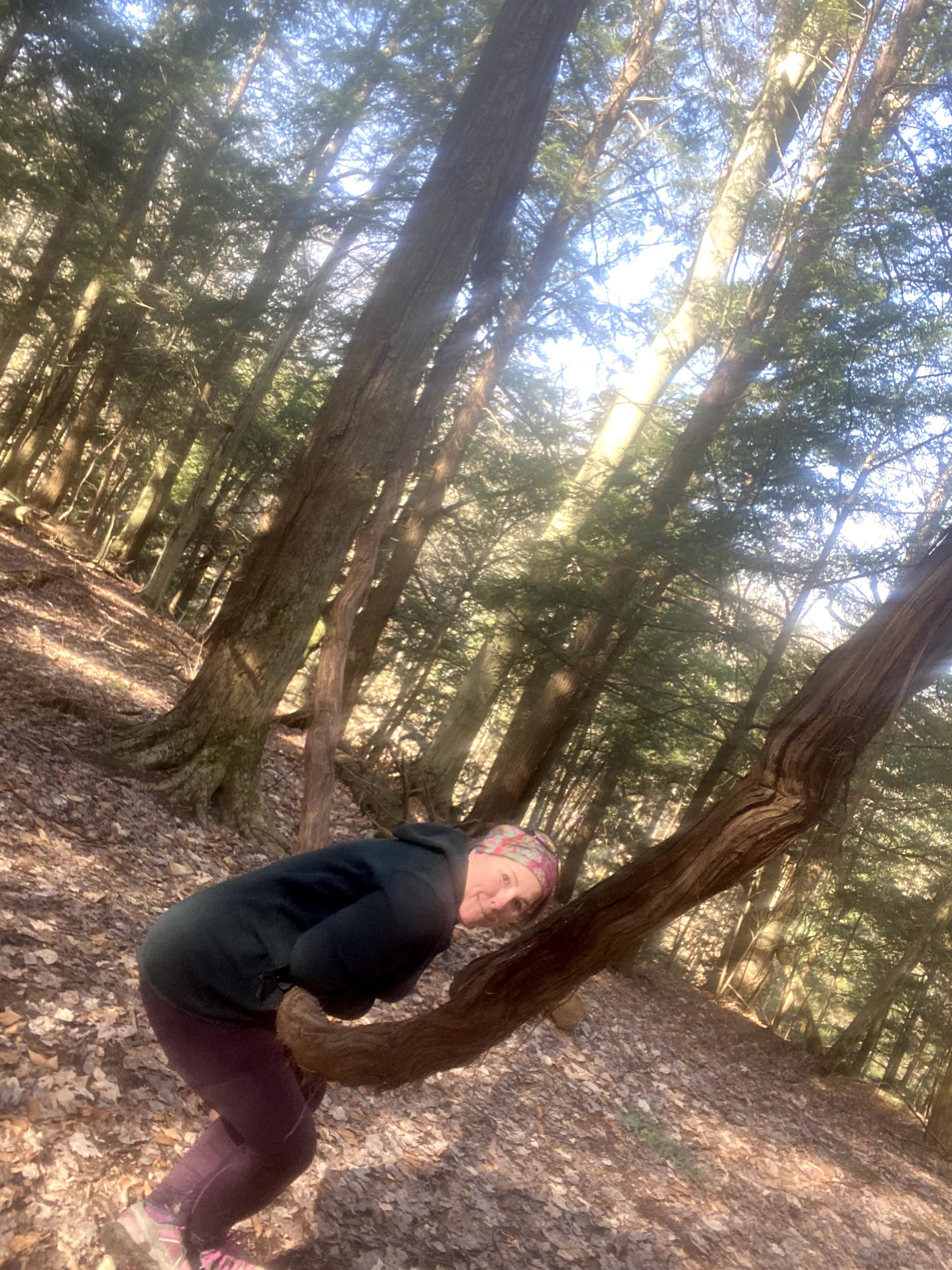
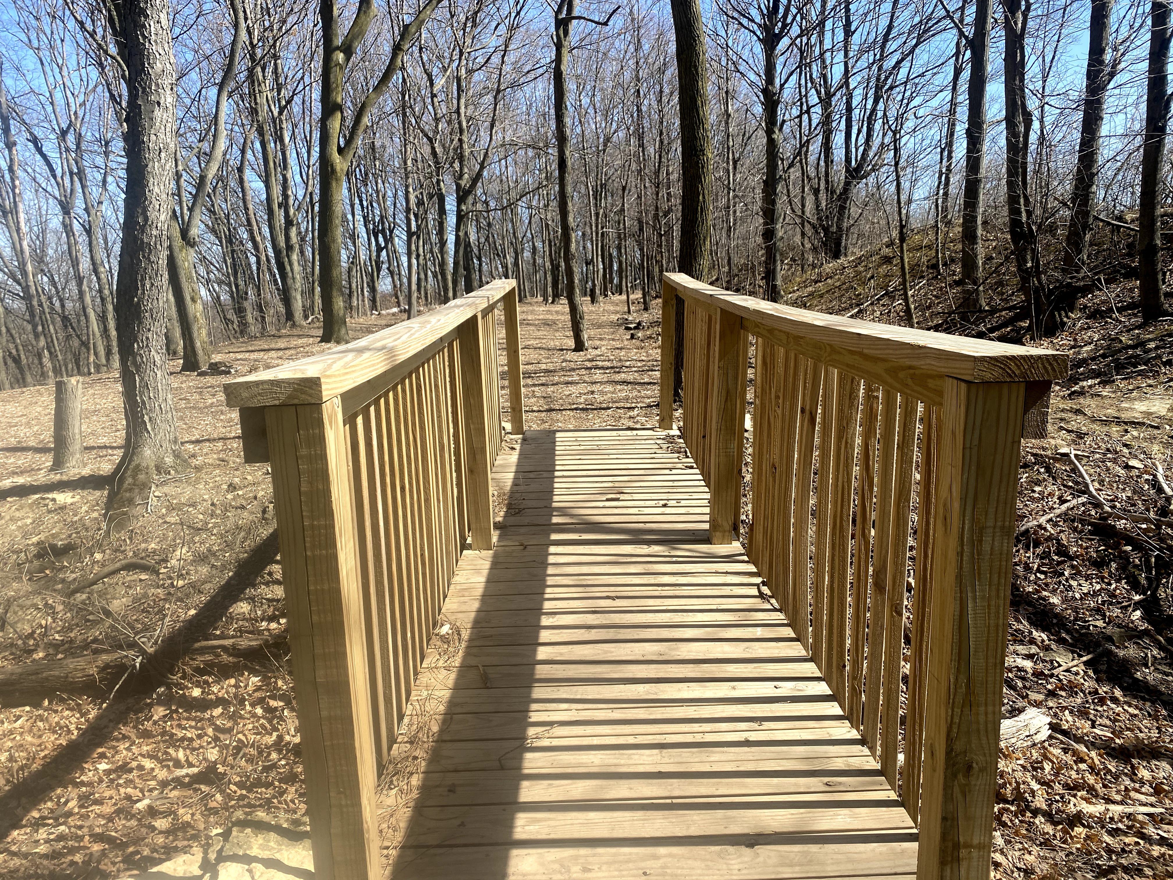
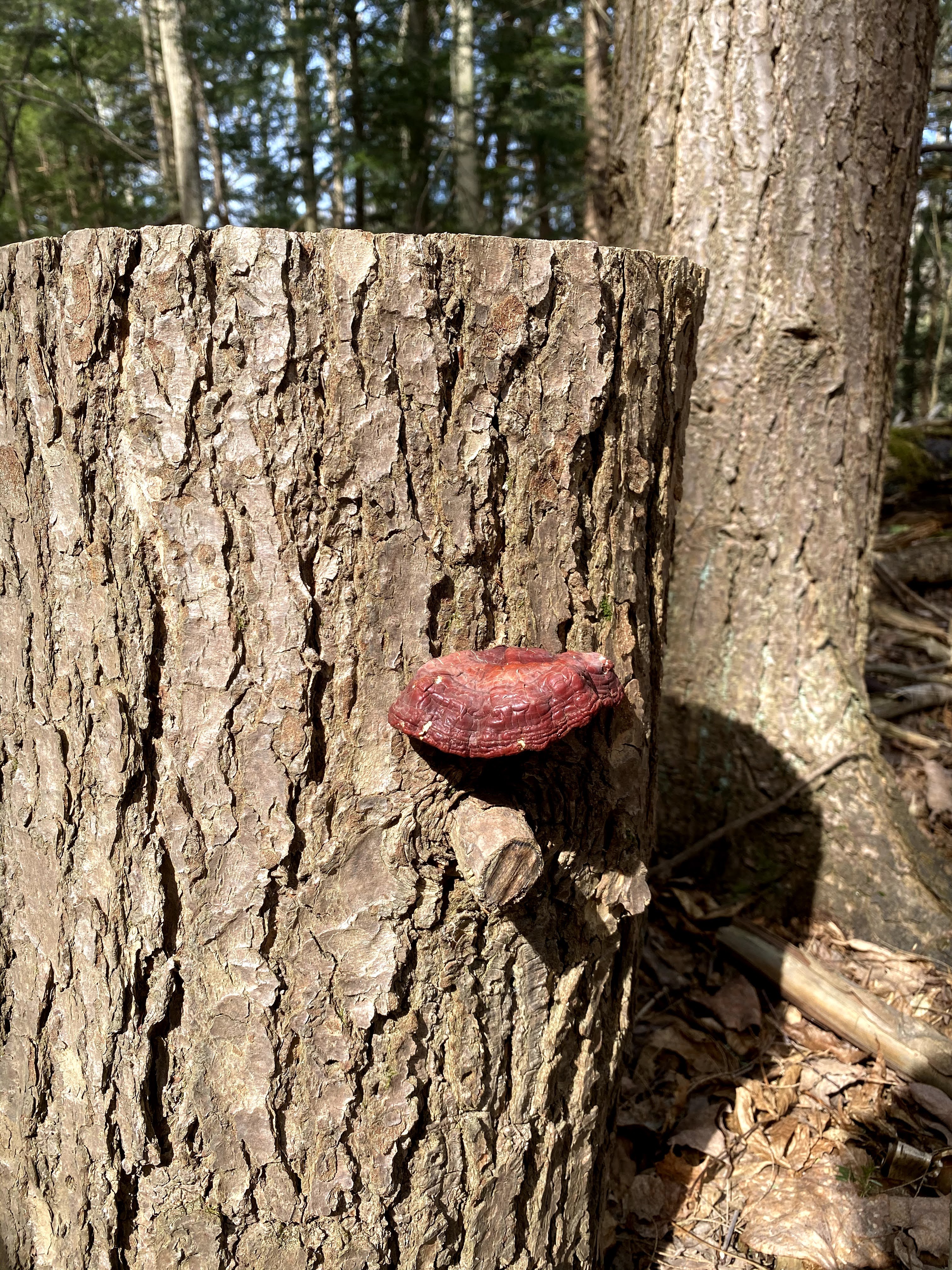
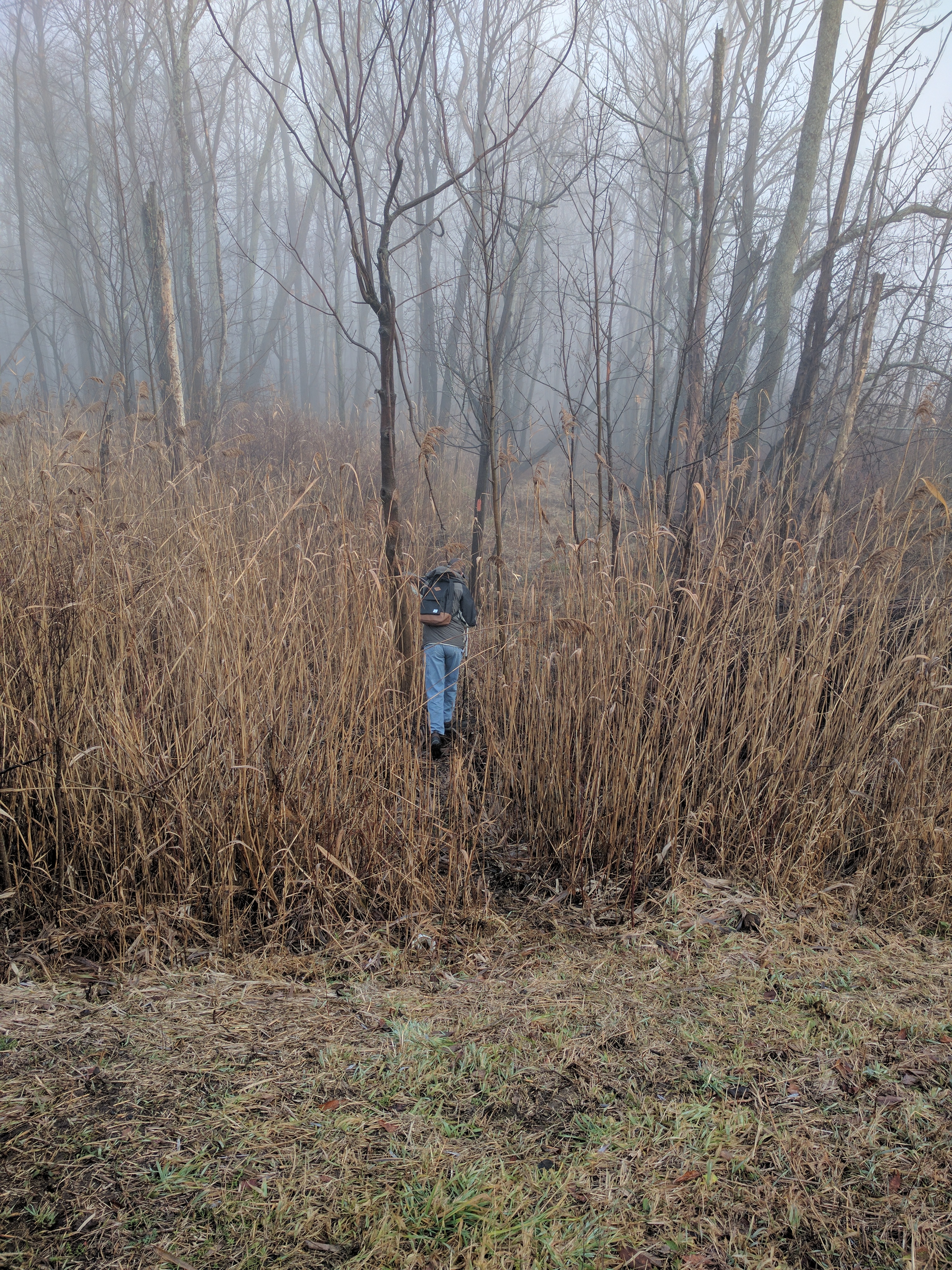
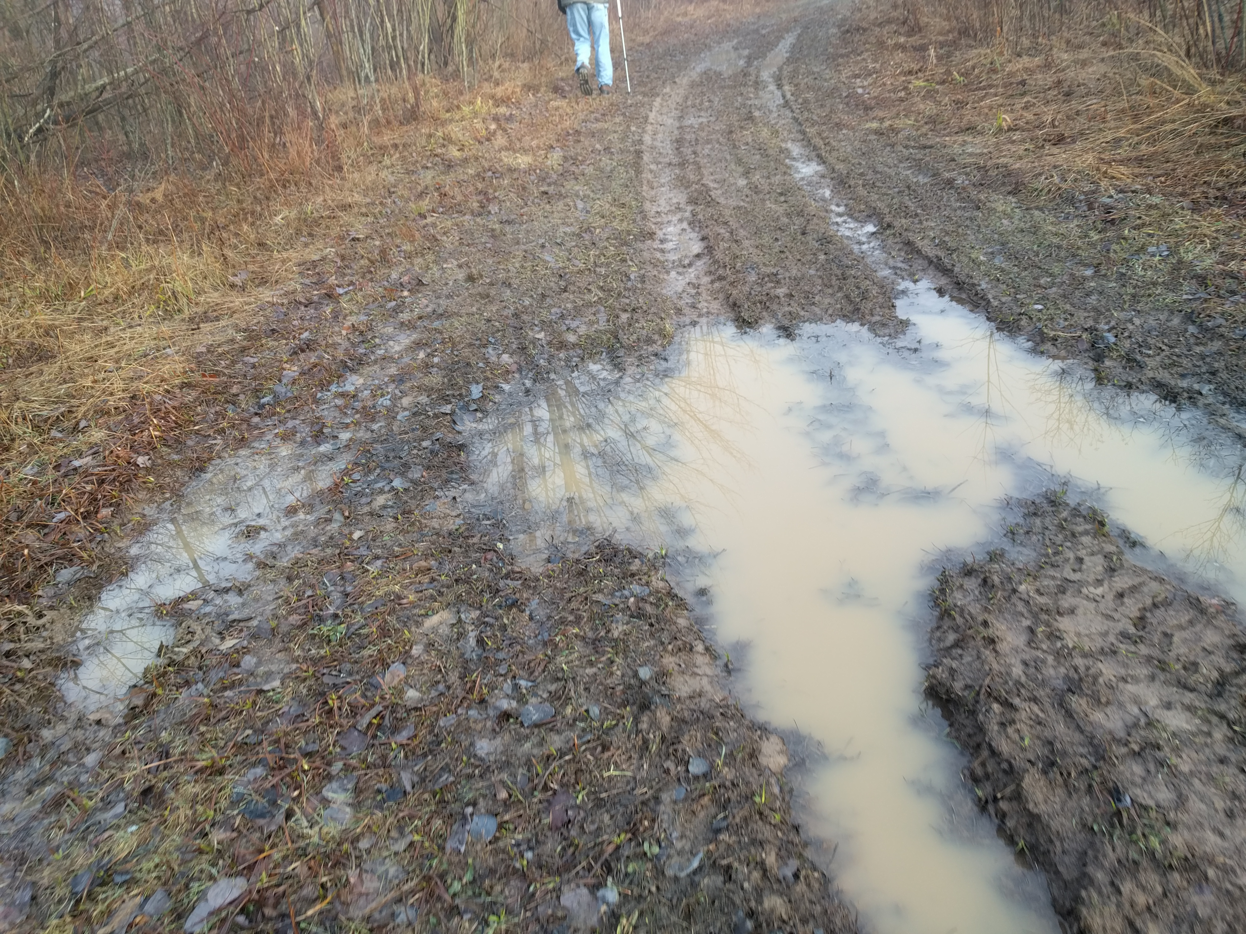
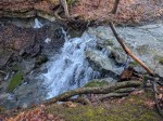
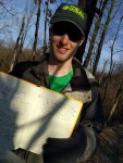
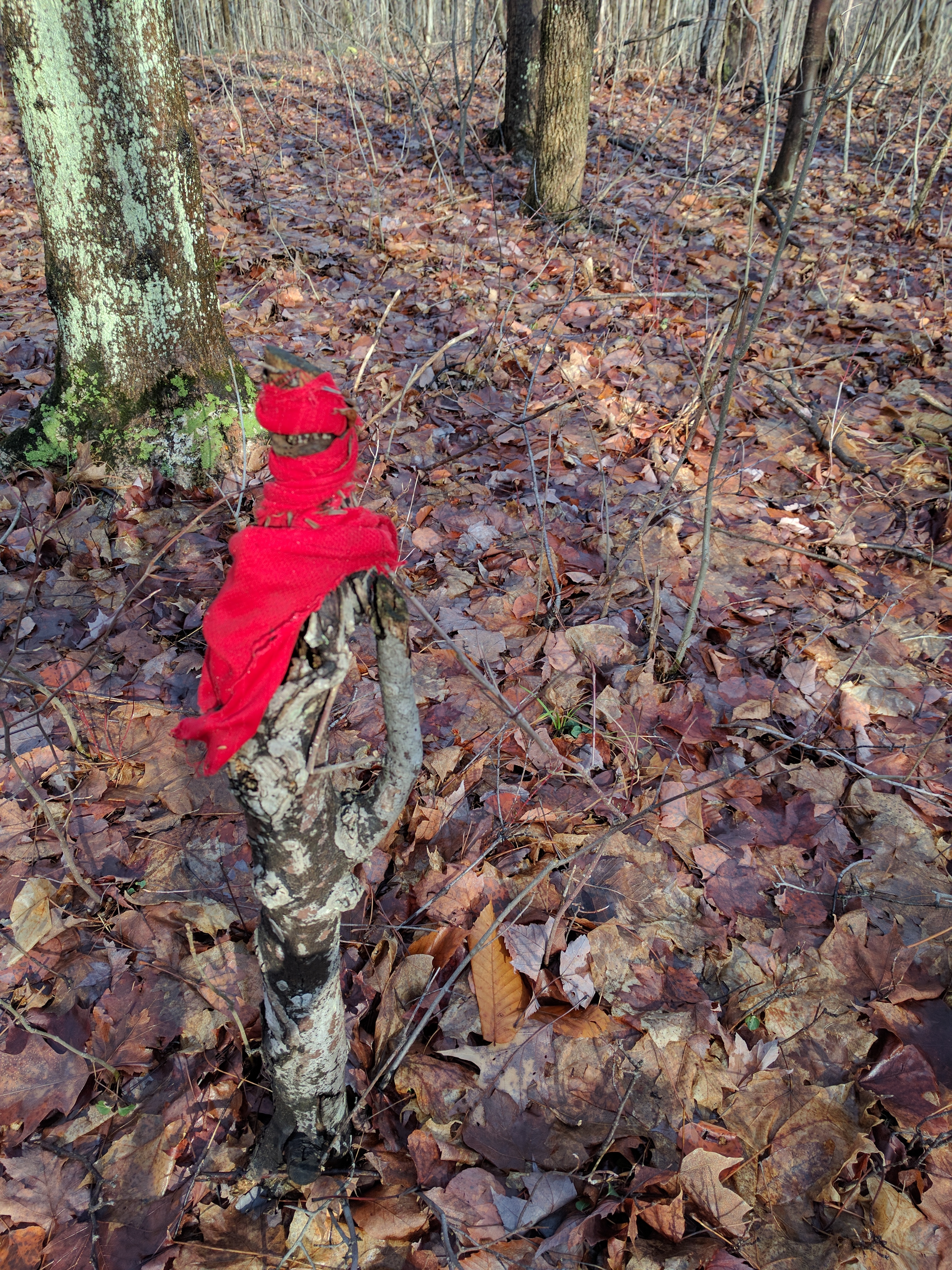
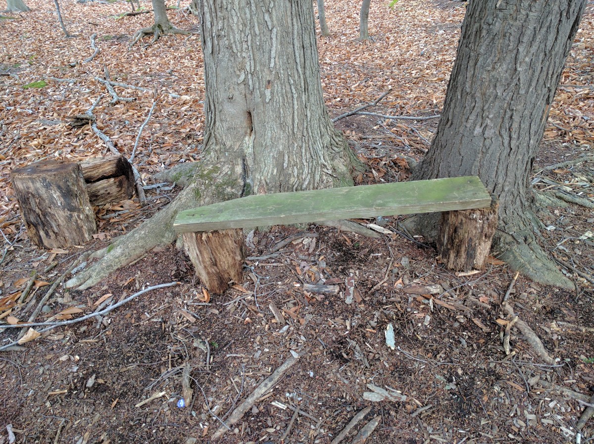
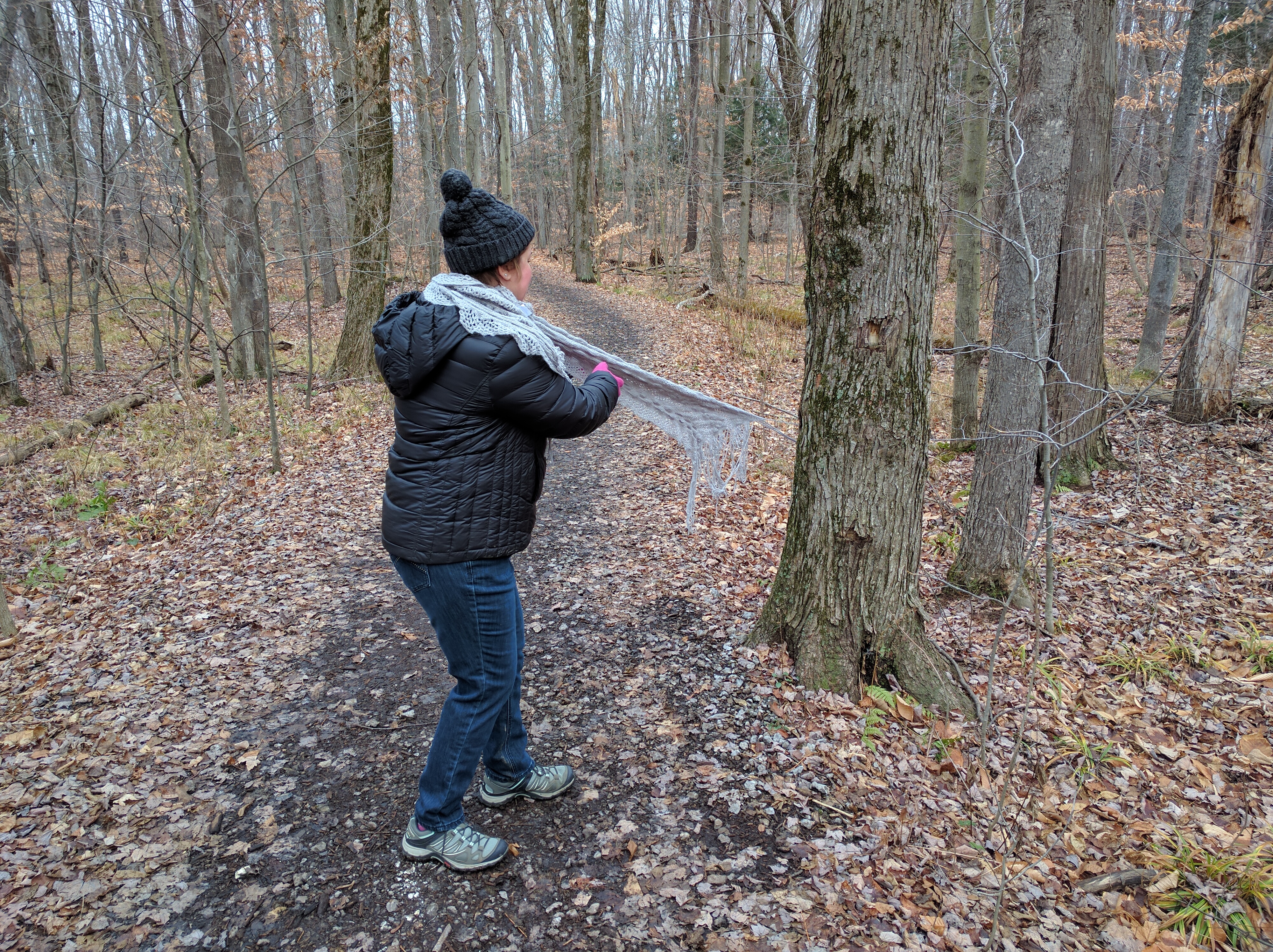
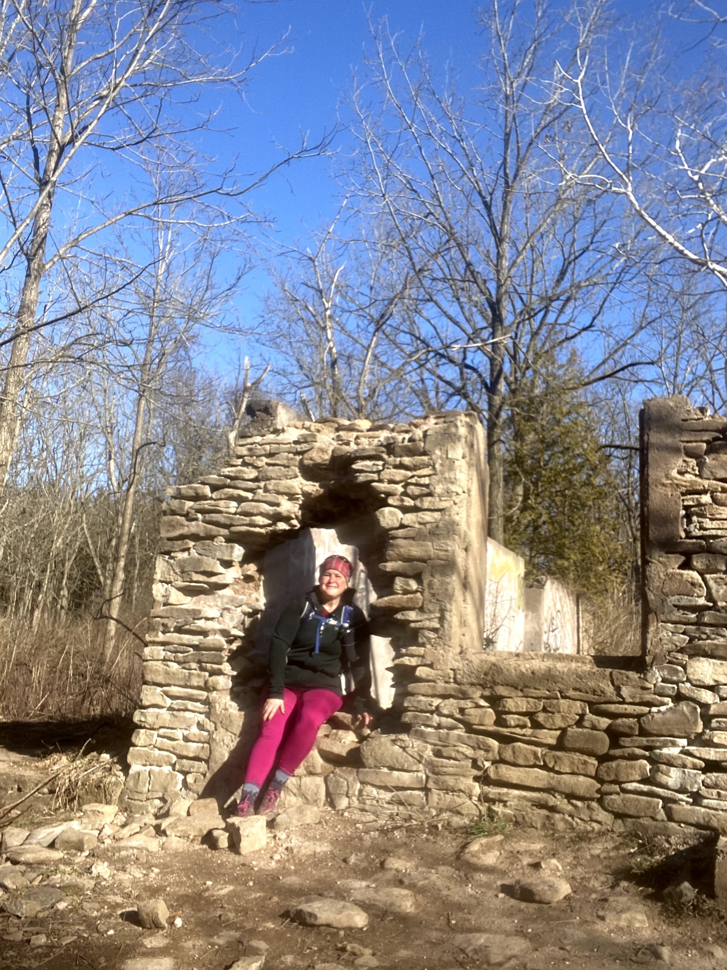
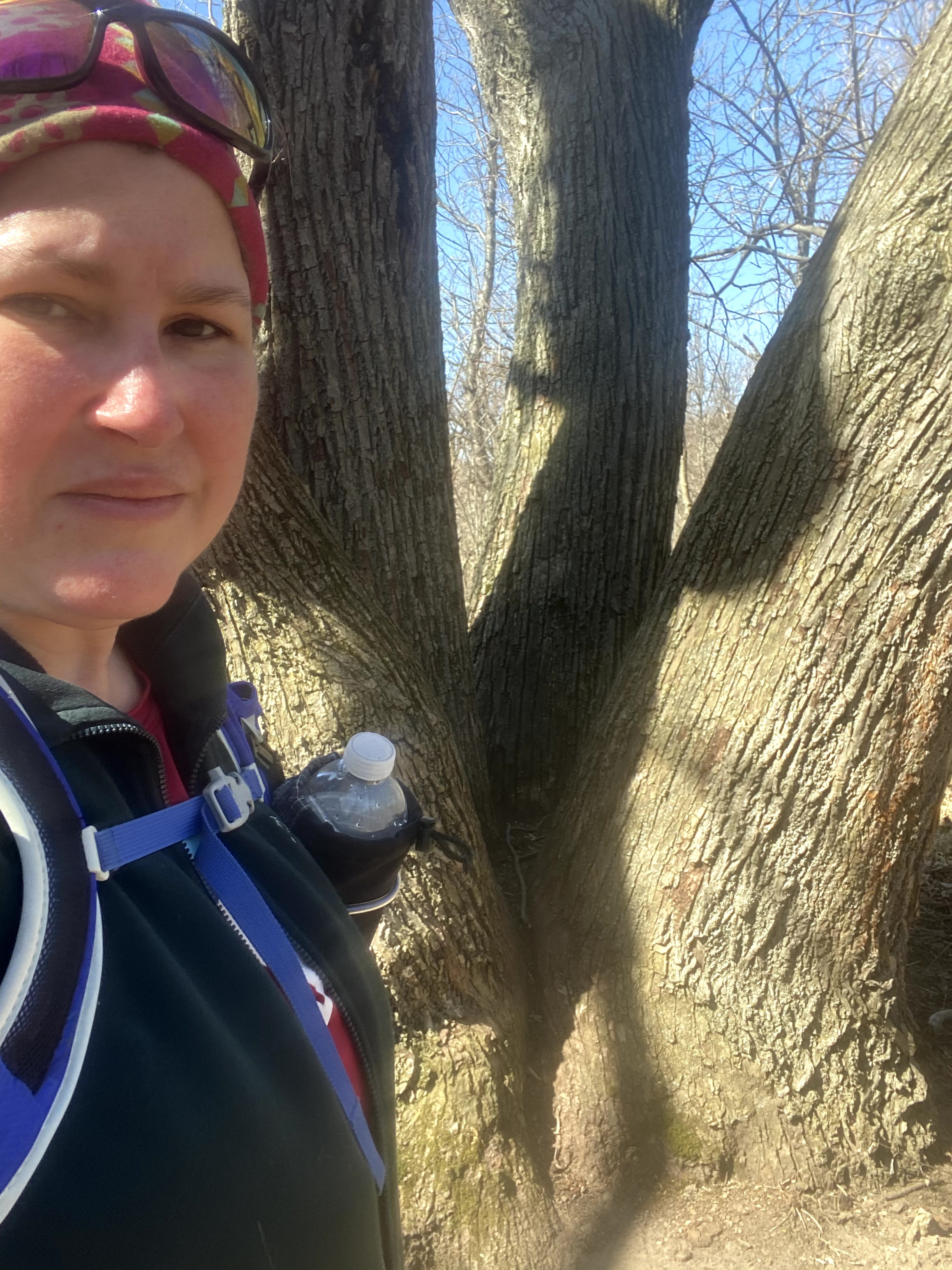
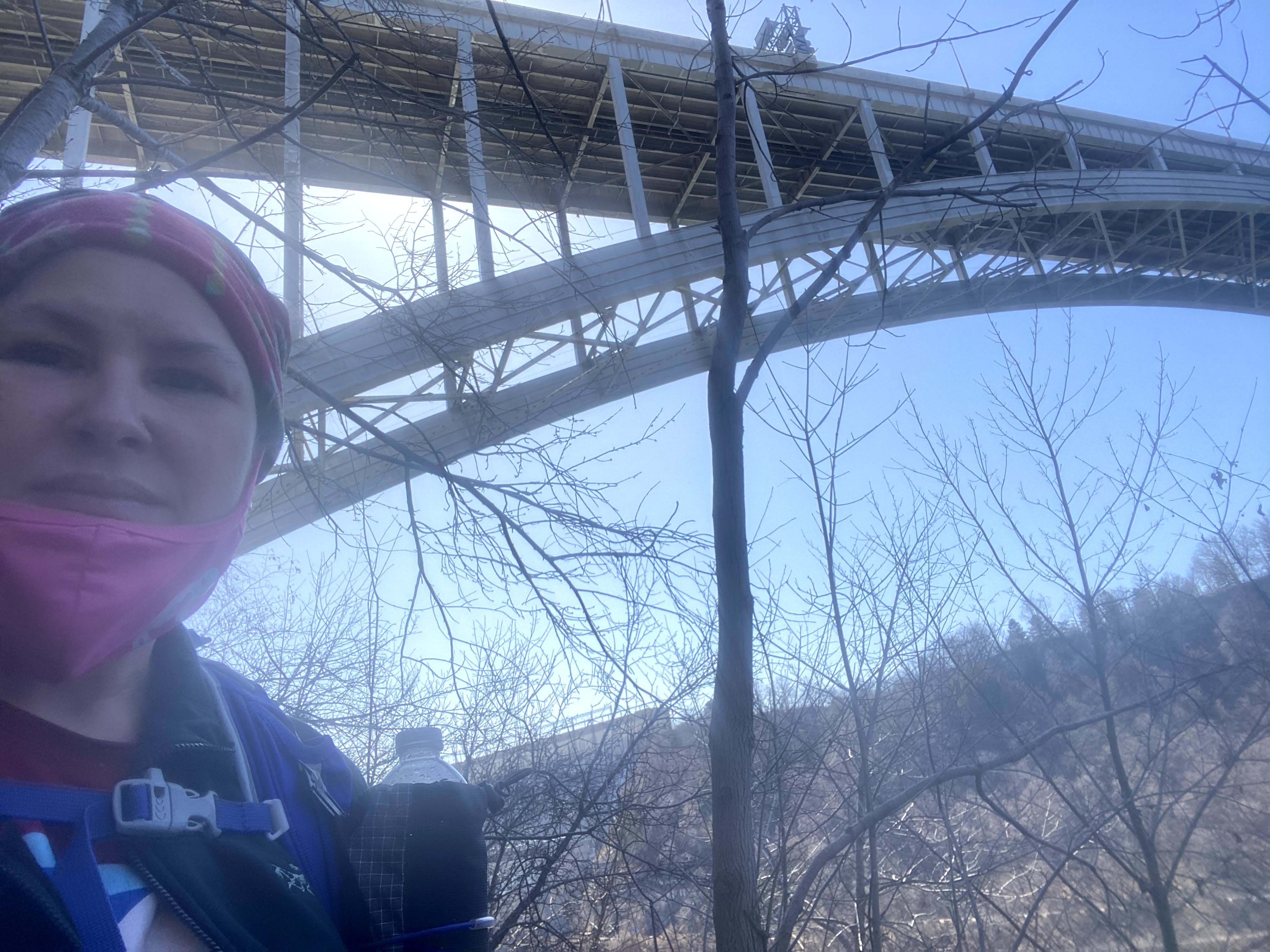
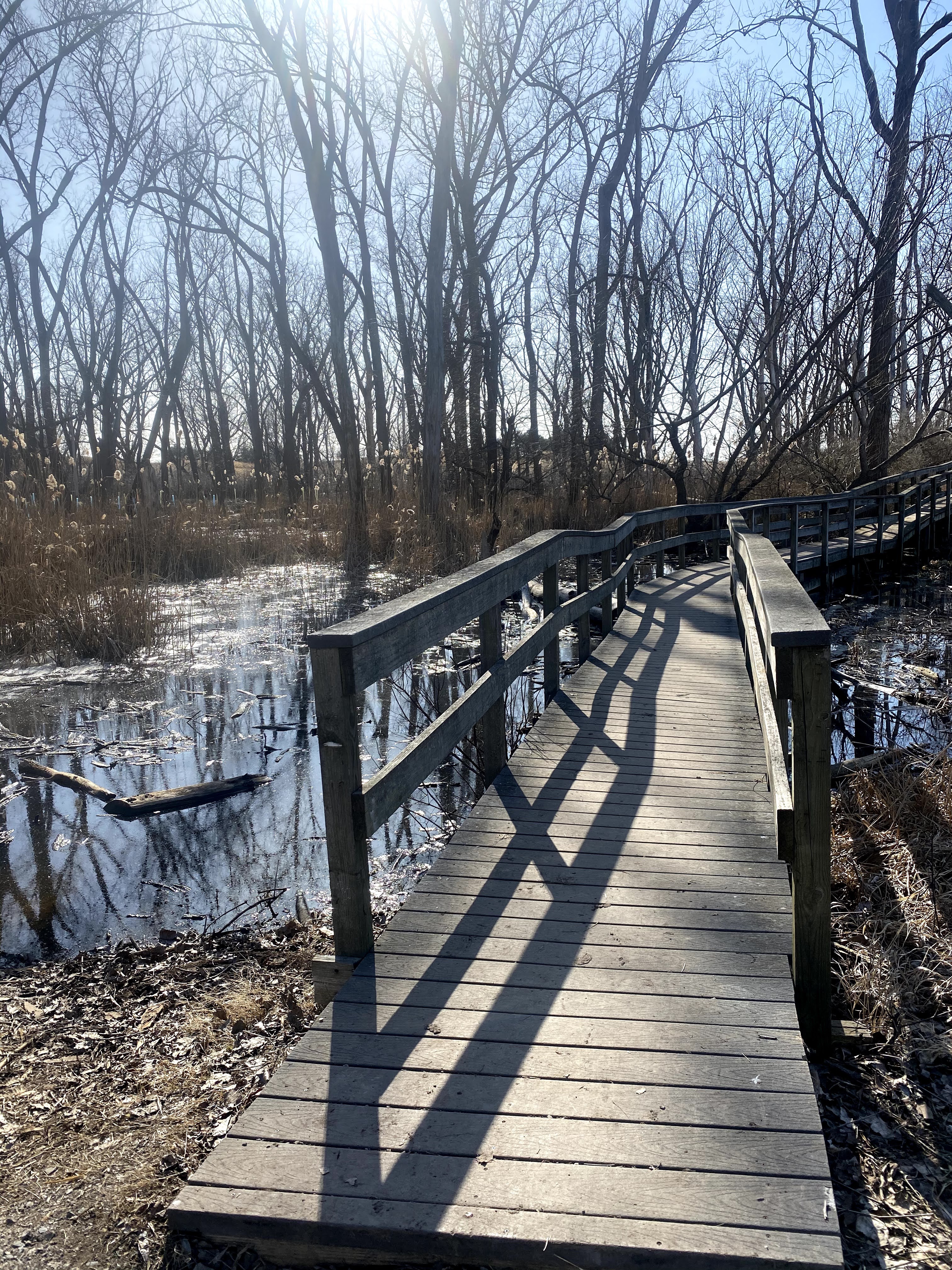
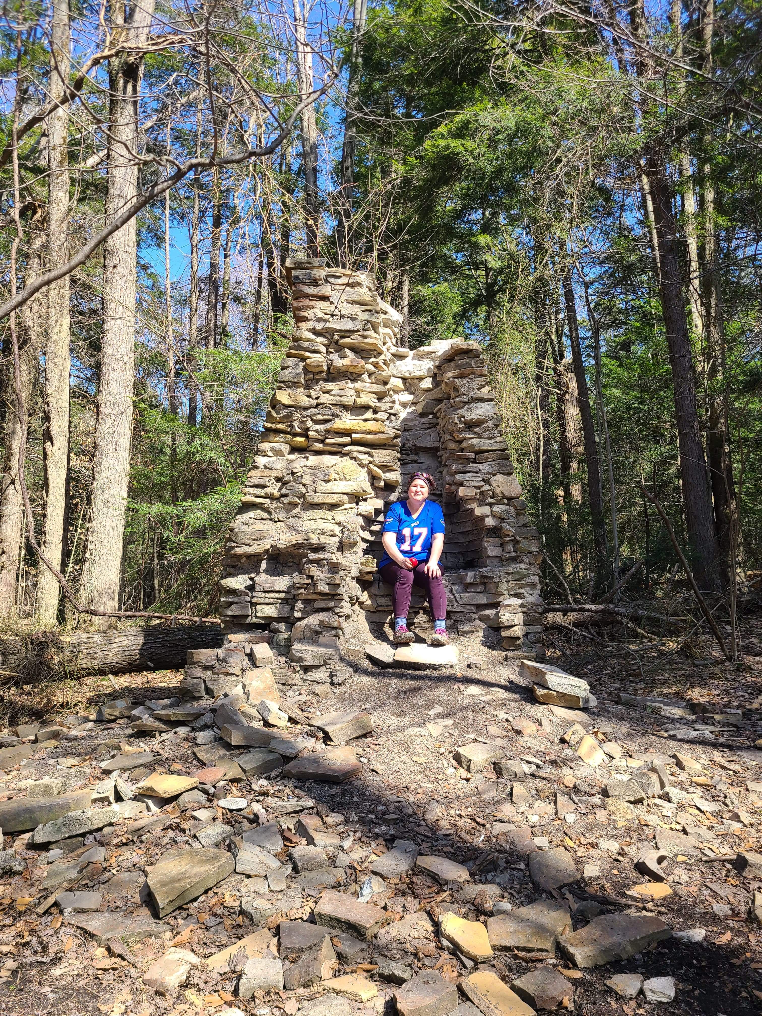
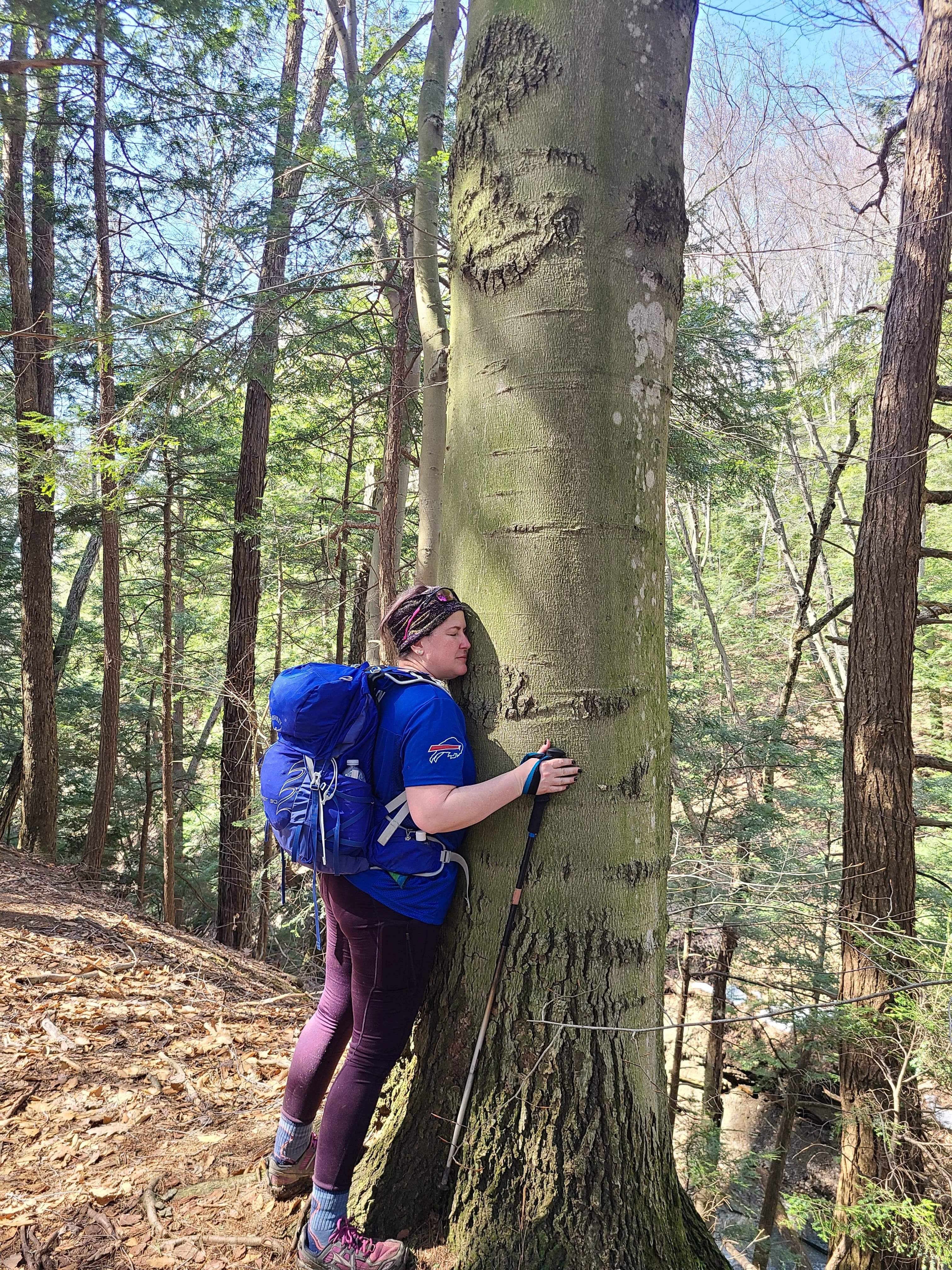
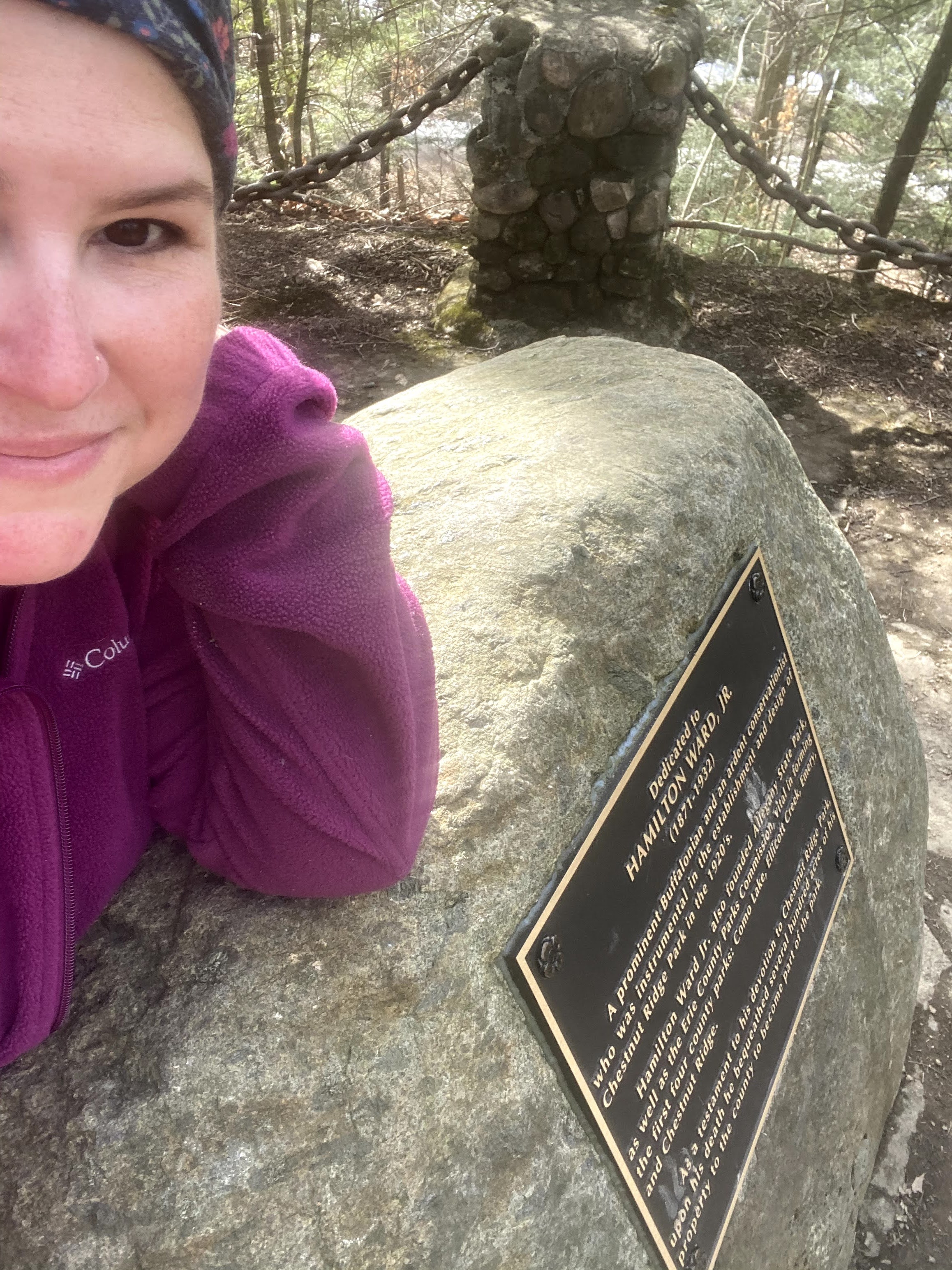
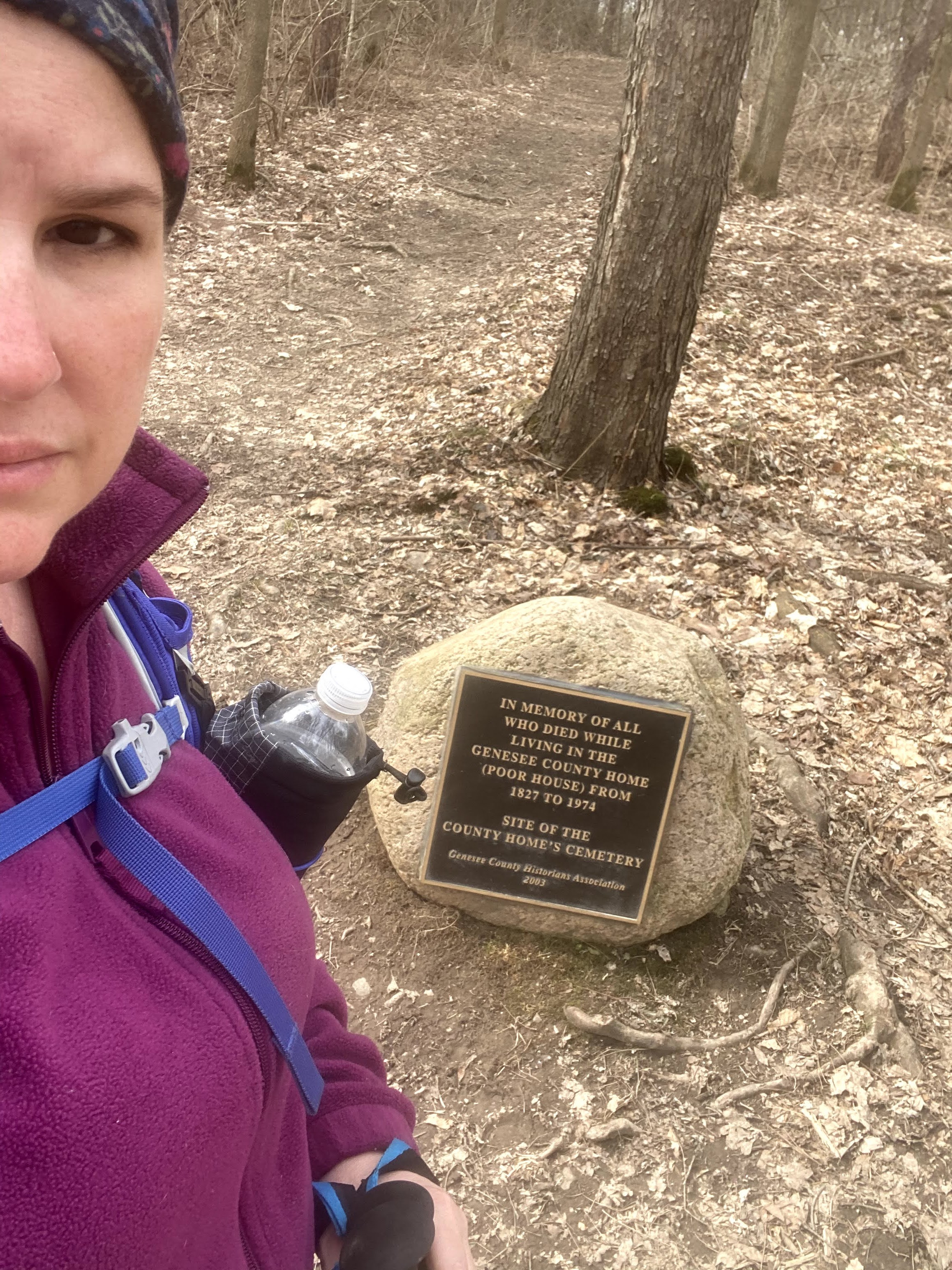
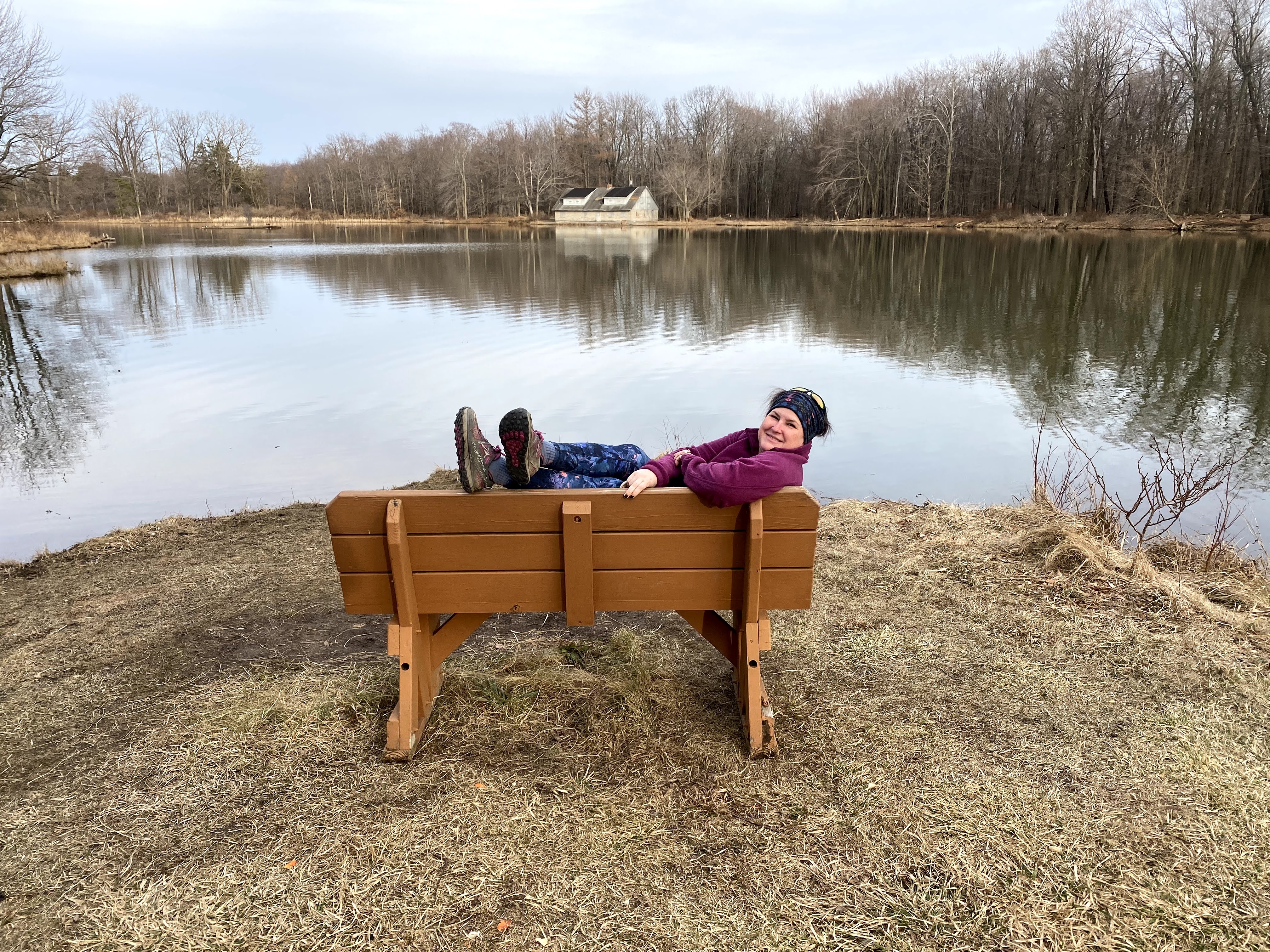
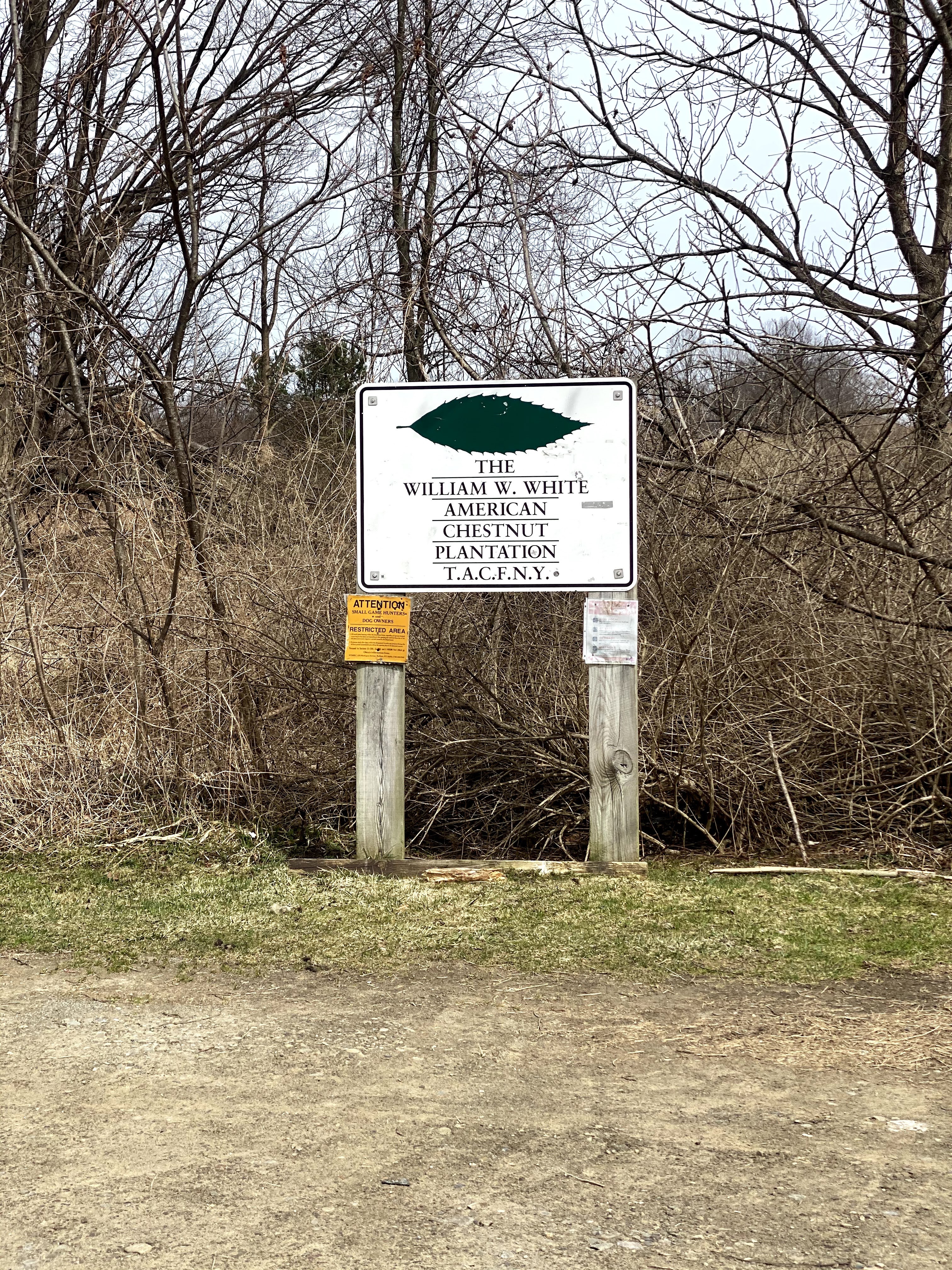
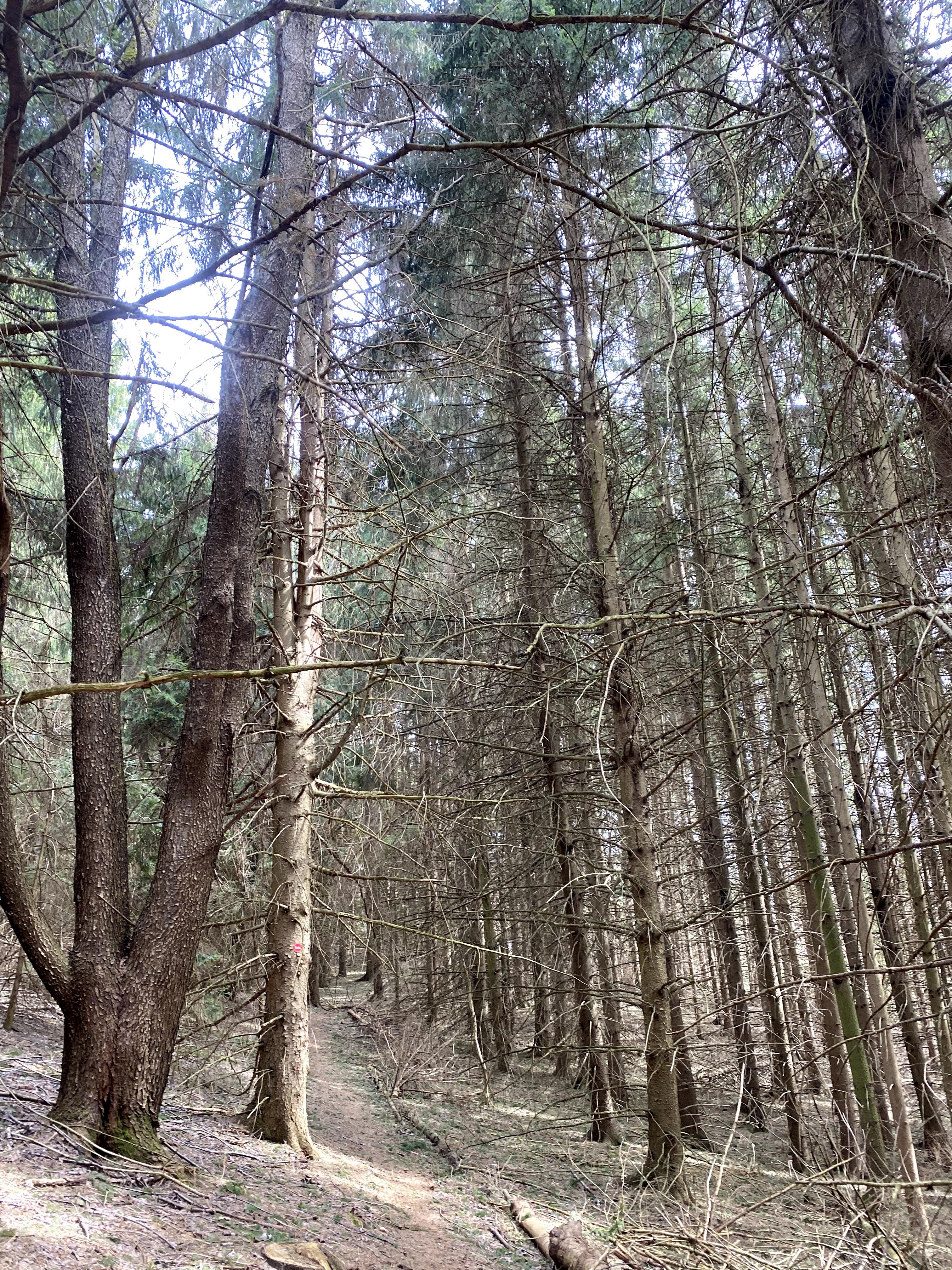
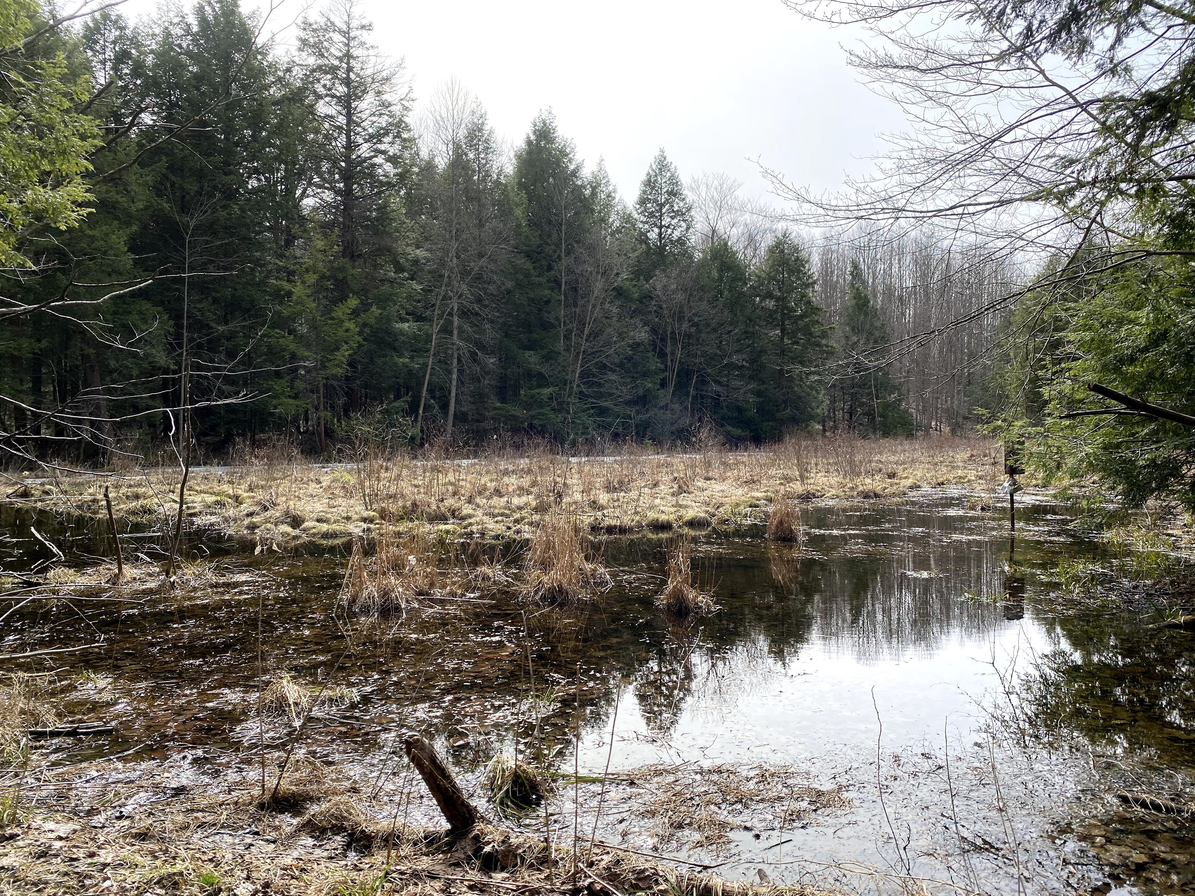
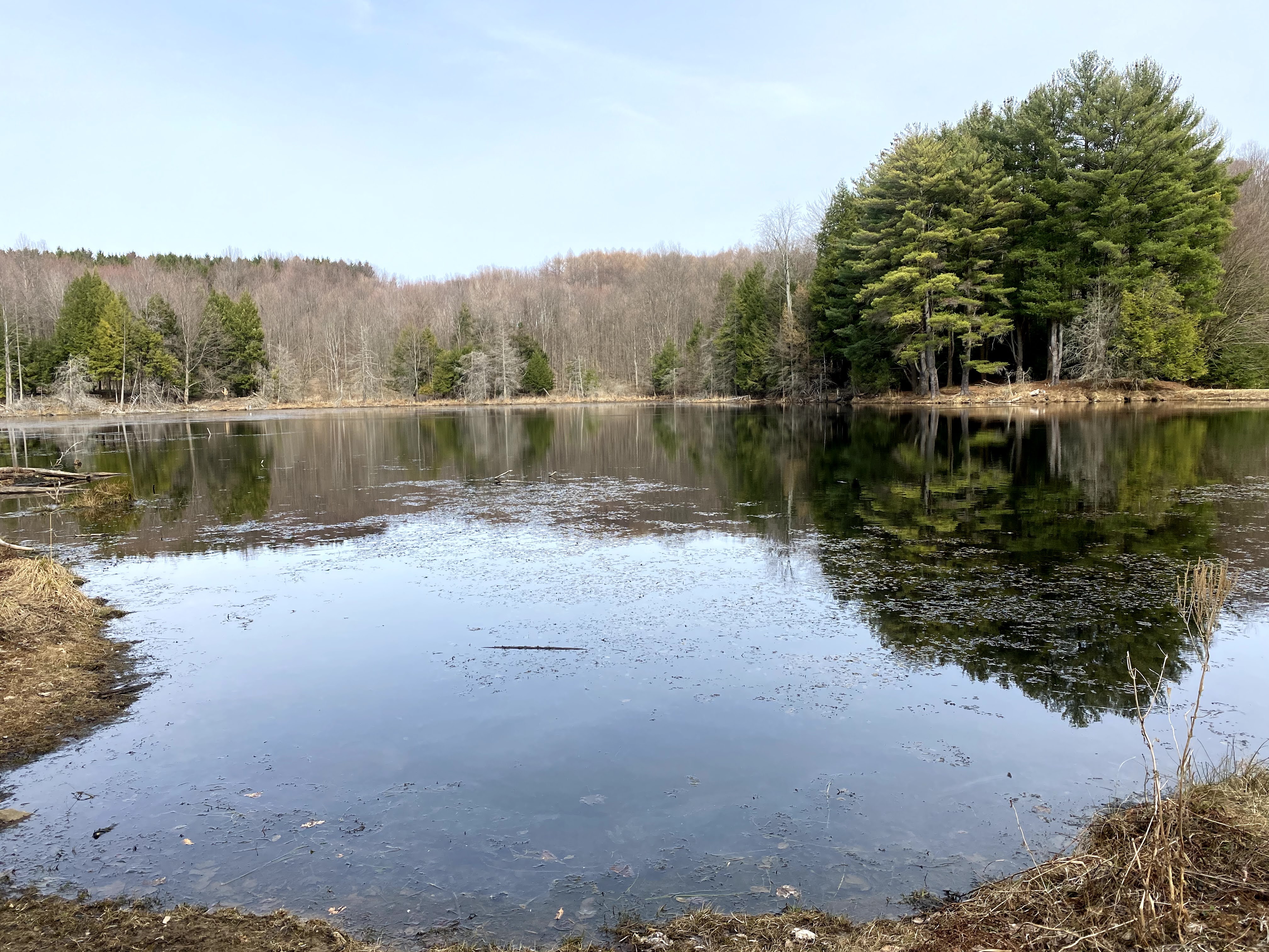
Here are a few extra photos.