
I put on my favorite Darn Tough socks.

I ate a good breakfast. (My husband made it for me.)

I laced up my boots and threw my pack into the car.
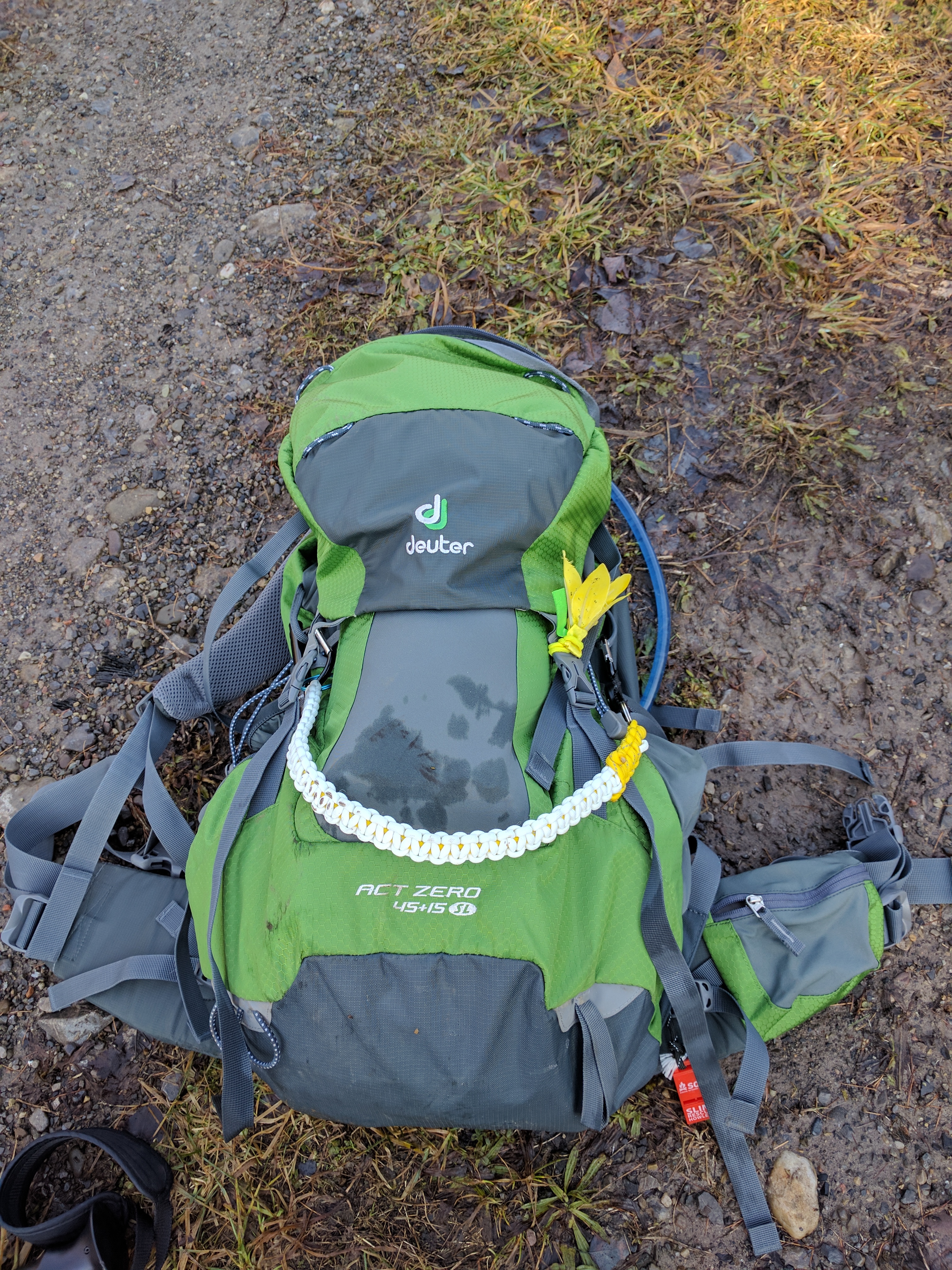
I had packed my big backpack the night before with all the essentials. You know, everything you need on a short day hike. Stove, pots, 2 liters of water, rain gear, head lamp, emergency blanket, extra clothes, gloves, food for two days. I just wanted to be prepared – I am in training after all.
I asked my nephew to hike with me and was happy he agreed. Matthew hikes fast and doesn’t complain when I can’t keep up.

My husband drove us to the trail head on Getman Road and I discovered a very fast moving stream about shin deep right across the trail. I wasn’t familiar with this trail head, but I looked up and down the creek and couldn’t find a way across that wouldn’t mean hiking in wet boots the rest of the way, so we moved to Plan B.
Plan B was entering the trail at Mammot Road. We would have had to hike .7 miles on this road anyway, now we will avoid the road walk. I peeked down the trail before making the commitment to the hike. It seemed wet, but not impassable. I sent my husband on his way back home and Matthew and I took off down the trail.
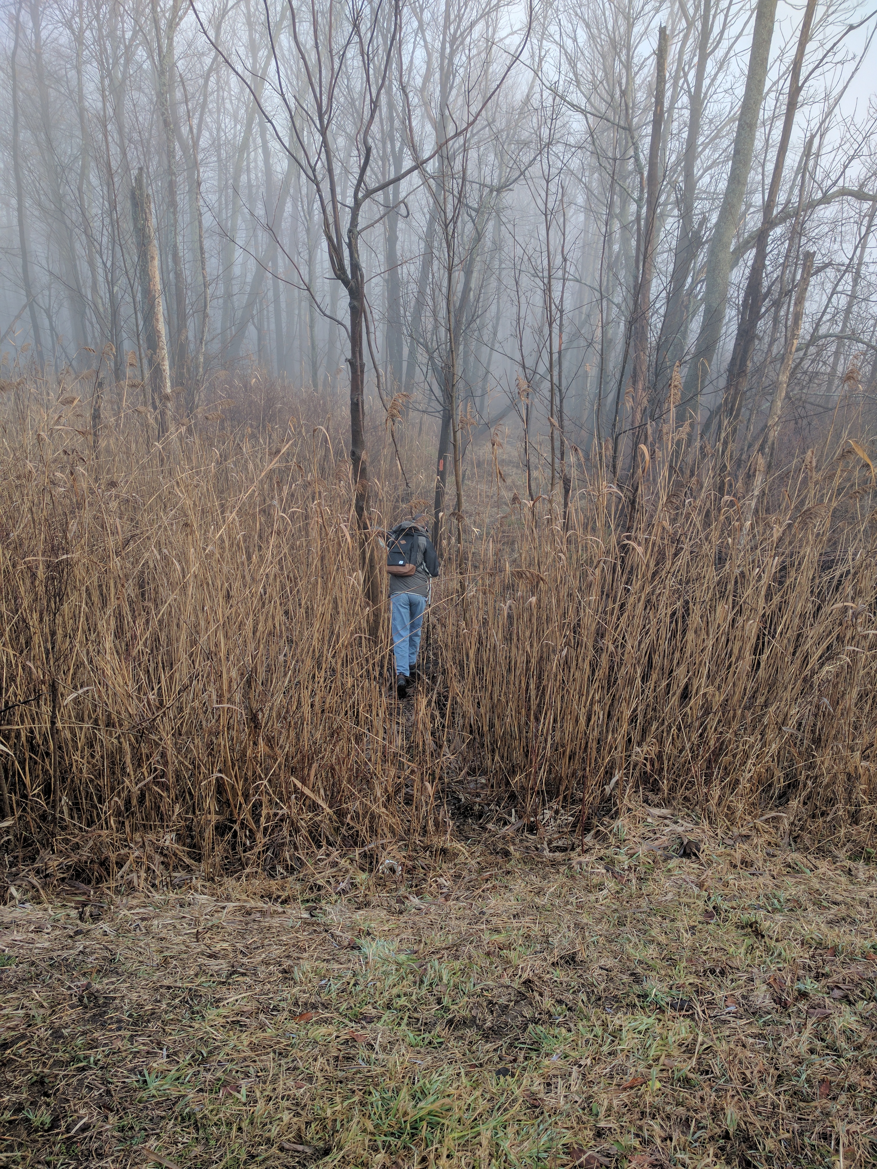
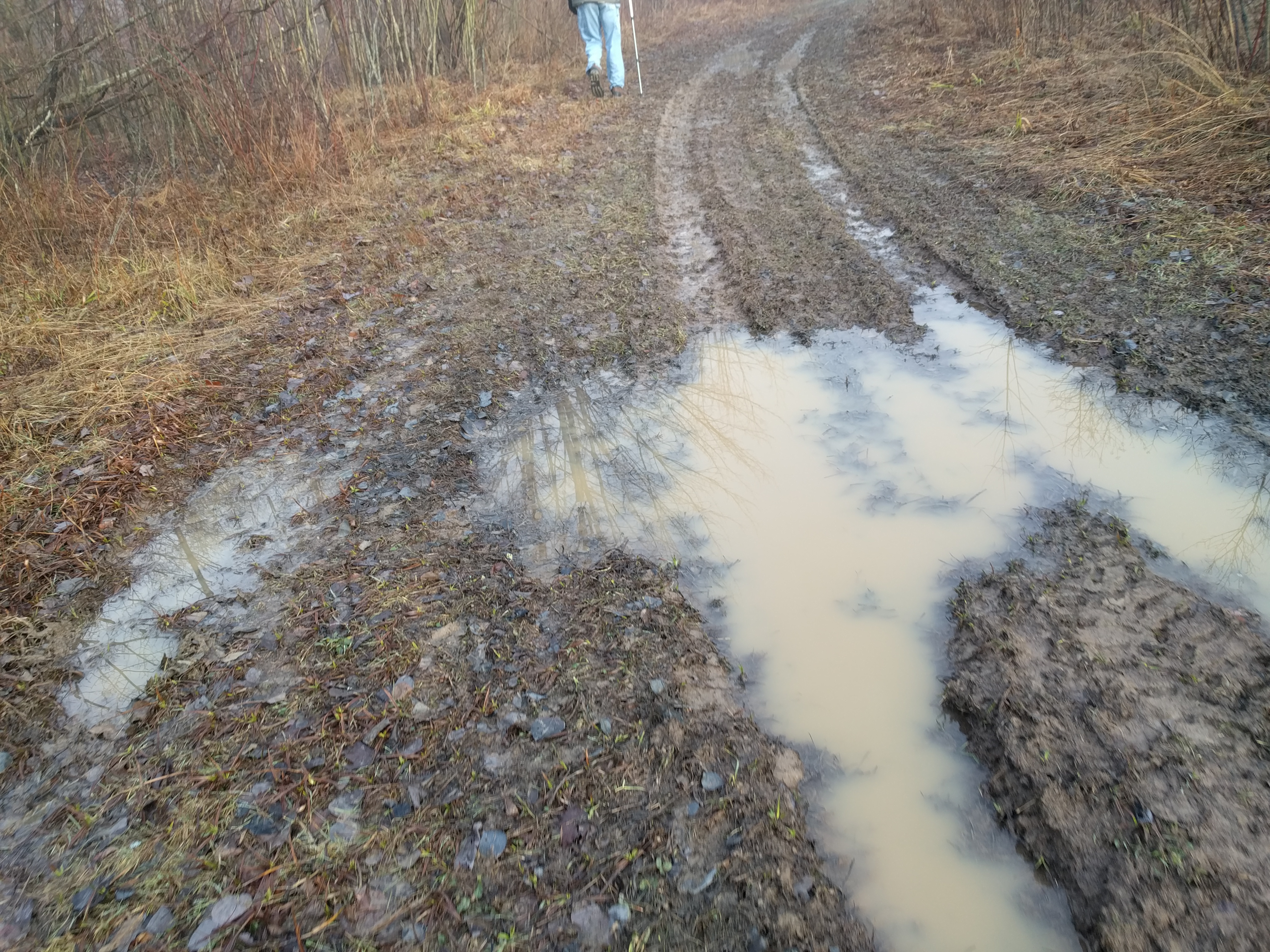
We encountered many, many “puddles” aka swampy areas. Matt has LONG legs and moves like a gazelle. I have short stubby legs and I lacked any finesse hopping over these areas, especially carrying my full pack. I prayed my boots stayed dry and the prayer worked. And I really sloshed through the water. As long as it wasn’t over my ankle I was good. (I love my Keen boots!)
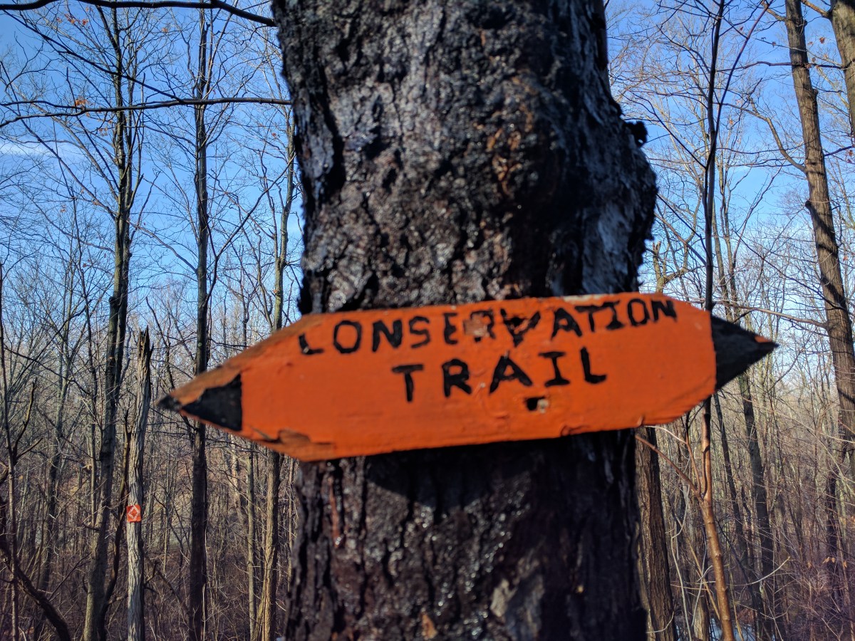
Matt and I stuck close together while the ground was a giant puddle but once the trail dried out, Matt was off like a flash. The trail was very easy to follow. The bright orange blazes were close together and I knew Matt would be able to follow it no problem.
Matt backtracked a little to find me and told me saw a railroad track ahead. Sure enough we came upon the track and glanced in both directions. No trains in sight. Drat. That would have been a treat to see a train so close. We didn’t want to wait around not knowing the schedule at all.


We spotted the orange flag in a tree branch indicating the trail entrance and Matt took off again. I stopped a few times to take some pictures, look at the sky, admire the forest and listen to the birds. We didn’t see any deer, only their footprints and some scat.


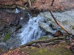
We saw some gorgeous waterfalls, including one that I drive by everyday and didn’t even know that it was there! It was spectacular especially with all the snow melt and rain we had recently.

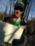
We crossed Broadway into Darien Lake State Park. We found the log book and signed in.

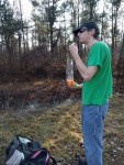
It started to really warm up so I stopped to take off my jacket and we had an impromptu snack time. After a few cheese puffs, beef jerky and red fish we were fortified.

I put a few red fish in my pocket and we continued our journey. It didn’t take long to come across the blue trail to the lean to.
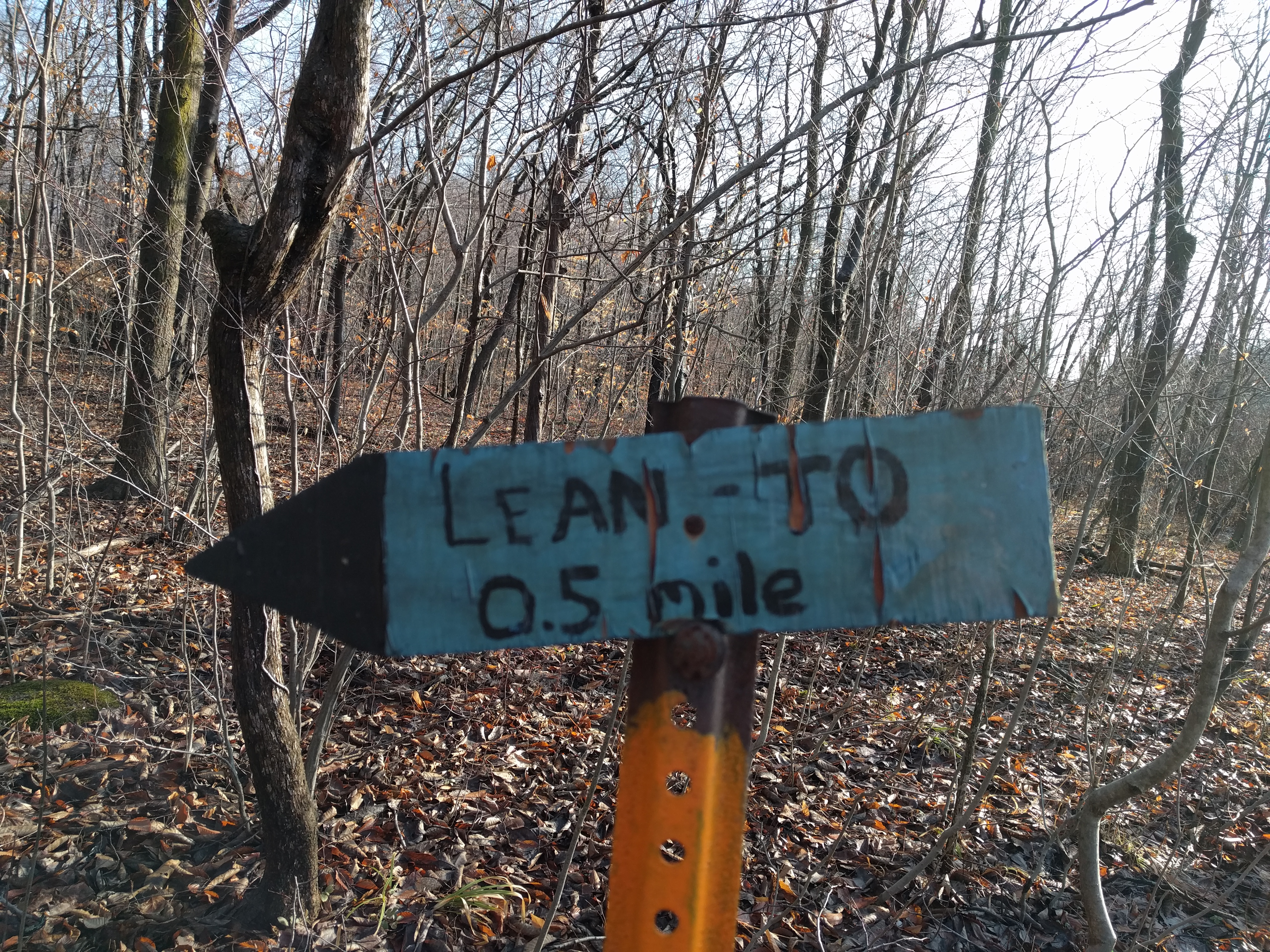
I gave Matt the option to hike it and he declined so we continued on following the orange blazes towards Sumner Road.
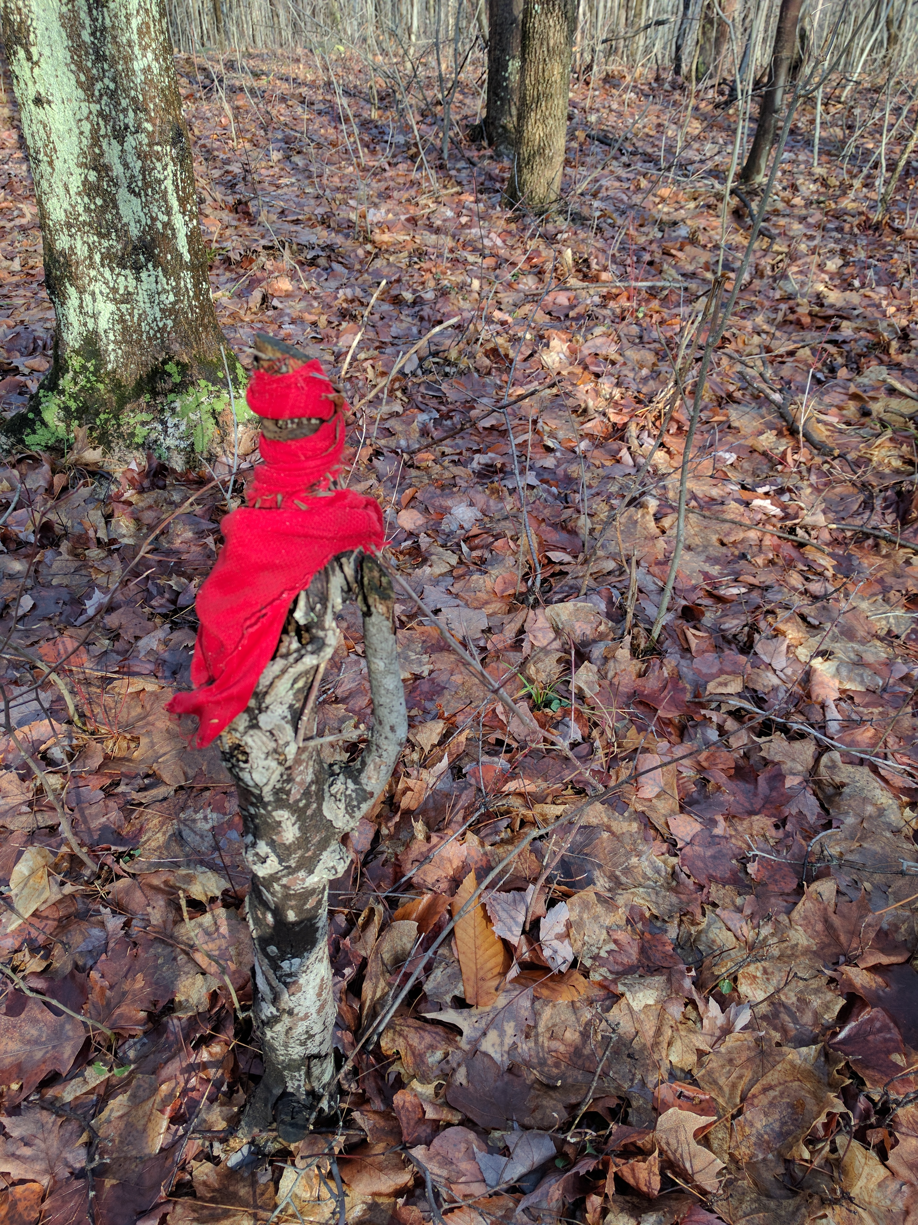
We actually heard a tree fall somewhere nearby and we both stopped in our tracks. We looked at each other relieved that it wasn’t a bear crashing through the woods to eat us. Then I found a ninja tree stump! Tell me it doesn’t look like ninja??
The trail ends at a parking lot on Sumner Road, so when I started hearing traffic I called my husband to pick us up. Timed right we wouldn’t wait long for him. We exited the trail and found a picnic bench, snacked again and had a drink. I picked up trash I found in the lot.

It was a beautiful day of nearly 60 degrees in January. It took us about two hours to hike about 4 miles. Matt said he’d be up to hiking this trail again when it was dry!
I have a few other trails up my sleeve for us, too! I just ordered and received a bunch of maps from the Finger Lakes Trail Conference. My goal this summer is to hike the Letchworth State Park branch trail of the FLT.
